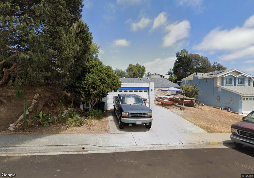
4220 Rous St San Diego, CA 92122
University City NeighborhoodEstimated Value: $1,346,834 - $1,564,000
3
Beds
2
Baths
1,254
Sq Ft
$1,147/Sq Ft
Est. Value
About This Home
This home is located at 4220 Rous St, San Diego, CA 92122 and is currently estimated at $1,437,959, approximately $1,146 per square foot. 4220 Rous St is a home located in San Diego County with nearby schools including Marie Curie Elementary School, Standley Middle School, and University City High School.
Ownership History
Date
Name
Owned For
Owner Type
Purchase Details
Closed on
May 17, 1994
Sold by
Fischer Christopher J and Gail Fischer C
Bought by
Curry Robert and Curry Monica
Current Estimated Value
Home Financials for this Owner
Home Financials are based on the most recent Mortgage that was taken out on this home.
Original Mortgage
$175,500
Interest Rate
4.25%
Create a Home Valuation Report for This Property
The Home Valuation Report is an in-depth analysis detailing your home's value as well as a comparison with similar homes in the area
Home Values in the Area
Average Home Value in this Area
Purchase History
| Date | Buyer | Sale Price | Title Company |
|---|---|---|---|
| Curry Robert | $195,000 | Continental Lawyers Title |
Source: Public Records
Mortgage History
| Date | Status | Borrower | Loan Amount |
|---|---|---|---|
| Previous Owner | Curry Robert | $175,500 |
Source: Public Records
Tax History Compared to Growth
Tax History
| Year | Tax Paid | Tax Assessment Tax Assessment Total Assessment is a certain percentage of the fair market value that is determined by local assessors to be the total taxable value of land and additions on the property. | Land | Improvement |
|---|---|---|---|---|
| 2025 | $3,892 | $327,507 | $125,283 | $202,224 |
| 2024 | $3,892 | $321,086 | $122,827 | $198,259 |
| 2023 | $3,804 | $314,791 | $120,419 | $194,372 |
| 2022 | $3,702 | $308,619 | $118,058 | $190,561 |
| 2021 | $3,675 | $302,569 | $115,744 | $186,825 |
| 2020 | $3,630 | $299,468 | $114,558 | $184,910 |
| 2019 | $3,564 | $293,597 | $112,312 | $181,285 |
| 2018 | $3,331 | $287,841 | $110,110 | $177,731 |
| 2017 | $3,250 | $282,198 | $107,951 | $174,247 |
| 2016 | $3,196 | $276,666 | $105,835 | $170,831 |
| 2015 | $3,148 | $272,511 | $104,246 | $168,265 |
| 2014 | $3,098 | $267,173 | $102,204 | $164,969 |
Source: Public Records
Map
Nearby Homes
- 4282 Robbins St
- 4495 Cather Ave
- 7160 Shoreline Dr Unit 4213
- 7180 Shoreline Dr Unit 5108
- 4627 Huggins St
- 7190 Shoreline Dr Unit 6313
- 4635 Pauling Ave
- 7224 Shoreline Dr Unit 172
- 7285 Calabria Ct Unit 18
- 7132 Calabria Ct
- 7212 Florey St
- 6214 Agee St Unit 34
- 6547 Radcliffe Dr
- 4612 Benhurst Ave
- 6330 Genesee Ave Unit 220
- 6330 Genesee Ave Unit 112
- 6330 Genesee Ave Unit 213
- 6188 Agee St Unit 230
- 5310 Renaissance Ave Unit 4
- 3736 Millikin Ave