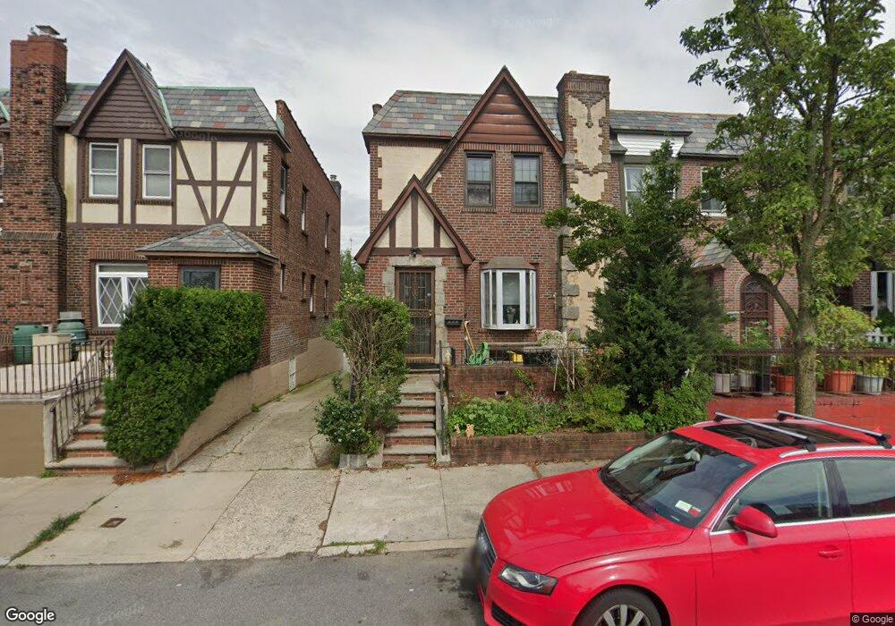
4221 172nd St Flushing, NY 11358
Flushing NeighborhoodEstimated Value: $916,266 - $1,003,000
--
Bed
--
Bath
1,780
Sq Ft
$536/Sq Ft
Est. Value
About This Home
This home is located at 4221 172nd St, Flushing, NY 11358 and is currently estimated at $954,317, approximately $536 per square foot. 4221 172nd St is a home located in Queens County with nearby schools including I.S. 25 Adrien Block, Francis Lewis High School, and St. Andrew Avellino Catholic Academy.
Ownership History
Date
Name
Owned For
Owner Type
Purchase Details
Closed on
Apr 22, 2004
Sold by
Fischetti Frank and Fischetti Dorothy May
Bought by
Belz Louise and Fischetti Frank
Current Estimated Value
Purchase Details
Closed on
Apr 19, 1994
Sold by
Fischetti Frank and Fischetti Dorothy May
Bought by
Fischetti Frank and Fischetti Dorothy May
Create a Home Valuation Report for This Property
The Home Valuation Report is an in-depth analysis detailing your home's value as well as a comparison with similar homes in the area
Home Values in the Area
Average Home Value in this Area
Purchase History
| Date | Buyer | Sale Price | Title Company |
|---|---|---|---|
| Belz Louise | -- | -- | |
| Belz Louise | -- | -- | |
| Fischetti Frank | -- | Commonwealth Land Title Ins | |
| Fischetti Frank | -- | Commonwealth Land Title Ins |
Source: Public Records
Tax History Compared to Growth
Tax History
| Year | Tax Paid | Tax Assessment Tax Assessment Total Assessment is a certain percentage of the fair market value that is determined by local assessors to be the total taxable value of land and additions on the property. | Land | Improvement |
|---|---|---|---|---|
| 2025 | $7,347 | $40,255 | $10,732 | $29,523 |
| 2024 | $7,359 | $37,978 | $11,138 | $26,840 |
| 2023 | $6,993 | $35,831 | $8,869 | $26,962 |
| 2022 | $6,707 | $50,280 | $14,940 | $35,340 |
| 2021 | $7,077 | $53,760 | $14,940 | $38,820 |
| 2020 | $6,805 | $55,440 | $14,940 | $40,500 |
| 2019 | $6,328 | $47,460 | $14,940 | $32,520 |
| 2018 | $5,789 | $29,859 | $10,791 | $19,068 |
| 2017 | $5,652 | $29,196 | $12,343 | $16,853 |
| 2016 | $5,527 | $29,196 | $12,343 | $16,853 |
| 2015 | $3,102 | $27,955 | $13,192 | $14,763 |
| 2014 | $3,102 | $26,374 | $13,405 | $12,969 |
Source: Public Records
Map
Nearby Homes
- 188-02 Northern Blvd
- 42-25 189th St
- 4321 172nd St
- 43-60 Auburndale Ln
- 4360 Auburndale Ln
- 190-17 42nd Ave
- 4014 191st St
- 43-04 169th St
- 4116 169th St
- 45 24 171st St
- 3639 171st St Unit 26
- 191-08 Station Rd
- 43-52 169th St
- 19112 Station Rd
- 189-23 39th Ave Unit 122
- 3641 169th St Unit 2F
- 190-05 39th Ave Unit 140
- 190-05 39th Ave Unit 142
- 43-56 168th St
- 191-22 39th Ave