4221 Hwy 29 S Anderson, SC 29626
Estimated Value: $691,000 - $1,948,000
4
Beds
3
Baths
3,200
Sq Ft
$427/Sq Ft
Est. Value
About This Home
This home is located at 4221 Hwy 29 S, Anderson, SC 29626 and is currently estimated at $1,367,018, approximately $427 per square foot. 4221 Hwy 29 S is a home located in Anderson County with nearby schools including Crescent High School.
Ownership History
Date
Name
Owned For
Owner Type
Purchase Details
Closed on
Jan 30, 2018
Sold by
May Ben T and May Sonya Gail
Bought by
Fm2 Holdings Llc
Current Estimated Value
Purchase Details
Closed on
May 8, 2014
Sold by
Crimson Highway 29 Holdings Llc
Bought by
May Ben T and May Sonya Gail
Home Financials for this Owner
Home Financials are based on the most recent Mortgage that was taken out on this home.
Original Mortgage
$300,000
Interest Rate
4.43%
Mortgage Type
New Conventional
Purchase Details
Closed on
Nov 12, 2013
Sold by
Cutwater Inc
Bought by
Crimson Highway 29 Holdings Llc
Purchase Details
Closed on
Feb 7, 2008
Sold by
Wilbanks Ray E and Wilbanks Diane W
Bought by
Cutwater Inc
Home Financials for this Owner
Home Financials are based on the most recent Mortgage that was taken out on this home.
Original Mortgage
$700,000
Interest Rate
6.06%
Mortgage Type
Purchase Money Mortgage
Create a Home Valuation Report for This Property
The Home Valuation Report is an in-depth analysis detailing your home's value as well as a comparison with similar homes in the area
Home Values in the Area
Average Home Value in this Area
Purchase History
| Date | Buyer | Sale Price | Title Company |
|---|---|---|---|
| Fm2 Holdings Llc | $1,335,000 | None Available | |
| May Ben T | $810,000 | -- | |
| Crimson Highway 29 Holdings Llc | $700,000 | -- | |
| Cutwater Inc | $1,100,000 | Attorney |
Source: Public Records
Mortgage History
| Date | Status | Borrower | Loan Amount |
|---|---|---|---|
| Previous Owner | May Ben T | $300,000 | |
| Previous Owner | Cutwater Inc | $700,000 |
Source: Public Records
Tax History Compared to Growth
Tax History
| Year | Tax Paid | Tax Assessment Tax Assessment Total Assessment is a certain percentage of the fair market value that is determined by local assessors to be the total taxable value of land and additions on the property. | Land | Improvement |
|---|---|---|---|---|
| 2024 | $9,200 | $32,510 | $1,480 | $31,030 |
| 2023 | $9,200 | $32,510 | $1,480 | $31,030 |
| 2022 | $9,034 | $32,510 | $1,480 | $31,030 |
| 2021 | $9,211 | $27,330 | $1,470 | $25,860 |
| 2020 | $9,186 | $27,330 | $1,470 | $25,860 |
| 2019 | $26,785 | $80,100 | $39,240 | $40,860 |
| 2018 | $2,473 | $13,920 | $1,330 | $12,590 |
| 2017 | -- | $13,920 | $1,330 | $12,590 |
| 2016 | $2,463 | $13,940 | $1,330 | $12,610 |
| 2015 | $2,517 | $14,910 | $1,330 | $13,580 |
| 2014 | $2,688 | $20,910 | $1,440 | $19,470 |
Source: Public Records
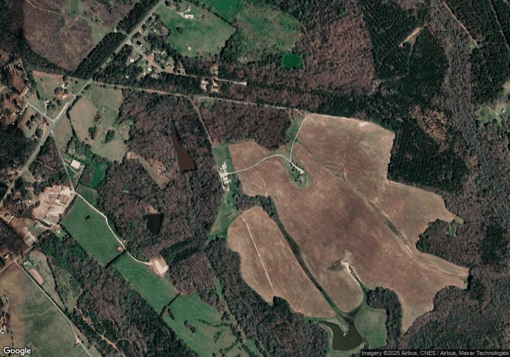
Map
Nearby Homes
- 110 , 112 Hickory Forest Dr
- 117 Hickory Forest Dr
- 143 George Merck Rd
- 102 Hickory Forest Dr
- 4274 Highway 29 S
- 301 Burts Garage Rd
- 3901 U S 29
- 123 Allendale Cir
- 102 Canter Ln
- 111 Anthony Dr
- 113 Anthony Dr
- 4800 S 29 Hwy
- 305 Amy St
- 00 Trump Pointe
- 0 Trump Pointe Unit 20286225
- 2916 Highway 29 S
- 01 Evergreen Church Rd
- 113 Tate Dr
- 505 Stevenson Rd
- 132 Stevenson Rd
- 4221 Highway 29 S
- 0 Hwy 29 S Unit HIGHWAY 29 SOUTH
- 112, 114 & 116 Hickory Forest Dr
- 112 & 116 Hickory Forest Dr
- 110, 112, & 116 Hickory Forest Dr
- 110, 112, 113, & 116 Hickory Forest Dr
- 110, 112, 113, 114, Hickory Forest Dr
- 115 Hickory Forest Dr
- 120 Hickory Forest Dr
- 118 Hickory Forest Dr
- 4233 Highway 29 S
- 1833 Highway 29 S
- 107 Hickory Forest Dr
- 106 Hickory Forest Dr
- 105 Hickory Forest Dr
- 104 Hickory Forest Dr
- 103 Hickory Forest Dr
- 4141 Highway 29 S
- 4145 Highway 29 S
- 501 Burts Garage Rd