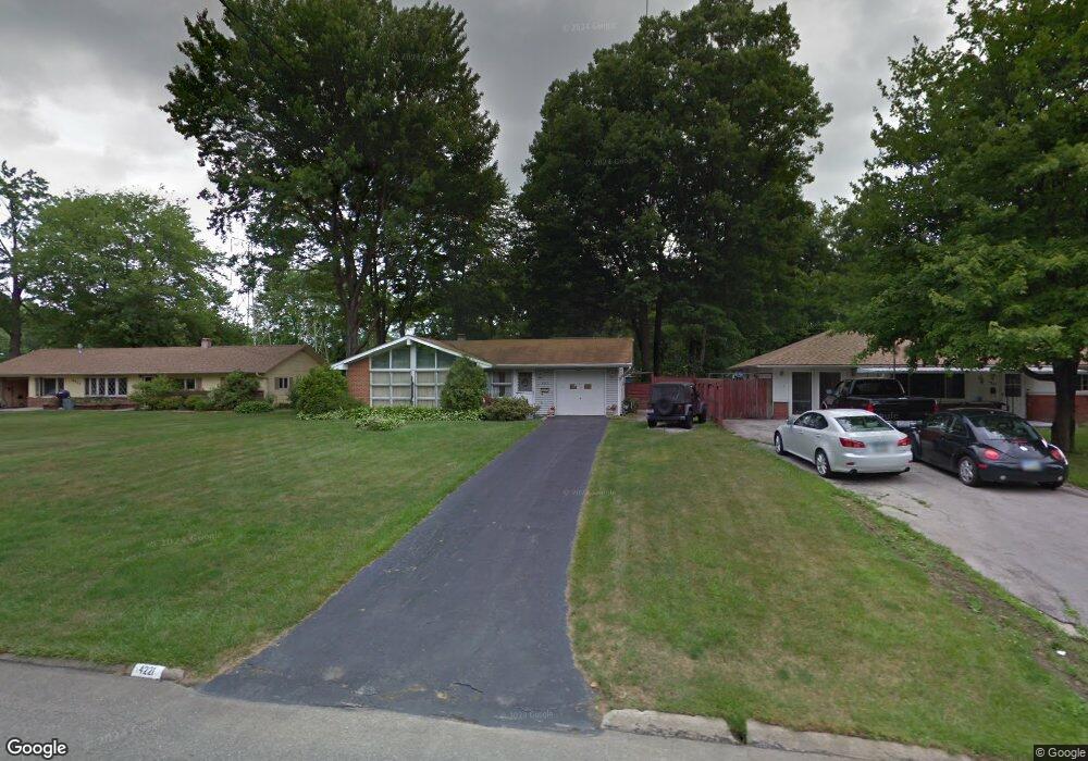
4221 Mill Trace Rd Youngstown, OH 44511
Estimated Value: $139,000 - $172,000
3
Beds
2
Baths
1,344
Sq Ft
$116/Sq Ft
Est. Value
About This Home
This home is located at 4221 Mill Trace Rd, Youngstown, OH 44511 and is currently estimated at $156,157, approximately $116 per square foot. 4221 Mill Trace Rd is a home located in Mahoning County with nearby schools including West Boulevard Elementary School, Boardman Center Middle School, and Boardman High School.
Ownership History
Date
Name
Owned For
Owner Type
Purchase Details
Closed on
Jun 30, 2025
Sold by
Sandra R Frye Revocable Living Trust and Sewell Paul R
Bought by
Sewell Paul R
Current Estimated Value
Purchase Details
Closed on
Mar 4, 1997
Bought by
Frye Sandra R Trustee
Purchase Details
Closed on
Jul 16, 1985
Bought by
Frye Sandra R and Frye Samuel
Create a Home Valuation Report for This Property
The Home Valuation Report is an in-depth analysis detailing your home's value as well as a comparison with similar homes in the area
Home Values in the Area
Average Home Value in this Area
Purchase History
| Date | Buyer | Sale Price | Title Company |
|---|---|---|---|
| Sewell Paul R | -- | None Listed On Document | |
| Sewell Paul R | -- | None Listed On Document | |
| Frye Sandra R Trustee | -- | -- | |
| Frye Sandra R | $40,700 | -- |
Source: Public Records
Tax History
| Year | Tax Paid | Tax Assessment Tax Assessment Total Assessment is a certain percentage of the fair market value that is determined by local assessors to be the total taxable value of land and additions on the property. | Land | Improvement |
|---|---|---|---|---|
| 2025 | $1,457 | $39,170 | $6,130 | $33,040 |
| 2024 | $1,508 | $39,170 | $6,130 | $33,040 |
| 2023 | $1,519 | $39,170 | $6,130 | $33,040 |
| 2022 | $1,200 | $26,760 | $6,380 | $20,380 |
| 2021 | $1,201 | $26,760 | $6,380 | $20,380 |
| 2020 | $1,207 | $26,760 | $6,380 | $20,380 |
| 2019 | $927 | $20,590 | $4,910 | $15,680 |
| 2018 | $754 | $20,590 | $4,910 | $15,680 |
| 2017 | $462 | $20,590 | $4,910 | $15,680 |
| 2016 | $866 | $22,260 | $4,910 | $17,350 |
| 2015 | $848 | $22,260 | $4,910 | $17,350 |
| 2014 | $851 | $22,260 | $4,910 | $17,350 |
| 2013 | $840 | $22,260 | $4,910 | $17,350 |
Source: Public Records
Map
Nearby Homes
- 57 Gillian Ln
- 21.19 acres Truesdale and Lockwood Rd
- 4013 Hopkins Rd
- 85 Lake Shore Dr
- 3930 Risher Rd
- 4052 Lockwood Blvd
- 3911 Arden Blvd
- 3628 Hopkins Rd
- 1038 Zander Dr
- 5025 Lockwood Blvd
- 3560 Arden Blvd
- 3448 Risher Rd
- 3435 Hopkins Rd
- 5200 West Blvd Unit 405
- 5200 West Blvd Unit 505
- 2002 Canfield Rd
- 3049 Straley Ln
- 322 Shields Rd
- 3309 Bears Den Rd
- 4225 Stratford Rd
- 4227 Mill Trace Rd
- 4215 Mill Trace Rd
- 4209 Mill Trace Rd
- 4474 Lockwood Blvd
- 4480 Lockwood Blvd
- 4220 Mill Trace Rd
- 4226 Mill Trace Rd
- 4214 Mill Trace Rd
- 42 Harrow Place
- 165 Harrow Ln
- 4232 Mill Trace Rd
- 48 Harrow Place
- 4208 Mill Trace Rd
- 4486 Lockwood Blvd
- 4462 Lockwood Blvd
- 159 Harrow Ln
- 4202 Mill Trace Rd
- 4492 Lockwood Blvd
- 36 Harrow Place
- 4456 Lockwood Blvd
Your Personal Tour Guide
Ask me questions while you tour the home.