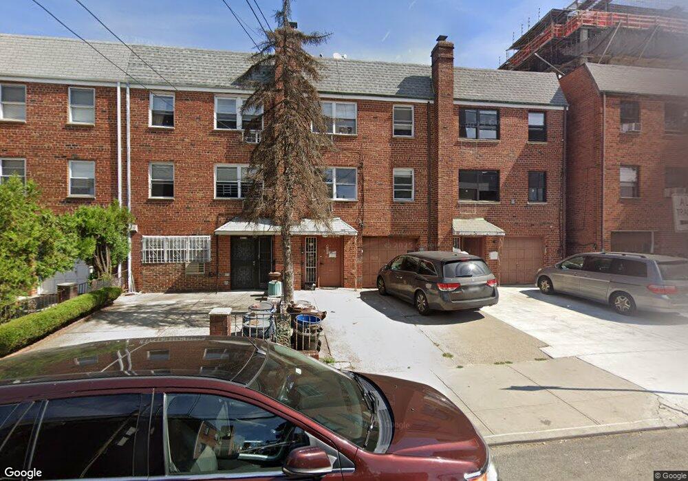
4221 Saull St Flushing, NY 11355
Flushing-Willets Point NeighborhoodEstimated Value: $1,572,000 - $2,091,000
Studio
--
Bath
2,893
Sq Ft
$623/Sq Ft
Est. Value
About This Home
This home is located at 4221 Saull St, Flushing, NY 11355 and is currently estimated at $1,803,052, approximately $623 per square foot. 4221 Saull St is a home located in Queens County with nearby schools including P.S. 120 - Queens, J.H.S. 189Q Daniel Carter Beard, and John Bowne High School.
Ownership History
Date
Name
Owned For
Owner Type
Purchase Details
Closed on
Feb 14, 2025
Sold by
Flushing Faddism Llc
Bought by
4221 Saull Llc
Current Estimated Value
Home Financials for this Owner
Home Financials are based on the most recent Mortgage that was taken out on this home.
Original Mortgage
$850,000
Outstanding Balance
$843,631
Interest Rate
7.04%
Mortgage Type
Purchase Money Mortgage
Estimated Equity
$959,421
Purchase Details
Closed on
May 18, 2023
Sold by
Petsanas Christopher
Bought by
Flushing Faddism Llc
Purchase Details
Closed on
Dec 22, 2004
Sold by
Pennas Cleoniki and Pennas Paul
Bought by
Petsanas Christopher
Create a Home Valuation Report for This Property
The Home Valuation Report is an in-depth analysis detailing your home's value as well as a comparison with similar homes in the area
Home Values in the Area
Average Home Value in this Area
Purchase History
| Date | Buyer | Sale Price | Title Company |
|---|---|---|---|
| 4221 Saull Llc | $1,580,000 | -- | |
| Flushing Faddism Llc | $1,600,000 | -- | |
| Flushing Faddism Llc | $1,600,000 | -- | |
| Petsanas Christopher | $250,000 | -- | |
| Petsanas Christopher | $250,000 | -- |
Source: Public Records
Mortgage History
| Date | Status | Borrower | Loan Amount |
|---|---|---|---|
| Open | 4221 Saull Llc | $850,000 |
Source: Public Records
Tax History
| Year | Tax Paid | Tax Assessment Tax Assessment Total Assessment is a certain percentage of the fair market value that is determined by local assessors to be the total taxable value of land and additions on the property. | Land | Improvement |
|---|---|---|---|---|
| 2025 | $13,246 | $67,951 | $10,408 | $57,543 |
| 2024 | $13,246 | $65,948 | $10,674 | $55,274 |
| 2023 | $12,669 | $62,381 | $11,138 | $51,243 |
| 2022 | $11,781 | $107,580 | $20,880 | $86,700 |
| 2021 | $11,917 | $94,740 | $20,880 | $73,860 |
| 2020 | $11,986 | $99,000 | $20,880 | $78,120 |
| 2019 | $11,496 | $99,660 | $20,880 | $78,780 |
| 2018 | $10,597 | $51,984 | $14,756 | $37,228 |
| 2017 | $10,025 | $49,179 | $12,330 | $36,849 |
| 2016 | $9,433 | $49,179 | $12,330 | $36,849 |
| 2015 | $5,323 | $47,188 | $16,218 | $30,970 |
| 2014 | $5,323 | $43,798 | $15,831 | $27,967 |
Source: Public Records
Map
Nearby Homes
- 134-11 Franklin Ave Unit 3F
- 134-11 Franklin Ave Unit 6E
- 134-11 Franklin Ave Unit 7C
- 134-11 Franklin Ave Unit 6F
- 134-11 Franklin Ave Unit 6B
- 134-11 Franklin Ave Unit 7A
- 134-11 Franklin Ave Unit 4A
- 134-11 Franklin Ave Unit 4F
- 134-11 Franklin Ave Unit 7D
- 134-11 Franklin Ave Unit 3A
- 134-11 Franklin Ave Unit 9A
- 134-11 Franklin Ave Unit 6A
- 134-11 Franklin Ave Unit 4D
- 134-11 Franklin Ave Unit 9B
- 134-11 Franklin Ave Unit 3E
- 134-11 Franklin Ave Unit 9D
- 134-11 Franklin Ave Unit 5C
- 134-11 Franklin Ave Unit 5F
- 134-11 Franklin Ave Unit 5E
- 134-11 Franklin Ave Unit 9C
- 4219 Saull St
- 4223 Saull St
- 4217 Saull St
- 4225 Saull St
- 42-17 Saull St
- 4215 Saull St
- 4227 Saull St
- 42-29 Saull St Unit 1Fl
- 42-29 Saull St
- 4229 Saull St
- 4211 Saull St
- 42-11 Saull St
- 13411 Franklin Ave
- 4231 Saull St
- 4207 Saull St
- 13415 Franklin Ave
- 4233 Saull St
- 13271 Pople Ave
- 13417 Franklin Ave
- 13410 Maple Ave
Your Personal Tour Guide
Ask me questions while you tour the home.