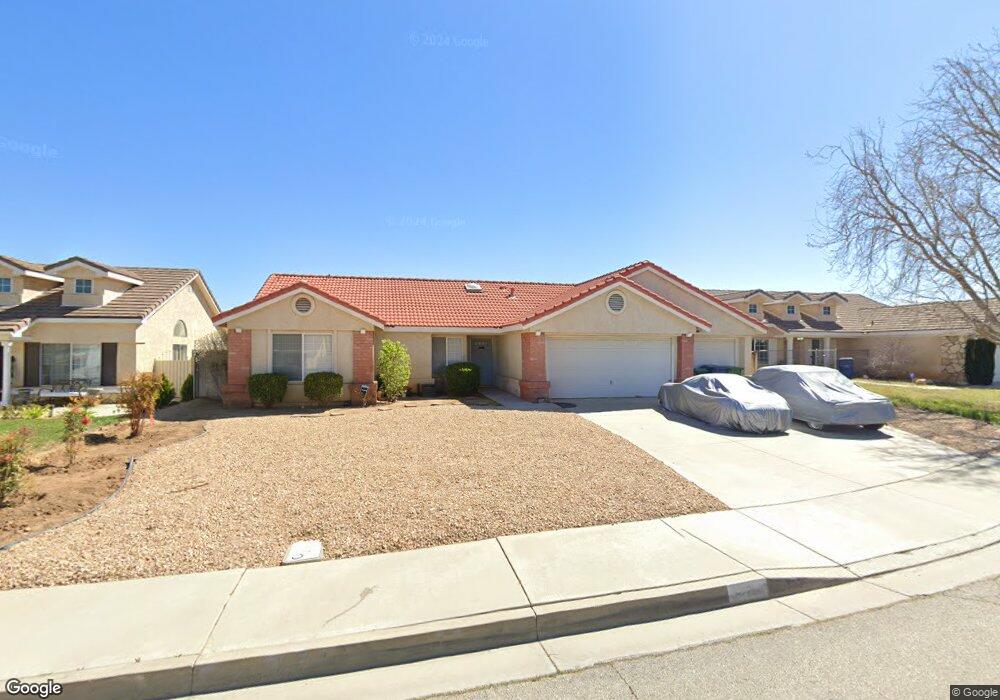
42214 59th St W Lancaster, CA 93536
West Lancaster NeighborhoodEstimated Value: $458,000 - $530,000
3
Beds
2
Baths
1,393
Sq Ft
$349/Sq Ft
Est. Value
About This Home
This home is located at 42214 59th St W, Lancaster, CA 93536 and is currently estimated at $485,627, approximately $348 per square foot. 42214 59th St W is a home located in Los Angeles County with nearby schools including Quartz Hill Elementary School, Joe Walker Middle School, and Quartz Hill High School.
Ownership History
Date
Name
Owned For
Owner Type
Purchase Details
Closed on
May 6, 1994
Sold by
West Venture
Bought by
Graham Carol Anne
Current Estimated Value
Home Financials for this Owner
Home Financials are based on the most recent Mortgage that was taken out on this home.
Original Mortgage
$95,950
Interest Rate
8.6%
Create a Home Valuation Report for This Property
The Home Valuation Report is an in-depth analysis detailing your home's value as well as a comparison with similar homes in the area
Home Values in the Area
Average Home Value in this Area
Purchase History
| Date | Buyer | Sale Price | Title Company |
|---|---|---|---|
| Graham Carol Anne | -- | Continental Lawyers Title Co |
Source: Public Records
Mortgage History
| Date | Status | Borrower | Loan Amount |
|---|---|---|---|
| Previous Owner | Graham Carol Anne | $95,950 |
Source: Public Records
Tax History
| Year | Tax Paid | Tax Assessment Tax Assessment Total Assessment is a certain percentage of the fair market value that is determined by local assessors to be the total taxable value of land and additions on the property. | Land | Improvement |
|---|---|---|---|---|
| 2025 | $3,674 | $201,535 | $40,295 | $161,240 |
| 2024 | $3,674 | $197,584 | $39,505 | $158,079 |
| 2023 | $3,634 | $193,711 | $38,731 | $154,980 |
| 2022 | $3,546 | $189,914 | $37,972 | $151,942 |
| 2021 | $3,153 | $186,191 | $37,228 | $148,963 |
| 2020 | $3,122 | $184,283 | $36,847 | $147,436 |
| 2019 | $3,079 | $180,671 | $36,125 | $144,546 |
| 2018 | $2,987 | $177,129 | $35,417 | $141,712 |
| 2016 | $2,838 | $170,253 | $34,043 | $136,210 |
| 2015 | $2,807 | $167,696 | $33,532 | $134,164 |
| 2014 | $2,804 | $164,412 | $32,876 | $131,536 |
Source: Public Records
Map
Nearby Homes
- 5840 Almond Valley Way
- 42307 61st St W
- 42129 Madison Ct
- 5711 Columbia Way Unit 163
- 5711 Columbia Way Unit Spc 137
- 5711 Columbia Way Unit Spc 80
- 5711 Columbia Way Unit Spc 99
- 5711 Columbia Way Unit 23
- 5711 Columbia Way Unit 96
- 5711 Columbia Way Unit Spc 123
- 5711 Columbia Way Unit Sp72
- 5711 Columbia Way Unit 96
- 5711 Columbia Way Unit 229
- 42144 Madison Ct
- 42118 Tropez Dr
- 6205 Corinthian Place
- 42012 57th St W
- 42427 61st St W
- 42411 62nd St W
- 42419 62nd St W
- 42222 59th St W
- 42206 59th St W
- 42230 59th St W
- 5861 Travis Paul Dr
- 5852 Travis Paul Dr
- 42211 59th St W
- 42219 59th St W
- 42203 59th St W
- 42238 59th St W
- 5853 Travis Paul Dr
- 42227 59th St W
- 5842 Travis Paul Dr
- 5845 Travis Paul Dr
- 42235 59th St W
- 5860 W Avenue l11
- 42246 59th St W
- 5852 W Avenue l11
- 42243 59th St W
- 5834 Travis Paul Dr
- 5837 Travis Paul Dr
Your Personal Tour Guide
Ask me questions while you tour the home.