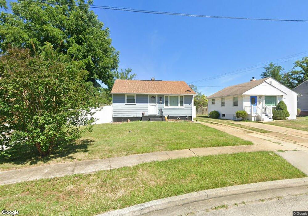
4224 Fords Ln Baltimore, MD 21215
Reisterstown Station NeighborhoodEstimated Value: $155,860 - $175,000
--
Bed
1
Bath
720
Sq Ft
$230/Sq Ft
Est. Value
About This Home
This home is located at 4224 Fords Ln, Baltimore, MD 21215 and is currently estimated at $165,430, approximately $229 per square foot. 4224 Fords Ln is a home located in Baltimore City with nearby schools including Cross Country Elementary School, Booker T. Washington Middle School, and Forest Park High School.
Ownership History
Date
Name
Owned For
Owner Type
Purchase Details
Closed on
Oct 26, 2022
Sold by
Campbell Pamela Nannette
Bought by
Campbell Pamela Nannette and Branch Brittany Nicole
Current Estimated Value
Home Financials for this Owner
Home Financials are based on the most recent Mortgage that was taken out on this home.
Original Mortgage
$130,240
Interest Rate
6.33%
Mortgage Type
FHA
Purchase Details
Closed on
Apr 24, 2020
Sold by
Campbell Pamela Nannette
Bought by
Campbell Pamela Nannette and Branch Brittany Nicole
Purchase Details
Closed on
Jul 13, 2017
Sold by
Campbell Pamela Nannette and Muldrow Josephine
Bought by
Campbell Pamela Nannette
Create a Home Valuation Report for This Property
The Home Valuation Report is an in-depth analysis detailing your home's value as well as a comparison with similar homes in the area
Home Values in the Area
Average Home Value in this Area
Purchase History
| Date | Buyer | Sale Price | Title Company |
|---|---|---|---|
| Campbell Pamela Nannette | -- | Clear Title Group | |
| Campbell Pamela Nannette | -- | Clear Title Group | |
| Campbell Pamela Nannette | -- | None Available | |
| Campbell Pamela Nannette | -- | None Available |
Source: Public Records
Mortgage History
| Date | Status | Borrower | Loan Amount |
|---|---|---|---|
| Previous Owner | Campbell Pamela Nannette | $130,240 |
Source: Public Records
Tax History Compared to Growth
Tax History
| Year | Tax Paid | Tax Assessment Tax Assessment Total Assessment is a certain percentage of the fair market value that is determined by local assessors to be the total taxable value of land and additions on the property. | Land | Improvement |
|---|---|---|---|---|
| 2025 | $2,442 | $120,467 | -- | -- |
| 2024 | $2,442 | $112,800 | $32,500 | $80,300 |
| 2023 | $2,408 | $111,633 | $0 | $0 |
| 2022 | $2,385 | $110,467 | $0 | $0 |
| 2021 | $2,579 | $109,300 | $32,500 | $76,800 |
| 2020 | $2,355 | $109,000 | $0 | $0 |
| 2019 | $2,336 | $108,700 | $0 | $0 |
| 2018 | $2,343 | $108,400 | $32,500 | $75,900 |
| 2017 | $2,275 | $108,400 | $0 | $0 |
| 2016 | $1,961 | $108,400 | $0 | $0 |
| 2015 | $1,961 | $117,200 | $0 | $0 |
| 2014 | $1,961 | $117,200 | $0 | $0 |
Source: Public Records
Map
Nearby Homes
- 4108 Fords Ln
- 6509 Parr Ave
- 6603 Fairmount Ave
- 3720 Bartwood Rd
- 6705 Fairmount Ave
- 3737 Clarks Ln
- 6203 Hopeton Ave
- 3601 Clarks Ln Unit 424
- 3601 Clarks Ln Unit 506
- 3601 Clarks Ln
- 3601 Clarks Ln
- 3601 Clarks Ln
- 3601 Clarks Ln
- 6606 Park Heights Ave Unit 305
- 6606 Park Heights Ave Unit 905
- 6606 Park Heights Ave Unit 615
- 6811 Parsons Ave
- 3803 Menlo Dr
- 6210 Park Heights Ave Unit 700
- 6317 Park Heights Ave Unit T9