4224 High Range Ln Edmond, OK 73034
Coffee Creek NeighborhoodEstimated Value: $688,600 - $798,000
3
Beds
4
Baths
3,410
Sq Ft
$215/Sq Ft
Est. Value
About This Home
This home is located at 4224 High Range Ln, Edmond, OK 73034 and is currently estimated at $732,650, approximately $214 per square foot. 4224 High Range Ln is a home located in Oklahoma County with nearby schools including Centennial Elementary School, Central Middle School, and Memorial High School.
Ownership History
Date
Name
Owned For
Owner Type
Purchase Details
Closed on
Jul 21, 2025
Sold by
Patel Mukti
Bought by
Muktirx Trust and Patel
Current Estimated Value
Purchase Details
Closed on
Oct 29, 2009
Sold by
Adams Kirby Homes Llc
Bought by
Patel Mukti
Home Financials for this Owner
Home Financials are based on the most recent Mortgage that was taken out on this home.
Original Mortgage
$375,000
Interest Rate
5.05%
Mortgage Type
New Conventional
Purchase Details
Closed on
Oct 15, 2007
Sold by
The Ranch Property Co Llc
Bought by
Adams Kirby Homes Llc
Home Financials for this Owner
Home Financials are based on the most recent Mortgage that was taken out on this home.
Original Mortgage
$412,000
Interest Rate
6.37%
Mortgage Type
Construction
Create a Home Valuation Report for This Property
The Home Valuation Report is an in-depth analysis detailing your home's value as well as a comparison with similar homes in the area
Home Values in the Area
Average Home Value in this Area
Purchase History
| Date | Buyer | Sale Price | Title Company |
|---|---|---|---|
| Muktirx Trust | -- | None Listed On Document | |
| Muktirx Trust | -- | None Listed On Document | |
| Patel Mukti | $475,000 | Multiple | |
| Adams Kirby Homes Llc | $60,000 | Lawyers Title Of Ok City Inc |
Source: Public Records
Mortgage History
| Date | Status | Borrower | Loan Amount |
|---|---|---|---|
| Previous Owner | Patel Mukti | $375,000 | |
| Previous Owner | Adams Kirby Homes Llc | $412,000 |
Source: Public Records
Tax History Compared to Growth
Tax History
| Year | Tax Paid | Tax Assessment Tax Assessment Total Assessment is a certain percentage of the fair market value that is determined by local assessors to be the total taxable value of land and additions on the property. | Land | Improvement |
|---|---|---|---|---|
| 2024 | $6,308 | $63,541 | $10,858 | $52,683 |
| 2023 | $6,308 | $60,515 | $8,359 | $52,156 |
| 2022 | $6,031 | $57,634 | $9,501 | $48,133 |
| 2021 | $5,717 | $54,890 | $9,724 | $45,166 |
| 2020 | $5,624 | $53,350 | $9,724 | $43,626 |
| 2019 | $5,557 | $52,470 | $10,331 | $42,139 |
| 2018 | $5,720 | $53,680 | $0 | $0 |
| 2017 | $5,757 | $54,284 | $10,331 | $43,953 |
| 2016 | $5,710 | $53,954 | $10,331 | $43,623 |
| 2015 | $5,732 | $54,224 | $10,271 | $43,953 |
| 2014 | $5,552 | $52,587 | $10,392 | $42,195 |
Source: Public Records
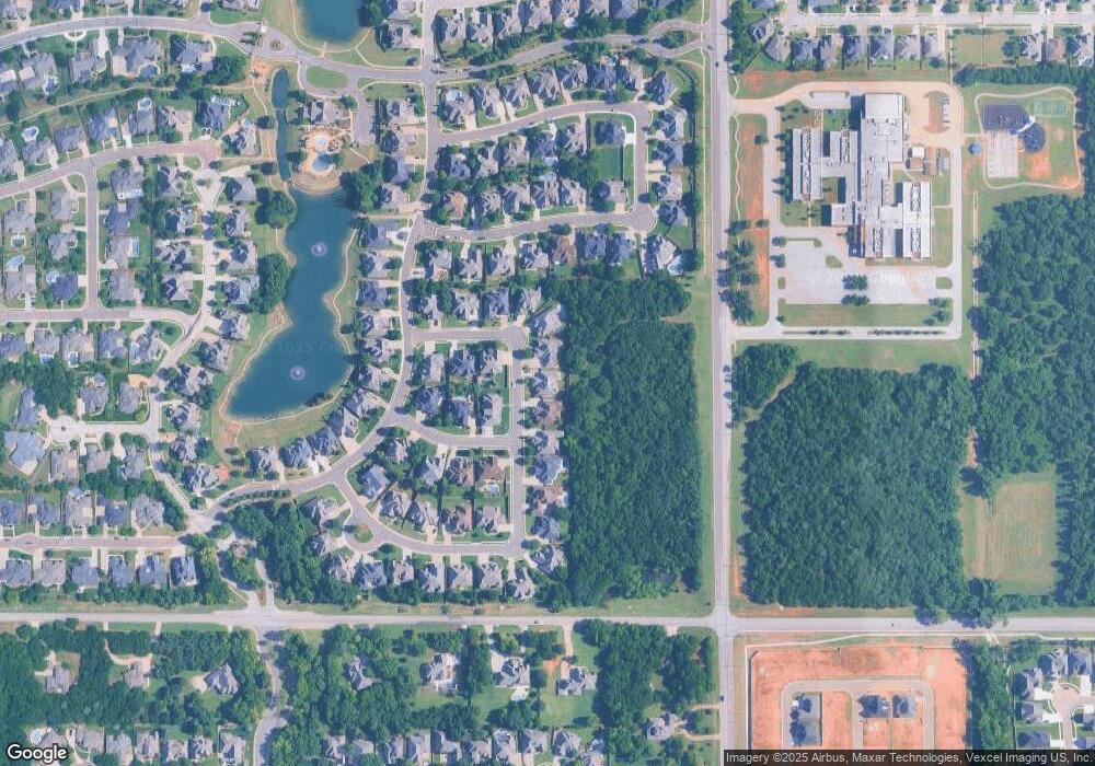
Map
Nearby Homes
- 4300 High Range Ln
- 4408 Shorthorn Ln
- 4400 The Ranch Rd
- 2650 E Coffee Creek Rd
- 2917 Stone Meadow Way
- 3001 Stone Meadow Way
- 4009 Stone Hollow Ln
- Plan 2472 at The Cottages at Iron Horse - Stone Hill Cottages at Iron Horse Ranch
- The Ashton Court Plan at The Cottages at Iron Horse
- The Devonshire Plan at The Cottages at Iron Horse
- The French Chateau Plan at The Cottages at Iron Horse
- PrevNext The Ivy Cottage Plan at The Cottages at Iron Horse
- The Terrace Cottage Plan at The Cottages at Iron Horse
- 4001 Stone Hollow Ln
- 3924 Stone Hollow Ln
- 3916 Stone Hollow Ln
- 3917 Stone Bluff Way
- 7941 Silver Spur Ct
- 4008 Shady Hill Trail
- 4724 Deerfield Dr
- 4216 High Range Ln
- 2708 Stetson Dr
- 4208 High Range Ln
- 4217 High Range Ln
- 4308 High Range Ln
- 2717 Stetson Dr
- 2700 Stetson Dr
- 4200 High Range Ln
- 2701 Maverick Rd
- 2709 Stetson Dr
- 2708 Maverick Rd
- 2701 Stetson Dr
- 4300 Roundup Rd
- 4124 High Range Ln
- 4240 Roundup Rd
- 2716 Cattle Dr
- 2700 Maverick Rd
- 2708 Cattle Dr
- 2724 Cattle Dr
- 4316 Roundup Rd