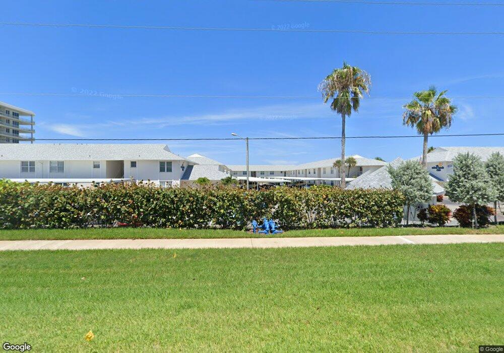
4225 S Atlantic Ave Unit 2510 New Smyrna Beach, FL 32169
New Smyrna Beachfront NeighborhoodEstimated Value: $464,000 - $571,000
2
Beds
2
Baths
872
Sq Ft
$589/Sq Ft
Est. Value
About This Home
This home is located at 4225 S Atlantic Ave Unit 2510, New Smyrna Beach, FL 32169 and is currently estimated at $513,204, approximately $588 per square foot. 4225 S Atlantic Ave Unit 2510 is a home located in Volusia County with nearby schools including Coronado Beach Elementary School, New Smyrna Beach Middle School, and New Smyrna Beach High School.
Ownership History
Date
Name
Owned For
Owner Type
Purchase Details
Closed on
Jul 9, 2013
Sold by
Robinson James Thomas and Robinson Marilyn
Bought by
Burns Patrick M
Current Estimated Value
Purchase Details
Closed on
Nov 17, 2011
Sold by
Robinson James Thomas
Bought by
Robinson James Thomas and Robinson Marilyn
Purchase Details
Closed on
Jun 23, 2011
Sold by
Robinson James Thomas
Bought by
Robinson James Thomas and Robinson Marilyn
Purchase Details
Closed on
Jun 30, 2005
Sold by
Phillips Alan G and Phillips Rebecca
Bought by
Phillips Rebecca
Purchase Details
Closed on
Aug 15, 1986
Bought by
Burns Patrick M
Purchase Details
Closed on
Jun 15, 1978
Bought by
Burns Patrick M
Purchase Details
Closed on
Jun 15, 1973
Bought by
Burns Patrick M
Create a Home Valuation Report for This Property
The Home Valuation Report is an in-depth analysis detailing your home's value as well as a comparison with similar homes in the area
Home Values in the Area
Average Home Value in this Area
Purchase History
| Date | Buyer | Sale Price | Title Company |
|---|---|---|---|
| Burns Patrick M | $295,000 | Inlet Title Company Inc | |
| Robinson James Thomas | -- | None Available | |
| Robinson James Thomas | -- | Attorney | |
| Phillips Rebecca | $90,000 | -- | |
| Burns Patrick M | $93,500 | -- | |
| Burns Patrick M | $46,000 | -- | |
| Burns Patrick M | $34,800 | -- |
Source: Public Records
Tax History Compared to Growth
Tax History
| Year | Tax Paid | Tax Assessment Tax Assessment Total Assessment is a certain percentage of the fair market value that is determined by local assessors to be the total taxable value of land and additions on the property. | Land | Improvement |
|---|---|---|---|---|
| 2025 | $7,978 | $560,272 | -- | $560,272 |
| 2024 | $7,978 | $560,272 | -- | $560,272 |
| 2023 | $7,978 | $519,175 | $0 | $519,175 |
| 2022 | $6,769 | $395,666 | $0 | $395,666 |
| 2021 | $4,838 | $275,436 | $0 | $275,436 |
| 2020 | $4,356 | $239,367 | $0 | $239,367 |
| 2019 | $4,978 | $264,178 | $0 | $264,178 |
| 2018 | $4,805 | $267,130 | $1 | $267,129 |
| 2017 | $4,625 | $259,588 | $64,897 | $194,691 |
| 2016 | $4,248 | $199,363 | $0 | $0 |
| 2015 | $4,416 | $199,363 | $0 | $0 |
| 2014 | $5,507 | $245,827 | $0 | $0 |
Source: Public Records
Map
Nearby Homes
- 4225 S Atlantic Ave Unit 2070
- 881 Windover Ct Unit 50A
- 898 Baybreeze Way Unit 880
- 858 Baybreeze Way Unit 68C
- 4285 Sea Mist Dr
- 4287 Sea Mist Dr
- 4325 Sea Mist Dr Unit 247
- 4175 S Atlantic Ave Unit 314
- 4175 S Atlantic Ave Unit 4110
- 4175 S Atlantic Ave Unit 2280
- 4175 S Atlantic Ave Unit B405
- 4175 S Atlantic Ave Unit 4050
- 4175 S Atlantic Ave Unit 5280
- 4175 S Atlantic Ave Unit 507
- 4175 S Atlantic Ave Unit 508
- 4175 S Atlantic Ave Unit 4070
- 4175 S Atlantic Ave Unit 1020
- 4175 S Atlantic Ave Unit 4120
- 4322 Sea Mist Dr
- 4155 S Atlantic Ave Unit 111
- 4225 S Atlantic Ave Unit 2320
- 4225 S Atlantic Ave Unit 1160
- 4225 S Atlantic Ave Unit 214
- 4225 S Atlantic Ave Unit 209
- 4225 S Atlantic Ave Unit 119
- 4225 S Atlantic Ave Unit 1440
- 4225 S Atlantic Ave Unit 213
- 4225 S Atlantic Ave Unit 142
- 4225 S Atlantic Ave Unit 211
- 4225 S Atlantic Ave Unit 147
- 4225 S Atlantic Ave Unit 101
- 4225 S Atlantic Ave Unit 243
- 4225 S Atlantic Ave Unit 2490
- 4225 S Atlantic Ave Unit 2470
- 4225 S Atlantic Ave Unit 2460
- 4225 S Atlantic Ave Unit 245
- 4225 S Atlantic Ave Unit 2440
- 4225 S Atlantic Ave Unit 2430