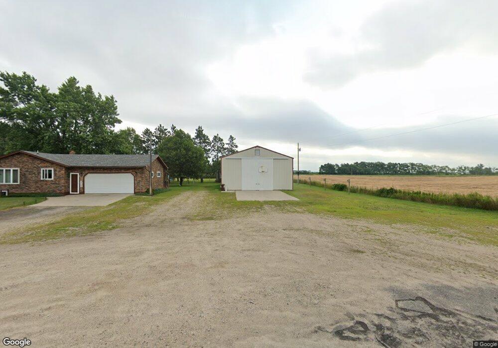
42258 439th Ave Perham, MN 56573
Estimated Value: $224,000 - $343,000
3
Beds
2
Baths
1,008
Sq Ft
$294/Sq Ft
Est. Value
About This Home
This home is located at 42258 439th Ave, Perham, MN 56573 and is currently estimated at $296,793, approximately $294 per square foot. 42258 439th Ave is a home located in Otter Tail County with nearby schools including Heart of the Lake Elementary School, Perham Senior High School, and St. Paul's Lutheran School.
Ownership History
Date
Name
Owned For
Owner Type
Purchase Details
Closed on
Dec 29, 2021
Sold by
Brown Lorraine
Bought by
Brown Todd
Current Estimated Value
Home Financials for this Owner
Home Financials are based on the most recent Mortgage that was taken out on this home.
Original Mortgage
$147,806
Outstanding Balance
$136,222
Interest Rate
3.11%
Mortgage Type
New Conventional
Estimated Equity
$160,571
Create a Home Valuation Report for This Property
The Home Valuation Report is an in-depth analysis detailing your home's value as well as a comparison with similar homes in the area
Home Values in the Area
Average Home Value in this Area
Purchase History
| Date | Buyer | Sale Price | Title Company |
|---|---|---|---|
| Brown Todd | $162,000 | -- |
Source: Public Records
Mortgage History
| Date | Status | Borrower | Loan Amount |
|---|---|---|---|
| Open | Brown Todd | $147,806 |
Source: Public Records
Tax History
| Year | Tax Paid | Tax Assessment Tax Assessment Total Assessment is a certain percentage of the fair market value that is determined by local assessors to be the total taxable value of land and additions on the property. | Land | Improvement |
|---|---|---|---|---|
| 2025 | $2,120 | $290,000 | $34,800 | $255,200 |
| 2024 | $2,160 | $307,300 | $34,800 | $272,500 |
| 2023 | $2,048 | $270,800 | $34,800 | $236,000 |
| 2022 | $2,762 | $204,800 | $0 | $0 |
| 2021 | $1,882 | $270,800 | $34,800 | $236,000 |
| 2020 | $1,758 | $208,200 | $34,800 | $173,400 |
| 2019 | $1,710 | $188,700 | $34,800 | $153,900 |
| 2018 | $1,534 | $188,700 | $34,800 | $153,900 |
| 2017 | $1,748 | $168,800 | $34,800 | $134,000 |
| 2016 | $1,594 | $163,600 | $34,800 | $128,800 |
| 2015 | $1,536 | $0 | $0 | $0 |
| 2014 | -- | $162,400 | $34,800 | $127,600 |
Source: Public Records
Map
Nearby Homes
- 902 9th St SW
- 805 9th Ave SW Unit B
- 43894 Easy St
- 829 9th Ave SW
- 357 5th Ave SW
- 155 4th Ave SW
- 318 W Main St
- 420 7th St NE
- 332 4th St NW
- 452 4th St NW
- 42734 State Highway 108
- 815 6th Ave NE
- 1012 6th Ave NE
- 1019 7th Ave NE
- 921 9th St NW
- 1003 8th Ave NW
- 710 11th St NW
- 1218 8th Ave NW
- 41165 427th St
- 42626 County Highway 125
- 42322 439th Ave
- 42269 State Highway 78
- 42253 439th Ave
- 42297 439th Ave
- 42313 State Highway 78
- 42368 439th Ave
- 42357 439th Ave
- 42365 State Highway 78
- 42369 439th Ave
- 42410 439th Ave
- 42399 439th Ave
- 42373 State Highway 78
- 42423 State Highway 78
- 42453 439th Ave
- 43920 Fort Thunder Rd
- 43865 Minnesota St
- 42475 State Highway 78
- 43929 Minnesota St
- 43974 Minnesota 78
- 43767 Fort Thunder Rd
Your Personal Tour Guide
Ask me questions while you tour the home.