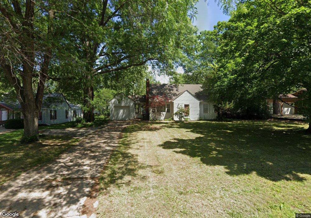
4226 SW 17th St Topeka, KS 66604
McAlister Parkway NeighborhoodEstimated Value: $111,000 - $144,000
2
Beds
1
Bath
970
Sq Ft
$128/Sq Ft
Est. Value
About This Home
This home is located at 4226 SW 17th St, Topeka, KS 66604 and is currently estimated at $124,120, approximately $127 per square foot. 4226 SW 17th St is a home located in Shawnee County with nearby schools including Whitson Elementary School, Landon Middle School, and Topeka West High School.
Ownership History
Date
Name
Owned For
Owner Type
Purchase Details
Closed on
Jan 30, 2010
Sold by
Gardner Debra L
Bought by
Roach David L
Current Estimated Value
Purchase Details
Closed on
Dec 15, 2005
Sold by
Secretary Of Housing & Urban Development
Bought by
Roach David L and Gardner Debra L
Home Financials for this Owner
Home Financials are based on the most recent Mortgage that was taken out on this home.
Original Mortgage
$48,224
Interest Rate
6.3%
Mortgage Type
New Conventional
Purchase Details
Closed on
Mar 31, 2005
Sold by
Duree Dale A and Duree Jennifer L
Bought by
The Secretary Of Hud
Create a Home Valuation Report for This Property
The Home Valuation Report is an in-depth analysis detailing your home's value as well as a comparison with similar homes in the area
Home Values in the Area
Average Home Value in this Area
Purchase History
| Date | Buyer | Sale Price | Title Company |
|---|---|---|---|
| Roach David L | -- | None Available | |
| Roach David L | -- | None Available | |
| The Secretary Of Hud | -- | Kansas Secured Title |
Source: Public Records
Mortgage History
| Date | Status | Borrower | Loan Amount |
|---|---|---|---|
| Previous Owner | Roach David L | $48,224 |
Source: Public Records
Tax History Compared to Growth
Tax History
| Year | Tax Paid | Tax Assessment Tax Assessment Total Assessment is a certain percentage of the fair market value that is determined by local assessors to be the total taxable value of land and additions on the property. | Land | Improvement |
|---|---|---|---|---|
| 2025 | $1,635 | $12,505 | -- | -- |
| 2023 | $1,635 | $11,345 | $0 | $0 |
| 2022 | $1,433 | $9,865 | $0 | $0 |
| 2021 | $1,327 | $8,579 | $0 | $0 |
| 2020 | $1,248 | $8,170 | $0 | $0 |
| 2019 | $1,230 | $8,010 | $0 | $0 |
| 2018 | $1,194 | $7,777 | $0 | $0 |
| 2017 | $1,172 | $7,624 | $0 | $0 |
| 2014 | $1,299 | $8,335 | $0 | $0 |
Source: Public Records
Map
Nearby Homes
- 4221 SW 17th St
- 4200 SW Stratford Rd
- 4401 SW Connemara Ln
- 4405 SW Connemara Ln
- 4230 SW 19th St
- 3636 SW Stratford Rd
- 1421 SW Mcalister Ave
- 1625 SW Lakeside Dr
- 1533 SW Stratford Rd
- 1274 SW Indian Trail Ct
- 1944 SW Quivira Dr
- 2028 SW Stone Ave
- 3516 SW Avalon Ln
- 3405 SW Huntoon St
- 1212 SW New Forest Dr
- 2012 SW Westwood Dr
- 1520 SW Oakley Ave
- 3100 SW Canterbury Ln
- 1728 SW Fairlawn Rd
- 1225 SW Lakeside Dr
- 4214 SW 17th St
- 4300 SW 17th St
- 4225 SW Holly Ln
- 4221 SW Holly Ln
- 4301 SW Holly Ln
- 4210 SW 17th St
- 4304 SW 17th St
- 4217 SW 17th St
- 4215 SW 17th St
- 4209 SW Holly Ln
- 4309 SW Holly Ln
- 4301 SW 17th St
- 4204 SW 17th St
- 4312 SW 17th St
- 1703 SW Seabrook Ave
- 4305 SW 17th St
- 4201 SW Holly Ln
- 4315 SW Holly Ln
- 1716 SW Moundview Dr
- 4216 SW Holly Ln