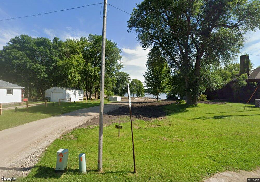
4227 112th St NW Maple Lake, MN 55358
Estimated Value: $221,000 - $726,000
1
Bed
--
Bath
766
Sq Ft
$549/Sq Ft
Est. Value
About This Home
This home is located at 4227 112th St NW, Maple Lake, MN 55358 and is currently estimated at $420,333, approximately $548 per square foot. 4227 112th St NW is a home with nearby schools including Annandale Elementary School, Annandale Middle School, and Annandale Senior High School.
Ownership History
Date
Name
Owned For
Owner Type
Purchase Details
Closed on
May 21, 2025
Sold by
Forar Ronald and Forar Randall
Bought by
Forar Scott Allan and Forar Kelli Marie
Current Estimated Value
Home Financials for this Owner
Home Financials are based on the most recent Mortgage that was taken out on this home.
Original Mortgage
$509,500
Outstanding Balance
$507,377
Interest Rate
5.5%
Mortgage Type
Construction
Estimated Equity
-$87,044
Create a Home Valuation Report for This Property
The Home Valuation Report is an in-depth analysis detailing your home's value as well as a comparison with similar homes in the area
Home Values in the Area
Average Home Value in this Area
Purchase History
| Date | Buyer | Sale Price | Title Company |
|---|---|---|---|
| Forar Scott Allan | $500 | Title Mark |
Source: Public Records
Mortgage History
| Date | Status | Borrower | Loan Amount |
|---|---|---|---|
| Open | Forar Scott Allan | $509,500 |
Source: Public Records
Tax History Compared to Growth
Tax History
| Year | Tax Paid | Tax Assessment Tax Assessment Total Assessment is a certain percentage of the fair market value that is determined by local assessors to be the total taxable value of land and additions on the property. | Land | Improvement |
|---|---|---|---|---|
| 2025 | $1,832 | $225,300 | $196,800 | $28,500 |
| 2024 | $1,800 | $224,400 | $196,800 | $27,600 |
| 2023 | $1,804 | $224,600 | $196,800 | $27,800 |
| 2022 | $1,646 | $188,000 | $163,200 | $24,800 |
| 2021 | $1,676 | $165,300 | $140,700 | $24,600 |
| 2020 | $1,634 | $157,700 | $134,400 | $23,300 |
| 2019 | $1,658 | $156,500 | $0 | $0 |
| 2018 | $1,636 | $154,600 | $0 | $0 |
| 2017 | $1,700 | $153,900 | $0 | $0 |
| 2016 | $1,516 | $0 | $0 | $0 |
| 2015 | $1,526 | $0 | $0 | $0 |
| 2014 | -- | $0 | $0 | $0 |
Source: Public Records
Map
Nearby Homes
- 11349 Elliot Ave NW
- 11371 Ellingwood Ave NW
- 5651 120th St NW
- 5027 134th St NW
- 10608 Grunwald Ave NW
- XXX 95th St NW
- 10758 Clementa Ave NW
- 10910 Gulden Ave NW
- 3490 142nd St NW
- 3402 142nd St NW
- 7315 120th St NW
- 7370 119th St NW
- 14068 Franklin Ave NW
- B2/L4 Baker Ave NW
- TBD Baker Ave NW
- B1/L1 Baker Ave NW
- B1/L3 Baker Ave NW
- B1/L2 Baker Ave NW
- 14664 Devitt Ave NW
- 14676 Devitt Ave NW
- 4245 112th St NW
- 4115 112th St NW
- 4187 112th St NW
- 4271 112th St NW
- 4220 112th St NW
- 4220 112th St NW
- 4285 112th St NW
- 4180 112th St NW
- 11344 Elliott Ave NW
- 11324 Elliot Ave NW
- 4331 112th St NW
- 4278 112th St NW
- 4146 112th St NW
- 11372 Elliot Ave NW
- 11117 Duffield Ave NW
- 4343 112th St NW
- 11344 Ellingwood Ave NW
- 11379 Elliot Ave NW
- 4334 112th St NW
- 4106 112th St NW