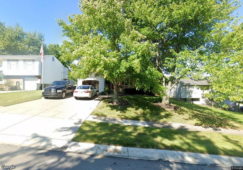
4227 Delryan Dr Cincinnati, OH 45238
Delshire NeighborhoodEstimated Value: $239,798 - $255,000
3
Beds
2
Baths
1,704
Sq Ft
$144/Sq Ft
Est. Value
About This Home
This home is located at 4227 Delryan Dr, Cincinnati, OH 45238 and is currently estimated at $245,950, approximately $144 per square foot. 4227 Delryan Dr is a home located in Hamilton County with nearby schools including Delshire Elementary School, Delhi Middle School, and Oak Hills High School.
Ownership History
Date
Name
Owned For
Owner Type
Purchase Details
Closed on
Aug 6, 2024
Sold by
Walbrown Walter S and Walbrown Deana M
Bought by
4227 Delryan Dr Llc
Current Estimated Value
Purchase Details
Closed on
Aug 23, 2001
Sold by
Phillip Bovard and Phillip Danielle
Bought by
Walbrown Walter S and Walbrown Deana M
Home Financials for this Owner
Home Financials are based on the most recent Mortgage that was taken out on this home.
Original Mortgage
$118,146
Interest Rate
7.03%
Mortgage Type
FHA
Purchase Details
Closed on
Dec 15, 1997
Sold by
Smyth Robert A and Smyth Mary Lynn
Bought by
Bovard Phillip and Bovard Danielle
Home Financials for this Owner
Home Financials are based on the most recent Mortgage that was taken out on this home.
Original Mortgage
$91,871
Interest Rate
7.36%
Mortgage Type
FHA
Create a Home Valuation Report for This Property
The Home Valuation Report is an in-depth analysis detailing your home's value as well as a comparison with similar homes in the area
Home Values in the Area
Average Home Value in this Area
Purchase History
| Date | Buyer | Sale Price | Title Company |
|---|---|---|---|
| 4227 Delryan Dr Llc | $79,000 | None Listed On Document | |
| 4227 Delryan Dr Llc | $79,000 | None Listed On Document | |
| Walbrown Walter S | $120,000 | First Title Agency Inc | |
| Bovard Phillip | $92,000 | -- |
Source: Public Records
Mortgage History
| Date | Status | Borrower | Loan Amount |
|---|---|---|---|
| Previous Owner | Walbrown Walter S | $118,146 | |
| Previous Owner | Bovard Phillip | $91,871 |
Source: Public Records
Tax History
| Year | Tax Paid | Tax Assessment Tax Assessment Total Assessment is a certain percentage of the fair market value that is determined by local assessors to be the total taxable value of land and additions on the property. | Land | Improvement |
|---|---|---|---|---|
| 2025 | $4,075 | $66,833 | $7,088 | $59,745 |
| 2024 | $3,878 | $66,833 | $7,088 | $59,745 |
| 2023 | $3,959 | $66,833 | $7,088 | $59,745 |
| 2022 | $2,971 | $44,296 | $6,916 | $37,380 |
| 2021 | $2,911 | $44,296 | $6,916 | $37,380 |
| 2020 | $2,882 | $44,296 | $6,916 | $37,380 |
| 2019 | $2,629 | $36,309 | $5,670 | $30,639 |
| 2018 | $2,632 | $36,309 | $5,670 | $30,639 |
| 2017 | $2,376 | $36,309 | $5,670 | $30,639 |
| 2016 | $2,610 | $39,970 | $6,482 | $33,488 |
| 2015 | $2,613 | $39,970 | $6,482 | $33,488 |
| 2014 | $2,616 | $39,970 | $6,482 | $33,488 |
| 2013 | $2,513 | $40,786 | $6,615 | $34,171 |
Source: Public Records
Map
Nearby Homes
- 4271 Champdale Ln
- 4351 Mount Alverno Rd
- 4392 Champdale Ln
- 4457 Delhi Rd
- 3889 Hillside Ave
- 4635 Mayhew Ave
- 342 Lilienthal St
- 3864 River Rd
- 517 Trenton Ave
- 412 Roebling Rd
- 408 Roebling Rd
- 521 Roebling Rd
- 4269 Skylark Dr
- 543 Virgil Rd
- 3738 Hillside Ave
- 1052 Delhi Ave
- 3744 Hillside Ave
- 582 Trenton Ave
- 581 Trenton Ave
- 583 Trenton Ave
- 4223 Delryan Dr
- 4239 Delryan Dr
- 4247 Delryan Dr
- 4256 Boyne Ct
- 4217 Delryan Dr
- 4251 Delryan Dr
- 4228 Delryan Dr
- 4262 Boyne Ct
- 5254 Delryan Dr
- 4224 Delryan Dr
- 4232 Delryan Dr
- 4220 Delryan Dr
- 4255 Delryan Dr
- 306 Rydel Dr
- 4240 Delryan Dr
- 4236 Delryan Dr
- 4268 Boyne Ct
- 4216 Delryan Dr
- 4250 Delryan Dr
- 4263 Delryan Dr
Your Personal Tour Guide
Ask me questions while you tour the home.