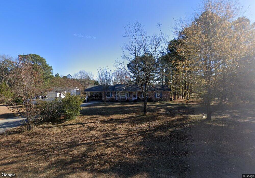
4228 Lassiter Rd Wake Forest, NC 27587
Estimated Value: $292,198 - $375,000
3
Beds
2
Baths
1,359
Sq Ft
$247/Sq Ft
Est. Value
About This Home
This home is located at 4228 Lassiter Rd, Wake Forest, NC 27587 and is currently estimated at $335,050, approximately $246 per square foot. 4228 Lassiter Rd is a home located in Wake County with nearby schools including Rolesville Elementary School, Rolesville Middle School, and Rolesville High School.
Ownership History
Date
Name
Owned For
Owner Type
Purchase Details
Closed on
Sep 23, 2015
Sold by
Arthur Donna S and Arthur Michael Jayson
Bought by
Setta Patricia
Current Estimated Value
Home Financials for this Owner
Home Financials are based on the most recent Mortgage that was taken out on this home.
Original Mortgage
$75,000
Outstanding Balance
$58,847
Interest Rate
3.88%
Mortgage Type
New Conventional
Estimated Equity
$276,203
Purchase Details
Closed on
Jun 11, 2007
Sold by
Lassiter Road Partners Llc
Bought by
Sumner Construction Inc
Purchase Details
Closed on
Dec 29, 2005
Sold by
Arthur Donna S
Bought by
Lassiter Road Partners Llc
Purchase Details
Closed on
Dec 17, 2002
Sold by
Carter Dewitt Odonnell and Carter Selma T
Bought by
The Carter Family Trust
Create a Home Valuation Report for This Property
The Home Valuation Report is an in-depth analysis detailing your home's value as well as a comparison with similar homes in the area
Home Values in the Area
Average Home Value in this Area
Purchase History
| Date | Buyer | Sale Price | Title Company |
|---|---|---|---|
| Setta Patricia | $150,000 | Attorney | |
| Sumner Construction Inc | $60,000 | None Available | |
| Lassiter Road Partners Llc | $288,000 | None Available | |
| Arthur Donna S | -- | None Available | |
| The Carter Family Trust | -- | -- |
Source: Public Records
Mortgage History
| Date | Status | Borrower | Loan Amount |
|---|---|---|---|
| Open | Setta Patricia | $75,000 |
Source: Public Records
Tax History Compared to Growth
Tax History
| Year | Tax Paid | Tax Assessment Tax Assessment Total Assessment is a certain percentage of the fair market value that is determined by local assessors to be the total taxable value of land and additions on the property. | Land | Improvement |
|---|---|---|---|---|
| 2025 | $1,496 | $230,771 | $77,013 | $153,758 |
| 2024 | $1,453 | $230,771 | $77,013 | $153,758 |
| 2023 | $1,381 | $174,589 | $73,128 | $101,461 |
| 2022 | $1,281 | $174,589 | $73,128 | $101,461 |
| 2021 | $1,247 | $174,589 | $73,128 | $101,461 |
| 2020 | $1,226 | $174,589 | $73,128 | $101,461 |
| 2019 | $1,208 | $145,450 | $64,328 | $81,122 |
| 2018 | $1,111 | $145,450 | $64,328 | $81,122 |
| 2017 | $1,054 | $145,450 | $64,328 | $81,122 |
| 2016 | $1,033 | $145,450 | $64,328 | $81,122 |
| 2015 | $1,232 | $174,556 | $81,840 | $92,716 |
| 2014 | $1,169 | $174,556 | $81,840 | $92,716 |
Source: Public Records
Map
Nearby Homes
- 7616 Mitchell Mill Rd
- 7612 Mitchell Mill Rd
- 6521 Sunset Manor Dr
- 6509 Sunset Manor Dr
- 4621 N Fork Dr
- 3216 Quarry Rd
- Wylie Plan at Kalas Falls
- Norman Plan at Kalas Falls
- Jordan Plan at Kalas Falls
- Hampshire Plan at Kalas Falls
- Hartwell Plan at Kalas Falls
- Summit Plan at Kalas Falls
- Fleetwood Plan at Kalas Falls
- 716 Compeer Way Unit 25
- 520 Contempo Ct Unit 36
- 717 Compeer Way Unit 34
- 504 Contempo Ct Unit 40
- 500 Contempo Ct Unit 41
- 553 Contempo Ct Unit 7
- 6200 Emily Ln
- 7105 Aventon Glen Dr
- 4225 Lassiter Rd
- 7113 Aventon Glen Dr
- 4217 Lassiter Rd
- 7104 Aventon Glen Dr Unit LT16
- 7104 Aventon Glen Dr
- 7117 Aventon Glen Dr
- 7112 Aventon Glen Dr Unit lt 15
- 4209 Lassiter Rd
- 7121 Aventon Glen Dr
- 7120 Aventon Glen Dr
- 7125 Aventon Glen Dr
- 7125 Aventon Glen Dr Unit Lt 5
- Lot 5 Aventon Glen Dr
- lot 7 Aventon Glen Dr
- 4201 Lassiter Rd
- 7129 Aventon Glen Dr
- 7129 Aventon Glen Dr Unit lt 6
- 4204 Lassiter Rd
- 7128 Aventon Glen Dr