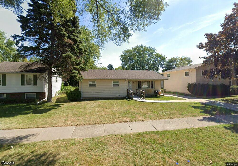
423 N Frolic Ave Waukegan, IL 60085
West Waukegan NeighborhoodEstimated Value: $257,000 - $293,000
3
Beds
1
Bath
1,324
Sq Ft
$210/Sq Ft
Est. Value
About This Home
This home is located at 423 N Frolic Ave, Waukegan, IL 60085 and is currently estimated at $278,228, approximately $210 per square foot. 423 N Frolic Ave is a home located in Lake County with nearby schools including Whittier Elementary School, Robert E. Abbott Middle School, and Waukegan High School.
Create a Home Valuation Report for This Property
The Home Valuation Report is an in-depth analysis detailing your home's value as well as a comparison with similar homes in the area
Home Values in the Area
Average Home Value in this Area
Tax History Compared to Growth
Tax History
| Year | Tax Paid | Tax Assessment Tax Assessment Total Assessment is a certain percentage of the fair market value that is determined by local assessors to be the total taxable value of land and additions on the property. | Land | Improvement |
|---|---|---|---|---|
| 2024 | $883 | $76,662 | $12,731 | $63,931 |
| 2023 | $1,383 | $68,635 | $11,398 | $57,237 |
| 2022 | $1,383 | $63,724 | $10,501 | $53,223 |
| 2021 | $4,536 | $54,505 | $8,971 | $45,534 |
| 2020 | $1,406 | $50,778 | $8,358 | $42,420 |
| 2019 | $1,524 | $46,530 | $7,659 | $38,871 |
| 2018 | $1,705 | $42,711 | $9,853 | $32,858 |
| 2017 | $1,764 | $37,787 | $8,717 | $29,070 |
| 2016 | $1,916 | $32,836 | $7,575 | $25,261 |
| 2015 | $2,095 | $29,389 | $6,780 | $22,609 |
| 2014 | $2,100 | $25,401 | $7,284 | $18,117 |
| 2012 | $3,757 | $27,519 | $7,891 | $19,628 |
Source: Public Records
Map
Nearby Homes
- 102 Baldwin Ave
- 0 Brookside Ave
- 621 N Austin Ave
- 34887 N Austin Ave
- 603 N Austin Ave
- 24 Washington Terrace
- 3170 W Monroe St Unit 309
- 12698 W Grandview Ave
- 12716 W Grandview Ave
- 615 Tiffany Dr
- 2115 Lydia St
- 3210 W Grandview Ave
- 525 Lawrence Ave
- 3482 Ellis Ave
- 1213 Grand Ave
- 2813 Theresa Ave
- 35400 N Green Bay Rd
- 2726 W Hidden Glen Dr
- 963 Belle Plaine Ave
- 3409 Glen Flora Ave
- 429 N Frolic Ave
- 419 N Frolic Ave
- 409 N Frolic Ave
- 433 N Frolic Ave
- 422 Baldwin Ave
- 418 Baldwin Ave
- 424 Baldwin Ave
- 414 Baldwin Ave
- 405 N Frolic Ave
- 2900 Carriage Ln
- 428 Baldwin Ave
- 2847 Hyde Park Ave
- 2901 Carriage Ln
- 446 N Frolic Ave
- 410 Baldwin Ave
- 410 N Frolic Ave
- 450 N Frolic Ave
- 2825 Hyde Park Ave
- 2830 Brookside Ave
- 403 N Frolic Ave