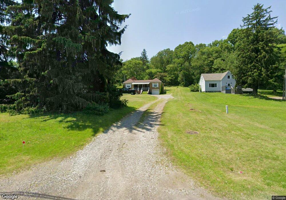
423 State Route 217 Latrobe, PA 15650
Estimated Value: $74,510 - $263,000
--
Bed
--
Bath
1,228
Sq Ft
$138/Sq Ft
Est. Value
About This Home
This home is located at 423 State Route 217, Latrobe, PA 15650 and is currently estimated at $169,878, approximately $138 per square foot. 423 State Route 217 is a home located in Westmoreland County with nearby schools including Grandview Elementary School, Derry Area Middle School, and Derry Area Senior High School.
Ownership History
Date
Name
Owned For
Owner Type
Purchase Details
Closed on
Jan 16, 2008
Sold by
Burns Joseph E and Burns Dolores
Bought by
Mase Sharon L and Mase Ronald A
Current Estimated Value
Home Financials for this Owner
Home Financials are based on the most recent Mortgage that was taken out on this home.
Original Mortgage
$93,000
Outstanding Balance
$58,734
Interest Rate
6.17%
Mortgage Type
Purchase Money Mortgage
Estimated Equity
$111,144
Create a Home Valuation Report for This Property
The Home Valuation Report is an in-depth analysis detailing your home's value as well as a comparison with similar homes in the area
Home Values in the Area
Average Home Value in this Area
Purchase History
| Date | Buyer | Sale Price | Title Company |
|---|---|---|---|
| Mase Sharon L | $85,000 | None Available |
Source: Public Records
Mortgage History
| Date | Status | Borrower | Loan Amount |
|---|---|---|---|
| Open | Mase Sharon L | $93,000 |
Source: Public Records
Tax History Compared to Growth
Tax History
| Year | Tax Paid | Tax Assessment Tax Assessment Total Assessment is a certain percentage of the fair market value that is determined by local assessors to be the total taxable value of land and additions on the property. | Land | Improvement |
|---|---|---|---|---|
| 2025 | $1,780 | $14,320 | $2,540 | $11,780 |
| 2024 | $1,780 | $14,320 | $2,540 | $11,780 |
| 2023 | $1,680 | $14,320 | $2,540 | $11,780 |
| 2022 | $1,665 | $14,320 | $2,540 | $11,780 |
| 2021 | $1,665 | $14,320 | $2,540 | $11,780 |
| 2020 | $1,637 | $14,320 | $2,540 | $11,780 |
| 2019 | $1,601 | $14,320 | $2,540 | $11,780 |
| 2018 | $1,529 | $14,320 | $2,540 | $11,780 |
| 2017 | $1,489 | $14,320 | $2,540 | $11,780 |
| 2016 | $1,425 | $14,320 | $2,540 | $11,780 |
| 2015 | $1,425 | $14,320 | $2,540 | $11,780 |
| 2014 | $1,425 | $14,320 | $2,540 | $11,780 |
Source: Public Records
Map
Nearby Homes
- 510 Pennsylvania 217
- 515 Sunview Cir
- 498 Sunview Cir
- 5184 State Route 982
- 1224 High St
- 219 10th St
- 211 10th St
- 408 Highview St
- 147 N Valley St
- 4974 State Route 982
- 228 Gazebo Rd
- 913 W 1st Ave
- 33 Brinker St
- 332 Richmond St
- 213 Greenfield Rd
- 0 Hillview Ave
- 513 Jennie Ln
- 707 Victoria Way
- 793 Victoria Way
- 715 Victoria Way
- 427 State Route 217
- 419 State Route 217
- 415 State Route 217
- 420 State Route 217
- 409 State Route 217
- 416 State Route 217
- 411 State Route 217
- 437 State Route 217
- 436 State Route 217
- 428 State Route 217
- 405 Pennsylvania 217
- 441 State Route 217
- 405 State Route 217
- 406 State Route 217 Unit B
- 449 State Route 217
- 438 State Route 217
- 418 State Route 217
- 103 Chestnut Ridge Rd
- 430 State Route 217
- 444 State Route 217