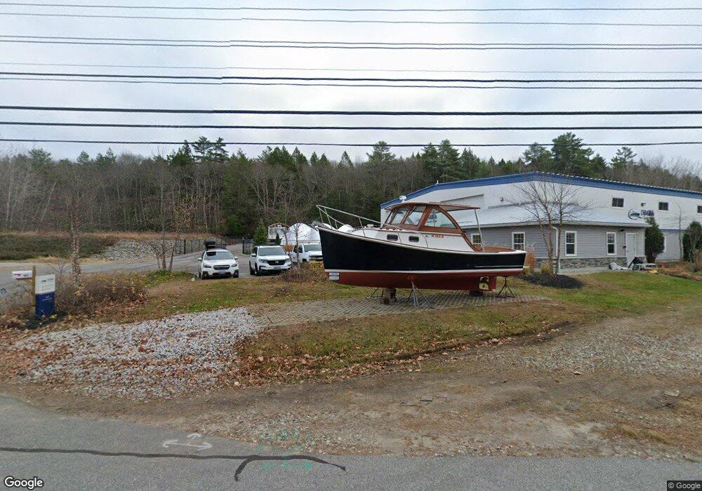
423 Us Route 1 Freeport, ME 04032
2
Beds
1
Bath
12,688
Sq Ft
3.3
Acres
About This Home
This home is located at 423 Us Route 1, Freeport, ME 04032. 423 Us Route 1 is a home located in Cumberland County with nearby schools including Morse Street School, Mast Landing School, and Freeport Middle School.
Ownership History
Date
Name
Owned For
Owner Type
Purchase Details
Closed on
Oct 12, 2005
Sold by
Boats Llc
Bought by
Tiger Holdings Llc
Home Financials for this Owner
Home Financials are based on the most recent Mortgage that was taken out on this home.
Original Mortgage
$448,000
Interest Rate
5.78%
Mortgage Type
Commercial
Purchase Details
Closed on
Apr 8, 2005
Sold by
Turner Frederick W
Bought by
Tiger Hill Llc
Create a Home Valuation Report for This Property
The Home Valuation Report is an in-depth analysis detailing your home's value as well as a comparison with similar homes in the area
Home Values in the Area
Average Home Value in this Area
Purchase History
| Date | Buyer | Sale Price | Title Company |
|---|---|---|---|
| Tiger Holdings Llc | -- | -- | |
| Tiger Hill Llc | -- | -- |
Source: Public Records
Mortgage History
| Date | Status | Borrower | Loan Amount |
|---|---|---|---|
| Closed | Tiger Holdings Llc | $448,000 |
Source: Public Records
Tax History Compared to Growth
Tax History
| Year | Tax Paid | Tax Assessment Tax Assessment Total Assessment is a certain percentage of the fair market value that is determined by local assessors to be the total taxable value of land and additions on the property. | Land | Improvement |
|---|---|---|---|---|
| 2024 | $17,204 | $1,288,700 | $433,000 | $855,700 |
| 2023 | $17,709 | $1,287,900 | $432,200 | $855,700 |
| 2022 | $17,580 | $1,287,900 | $432,200 | $855,700 |
| 2021 | $17,193 | $1,287,900 | $432,200 | $855,700 |
| 2020 | $16,807 | $1,200,500 | $400,200 | $800,300 |
| 2019 | $17,896 | $1,251,500 | $410,600 | $840,900 |
| 2018 | $15,950 | $1,059,800 | $410,200 | $649,600 |
| 2017 | $5,502 | $368,000 | $309,100 | $58,900 |
| 2016 | $5,110 | $323,400 | $268,700 | $54,700 |
| 2015 | $4,929 | $293,400 | $244,300 | $49,100 |
| 2014 | $4,604 | $291,400 | $244,300 | $47,100 |
| 2013 | $4,627 | $291,900 | $243,500 | $48,400 |
Source: Public Records
Map
Nearby Homes
- 26 Harvest Ridge Rd Unit 24
- 31 Sequoia Dr
- 15 Sequoia Dr
- 1612 U S Route 1
- 15 Percy St
- 10 Durham Rd
- 241 Bluff Rd Unit 4
- 304 Pownal Rd
- 203 Bluff Rd Unit 13
- 212 Main St
- 393 E Main St
- 42 Durham Rd
- 11 Orchard Hill Rd
- 247 Ledge Rd
- 20 Blueberry Cove Rd Unit 20
- 149 E Main St Unit 7
- 62 Blueberry Cove Rd Unit 62
- 52 Blueberry Cove Rd Unit 52
- 71 Merganser Way
- 162 Merrill Rd