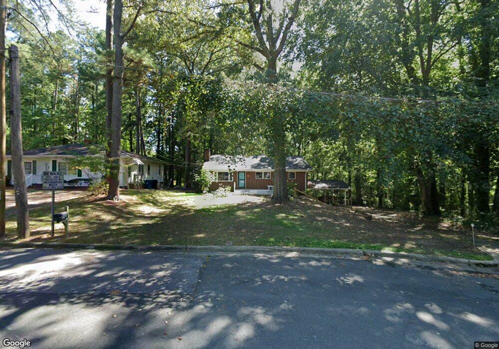
423 W Maynard Ave Durham, NC 27704
Northgate Park NeighborhoodEstimated Value: $395,000 - $435,146
3
Beds
2
Baths
2,246
Sq Ft
$185/Sq Ft
Est. Value
About This Home
This home is located at 423 W Maynard Ave, Durham, NC 27704 and is currently estimated at $416,287, approximately $185 per square foot. 423 W Maynard Ave is a home located in Durham County with nearby schools including W.G. Pearson Elementary School, Club Boulevard Elementary School, and Brogden Middle.
Ownership History
Date
Name
Owned For
Owner Type
Purchase Details
Closed on
Apr 18, 2001
Sold by
Marshall Julia E
Bought by
Kelly Karen A and Alton Kim G
Current Estimated Value
Home Financials for this Owner
Home Financials are based on the most recent Mortgage that was taken out on this home.
Original Mortgage
$99,600
Outstanding Balance
$36,634
Interest Rate
6.99%
Estimated Equity
$379,653
Create a Home Valuation Report for This Property
The Home Valuation Report is an in-depth analysis detailing your home's value as well as a comparison with similar homes in the area
Home Values in the Area
Average Home Value in this Area
Purchase History
| Date | Buyer | Sale Price | Title Company |
|---|---|---|---|
| Kelly Karen A | $125,000 | -- |
Source: Public Records
Mortgage History
| Date | Status | Borrower | Loan Amount |
|---|---|---|---|
| Open | Kelly Karen A | $99,600 | |
| Closed | Kelly Karen A | $12,450 |
Source: Public Records
Tax History
| Year | Tax Paid | Tax Assessment Tax Assessment Total Assessment is a certain percentage of the fair market value that is determined by local assessors to be the total taxable value of land and additions on the property. | Land | Improvement |
|---|---|---|---|---|
| 2025 | $4,082 | $411,820 | $217,620 | $194,200 |
| 2024 | $3,688 | $264,385 | $18,115 | $246,270 |
| 2023 | $3,463 | $264,385 | $18,115 | $246,270 |
| 2022 | $3,384 | $264,385 | $18,115 | $246,270 |
| 2021 | $3,368 | $264,385 | $18,115 | $246,270 |
| 2020 | $3,289 | $264,385 | $18,115 | $246,270 |
| 2019 | $3,277 | $263,421 | $18,115 | $245,306 |
| 2018 | $2,536 | $186,931 | $31,353 | $155,578 |
| 2017 | $2,517 | $186,931 | $31,353 | $155,578 |
| 2016 | $2,403 | $184,670 | $29,092 | $155,578 |
| 2015 | $2,305 | $166,519 | $30,686 | $135,833 |
| 2014 | $2,305 | $166,519 | $30,686 | $135,833 |
Source: Public Records
Map
Nearby Homes
- 410 W Maynard Ave
- 312 Greenwood Dr
- 217 Gresham Ave
- 1902 Ruffin St
- 3011 Shenandoah Ave
- 809 Leon St
- 621 Ruby St
- 906 W Maynard Ave
- 2504 Shenandoah Ave
- 2505 N Duke St
- 404 Chamberlin Ave Unit B
- 910 Ruby St
- 915 E Hudson Ave
- 2707 N Roxboro St
- 209 E Lavender Ave
- 304 E Hammond St
- 611 E Lavender Ave
- 1506 Dexter St
- 2503 Lednum St
- 415 E Lavender Ave
- 421 W Maynard Ave
- 419 W Maynard Ave
- 2803 Herring Blvd
- 418 W Maynard Ave
- 415 W Maynard Ave
- 2805 Herring Blvd
- 418 Gresham Ave
- 416 W Maynard Ave
- 2807 Herring Blvd
- 413 W Maynard Ave
- 414 Gresham Ave
- 414 W Maynard Ave
- 2809 Herring Blvd
- 409 W Maynard Ave
- 412 Gresham Ave
- 412 W Maynard Ave
- 2810 Herring Blvd
- 407 W Maynard Ave
- 2811 Herring Blvd
- 410 Gresham Ave
Your Personal Tour Guide
Ask me questions while you tour the home.