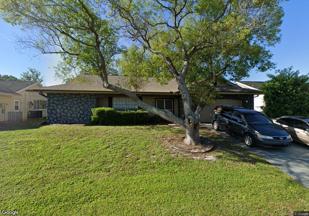
4230 Sail Dr New Port Richey, FL 34652
Estimated Value: $240,000 - $284,000
3
Beds
2
Baths
1,519
Sq Ft
$170/Sq Ft
Est. Value
About This Home
This home is located at 4230 Sail Dr, New Port Richey, FL 34652 and is currently estimated at $258,889, approximately $170 per square foot. 4230 Sail Dr is a home located in Pasco County with nearby schools including Mittye P. Locke Elementary School, Gulf Trace Elementary School, and Paul R. Smith Middle School.
Ownership History
Date
Name
Owned For
Owner Type
Purchase Details
Closed on
Nov 30, 2006
Sold by
Germani Sue Ann
Bought by
Skillman Robert C
Current Estimated Value
Home Financials for this Owner
Home Financials are based on the most recent Mortgage that was taken out on this home.
Original Mortgage
$125,650
Outstanding Balance
$74,948
Interest Rate
6.36%
Mortgage Type
Purchase Money Mortgage
Estimated Equity
$183,941
Purchase Details
Closed on
Jun 23, 2006
Sold by
Claspell Prudy I
Bought by
Sneden Sue Ann and Germani Sue Ann
Create a Home Valuation Report for This Property
The Home Valuation Report is an in-depth analysis detailing your home's value as well as a comparison with similar homes in the area
Home Values in the Area
Average Home Value in this Area
Purchase History
| Date | Buyer | Sale Price | Title Company |
|---|---|---|---|
| Skillman Robert C | $148,000 | Security First Title Partner | |
| Sneden Sue Ann | $179,000 | Attorney |
Source: Public Records
Mortgage History
| Date | Status | Borrower | Loan Amount |
|---|---|---|---|
| Open | Skillman Robert C | $125,650 |
Source: Public Records
Tax History Compared to Growth
Tax History
| Year | Tax Paid | Tax Assessment Tax Assessment Total Assessment is a certain percentage of the fair market value that is determined by local assessors to be the total taxable value of land and additions on the property. | Land | Improvement |
|---|---|---|---|---|
| 2025 | $724 | $62,420 | -- | -- |
| 2024 | $724 | $60,670 | -- | -- |
| 2023 | $705 | $58,910 | $0 | $0 |
| 2022 | $647 | $57,200 | $0 | $0 |
| 2021 | $639 | $55,540 | $14,147 | $41,393 |
| 2020 | $628 | $54,780 | $12,884 | $41,896 |
| 2019 | $627 | $53,550 | $0 | $0 |
| 2018 | $616 | $52,556 | $0 | $0 |
| 2017 | $617 | $52,556 | $0 | $0 |
| 2016 | $576 | $50,416 | $0 | $0 |
| 2015 | $582 | $50,066 | $0 | $0 |
| 2014 | $559 | $53,464 | $8,984 | $44,480 |
Source: Public Records
Map
Nearby Homes
- 4245 Crestfield Ave
- 3845 Edgemont Dr
- 3902 Glissade Dr
- 4142 Crestfield Ave
- 3704 Oakhurst Dr
- 3847 Lighthouse Way
- 4424 Pelorus Dr
- 4423 Pelorus Dr Unit B
- 3862 Lighthouse Way
- 4025 Sail Dr
- 3709 Kimberly Oaks Dr
- 4243 Stratfield Dr
- 4209 Stratfield Dr
- 4202 Craftsbury Dr
- 4016 Grayton Dr
- 3832 Lanyard Ct
- 3838 Lanyard Ct Unit B
- 4111 Stratfield Dr
- 4446 Chart Ct
- 4111 Moog Rd
- 4236 Sail Dr
- 4224 Sail Dr
- 4235 Pinefield Ave
- 4225 Pinefield Ave
- 4216 Sail Dr
- 4243 Pinefield Ave
- 4219 Pinefield Ave
- 4233 Sail Dr
- 4250 Sail Dr
- 4213 Pinefield Ave
- 4251 Pinefield Ave
- 4208 Sail Dr
- 3706 Peconic Way
- 4251 Sail Dr
- 4243 Sail Dr
- 4207 Pinefield Ave
- 4232 Pinefield Ave
- 4300 Sail Dr
- 4238 Pinefield Ave
- 4202 Sail Dr