Estimated Value: $333,000 - $382,000
4
Beds
3
Baths
1,986
Sq Ft
$183/Sq Ft
Est. Value
About This Home
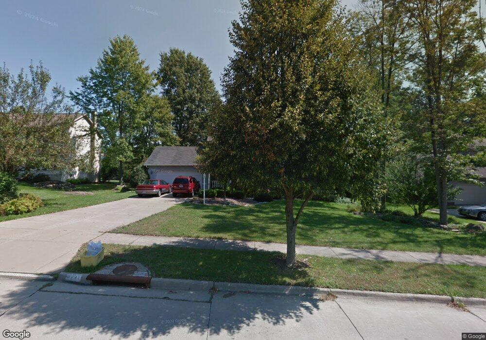
This home is located at 4231 Bunker Ln, Stow, OH 44224 and is currently estimated at $364,319, approximately $183 per square foot. 4231 Bunker Ln is a home located in Summit County with nearby schools including Stow-Munroe Falls High School and Walsh Jesuit High School.
Ownership History
Date
Name
Owned For
Owner Type
Purchase Details
Closed on
Jun 5, 2001
Sold by
Valocik Ronald B and Valocik Nancy J
Bought by
Osborne John C and Osborne Pamala J
Current Estimated Value
Home Financials for this Owner
Home Financials are based on the most recent Mortgage that was taken out on this home.
Original Mortgage
$150,000
Interest Rate
7.18%
Create a Home Valuation Report for This Property
The Home Valuation Report is an in-depth analysis detailing your home's value as well as a comparison with similar homes in the area
Home Values in the Area
Average Home Value in this Area
Purchase History
| Date | Buyer | Sale Price | Title Company |
|---|---|---|---|
| Osborne John C | $195,000 | Silver Oak Title Agency Inc |
Source: Public Records
Mortgage History
| Date | Status | Borrower | Loan Amount |
|---|---|---|---|
| Closed | Osborne John C | $150,000 |
Source: Public Records
Tax History Compared to Growth
Tax History
| Year | Tax Paid | Tax Assessment Tax Assessment Total Assessment is a certain percentage of the fair market value that is determined by local assessors to be the total taxable value of land and additions on the property. | Land | Improvement |
|---|---|---|---|---|
| 2025 | $5,229 | $101,973 | $18,323 | $83,650 |
| 2024 | $5,229 | $101,973 | $18,323 | $83,650 |
| 2023 | $5,229 | $101,973 | $18,323 | $83,650 |
| 2022 | $4,461 | $78,576 | $14,095 | $64,481 |
| 2021 | $3,994 | $78,576 | $14,095 | $64,481 |
| 2020 | $3,926 | $78,580 | $14,100 | $64,480 |
| 2019 | $3,945 | $74,370 | $13,960 | $60,410 |
| 2018 | $3,881 | $74,370 | $13,960 | $60,410 |
| 2017 | $3,497 | $74,370 | $13,960 | $60,410 |
| 2016 | $3,599 | $66,140 | $13,960 | $52,180 |
| 2015 | $3,497 | $66,140 | $13,960 | $52,180 |
| 2014 | $3,500 | $66,140 | $13,960 | $52,180 |
| 2013 | $3,488 | $66,310 | $13,960 | $52,350 |
Source: Public Records
Map
Nearby Homes
- 2831 Saybrooke Blvd
- 2908 Wexford Blvd
- 2714 Wexford Blvd
- 4444 Hickory Trail
- 4445 Kenneth Trail
- 3788 Woodbury Oval Unit 60
- 4556 Fishcreek Rd
- 3860 Lake Run Blvd
- 4638 Dresher Trail
- 4078 Pardee Rd
- 4131 Burton Dr
- 4155 Burton Dr
- 0 Vira Rd
- 3801 Baird Rd
- 4910 Independence Cir Unit D
- 4916 Friar Rd Unit B
- 76 Wanda Ct
- 1302 Carol Dr
- 3711 Vira Rd
- 2260 E Gilwood Dr
- 4227 Bunker Ln
- 4239 Bunker Ln
- 2870 Lockwood Cir
- 4249 Bunker Ln
- 2871 Lockwood Cir
- 2880 Saybrooke Blvd
- 2888 Saybrooke Blvd
- 4248 Bunker Ln
- 2896 Saybrooke Blvd
- 4218 Quail Hollow Cir
- 2873 Laurel Woods Blvd
- 4226 Quail Hollow Cir
- 2858 Saybrooke Blvd
- 2856 Lockwood Cir
- 2904 Saybrooke Blvd
- 2857 Lockwood Cir
- 2843 Laurel Woods Blvd
- 2877 Saybrooke Blvd
- 2850 Saybrooke Blvd
- 4238 Quail Hollow Cir