4231 N 69th Dr Unit 1294 Phoenix, AZ 85033
Estimated Value: $172,455 - $241,000
2
Beds
2
Baths
1,006
Sq Ft
$201/Sq Ft
Est. Value
About This Home
This home is located at 4231 N 69th Dr Unit 1294, Phoenix, AZ 85033 and is currently estimated at $201,864, approximately $200 per square foot. 4231 N 69th Dr Unit 1294 is a home located in Maricopa County with nearby schools including Heatherbrae School, Desert Sands Middle School, and Trevor Browne High School.
Ownership History
Date
Name
Owned For
Owner Type
Purchase Details
Closed on
Jan 15, 2010
Sold by
Fannie Mae
Bought by
Asencion Jose
Current Estimated Value
Purchase Details
Closed on
Oct 22, 2009
Sold by
Monroy Manuelito and Monroy Angela
Bought by
Federal National Mortgage Association
Purchase Details
Closed on
May 3, 1995
Sold by
Partners In Action Inc
Bought by
Monroy Manuelito and Rice Angela
Home Financials for this Owner
Home Financials are based on the most recent Mortgage that was taken out on this home.
Original Mortgage
$53,885
Interest Rate
8.32%
Mortgage Type
FHA
Create a Home Valuation Report for This Property
The Home Valuation Report is an in-depth analysis detailing your home's value as well as a comparison with similar homes in the area
Home Values in the Area
Average Home Value in this Area
Purchase History
| Date | Buyer | Sale Price | Title Company |
|---|---|---|---|
| Asencion Jose | $18,000 | Stewart Title & Trust Of Pho | |
| Federal National Mortgage Association | $77,711 | First American Title | |
| Monroy Manuelito | $53,900 | Fidelity Title |
Source: Public Records
Mortgage History
| Date | Status | Borrower | Loan Amount |
|---|---|---|---|
| Previous Owner | Monroy Manuelito | $53,885 |
Source: Public Records
Tax History Compared to Growth
Tax History
| Year | Tax Paid | Tax Assessment Tax Assessment Total Assessment is a certain percentage of the fair market value that is determined by local assessors to be the total taxable value of land and additions on the property. | Land | Improvement |
|---|---|---|---|---|
| 2025 | $428 | $2,446 | -- | -- |
| 2024 | $426 | $2,329 | -- | -- |
| 2023 | $426 | $10,380 | $2,070 | $8,310 |
| 2022 | $401 | $7,780 | $1,550 | $6,230 |
| 2021 | $406 | $7,000 | $1,400 | $5,600 |
| 2020 | $385 | $5,980 | $1,190 | $4,790 |
| 2019 | $368 | $4,920 | $980 | $3,940 |
| 2018 | $383 | $3,350 | $670 | $2,680 |
| 2017 | $370 | $2,850 | $570 | $2,280 |
| 2016 | $355 | $2,650 | $530 | $2,120 |
| 2015 | $331 | $2,280 | $450 | $1,830 |
Source: Public Records
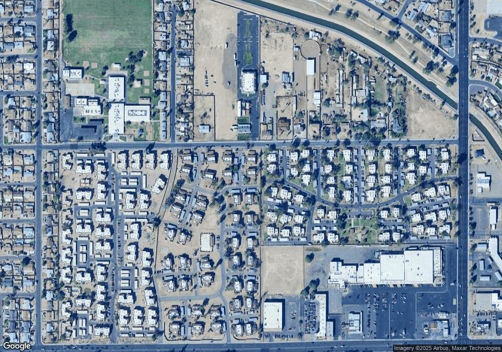
Map
Nearby Homes
- 4252 N 68th Ln Unit 512
- 6842 W Devonshire Ave Unit 265
- 6902 W Devonshire Ave Unit 1280
- 6841 W Devonshire Ave
- 4242 N 69th Ln Unit 1333
- 6806 W Devonshire Ave
- 4268 N 68th Ave Unit 447
- 6866 W Indian School Rd Unit 1
- 4233 N 68th Ave Unit 430
- 6756 W Devonshire Ave Unit 362
- 7125 W Heatherbrae Dr
- 6727 W Roma Ave
- 4316 N 72nd Ave
- 7150 W Montecito Ave
- 4109 N 72nd Dr
- 6530 W Turney Ave
- 4535 N 71st Ln
- 4641 N 71st Ave
- 7321 W Devonshire Ave
- 4545 N 67th Ave Unit 1211
- 4231 N 69th Dr Unit 1296
- 4231 N 69th Dr Unit 1295
- 4231 N 69th Dr Unit 1293
- 6901 W Mackenzie Dr Unit 1286
- 6901 W Mackenzie Dr Unit 1283
- 6901 W Mackenzie Dr Unit 1285
- 6901 W Mackenzie Dr Unit 1284
- 6911 W Mackenzie Dr Unit 1291
- 6911 W Mackenzie Dr Unit 1290
- 6911 W Mackenzie Dr Unit 1289
- 6911 W Mackenzie Dr Unit 1292
- 6911 W Mackenzie Dr
- 4232 N 69th Dr Unit 1309
- 4232 N 69th Dr Unit 1312
- 4232 N 69th Dr Unit 1310
- 4232 N 69th Dr Unit 1308
- 4232 N 69th Dr Unit 1311
- 6858 W Devonshire Ave Unit 258
- 4254 N 68th Ln Unit 513
- 6856 W Devonshire Ave Unit 258