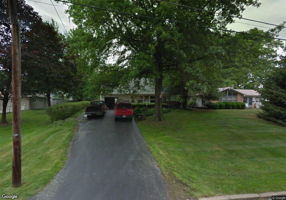
4232 Mill Trace Rd Youngstown, OH 44511
Estimated Value: $152,967 - $180,000
3
Beds
1
Bath
884
Sq Ft
$186/Sq Ft
Est. Value
About This Home
This home is located at 4232 Mill Trace Rd, Youngstown, OH 44511 and is currently estimated at $164,242, approximately $185 per square foot. 4232 Mill Trace Rd is a home located in Mahoning County with nearby schools including West Boulevard Elementary School, Boardman Center Middle School, and Boardman High School.
Ownership History
Date
Name
Owned For
Owner Type
Purchase Details
Closed on
Jun 3, 2022
Sold by
Elliott Wayne G
Bought by
Elliott Wayne R
Current Estimated Value
Purchase Details
Closed on
May 18, 2022
Sold by
Elliott Wayne R
Bought by
Wayne And Suzanne Elliott Family Trust and Elliott
Purchase Details
Closed on
Jun 3, 2010
Sold by
Elliott Wayne G
Bought by
Elliott Wayne G and Elliott Wayne R
Create a Home Valuation Report for This Property
The Home Valuation Report is an in-depth analysis detailing your home's value as well as a comparison with similar homes in the area
Home Values in the Area
Average Home Value in this Area
Purchase History
| Date | Buyer | Sale Price | Title Company |
|---|---|---|---|
| Elliott Wayne R | -- | -- | |
| Wayne And Suzanne Elliott Family Trust | -- | None Listed On Document | |
| Elliott Wayne G | -- | Attorney |
Source: Public Records
Tax History Compared to Growth
Tax History
| Year | Tax Paid | Tax Assessment Tax Assessment Total Assessment is a certain percentage of the fair market value that is determined by local assessors to be the total taxable value of land and additions on the property. | Land | Improvement |
|---|---|---|---|---|
| 2024 | $2,252 | $43,250 | $5,990 | $37,260 |
| 2023 | $2,204 | $43,250 | $5,990 | $37,260 |
| 2022 | $1,919 | $28,780 | $6,230 | $22,550 |
| 2021 | $1,920 | $28,780 | $6,230 | $22,550 |
| 2020 | $1,930 | $28,780 | $6,230 | $22,550 |
| 2019 | $1,001 | $22,140 | $4,790 | $17,350 |
| 2018 | $852 | $22,140 | $4,790 | $17,350 |
| 2017 | $850 | $22,140 | $4,790 | $17,350 |
| 2016 | $911 | $22,970 | $4,790 | $18,180 |
| 2015 | $893 | $22,970 | $4,790 | $18,180 |
| 2014 | $895 | $22,970 | $4,790 | $18,180 |
| 2013 | $884 | $22,970 | $4,790 | $18,180 |
Source: Public Records
Map
Nearby Homes
- 29 Gillian Ln
- 21.19 acres Truesdale and Lockwood Rd
- 990 Westport Dr
- 950 Donmar Ln
- 3927 Hopkins Rd
- 537 W Glen Dr
- 4042 Baymar Dr
- 4478 Devonshire Dr Unit 1B
- 5200 West Blvd Unit 505
- 2002 Canfield Rd
- 3726 Glenwood Ave
- 2981 Louise Rita Ct
- 2127 Hermosa Dr
- 4225 Stratford Rd
- 272 Shields Rd
- 3296 Cricket Dr
- 5020 Friendship Ave
- 2243 Coleman Dr
- 4141 Windsor Rd
- 4096 Bob o Link Dr
- 4226 Mill Trace Rd
- 4486 Lockwood Blvd
- 4492 Lockwood Blvd
- 4220 Mill Trace Rd
- 4500 Lockwood Blvd
- 4480 Lockwood Blvd
- 4214 Mill Trace Rd
- 4538 Lockwood Blvd
- 4227 Mill Trace Rd
- 4221 Mill Trace Rd
- 4474 Lockwood Blvd
- 4208 Mill Trace Rd
- 506 Pierce Dr
- 4215 Mill Trace Rd
- 4 Mill Trace Rd
- 4209 Mill Trace Rd
- 4202 Mill Trace Rd
- 512 Pierce Dr
- 4485 Lockwood Blvd
- 10 Mill Trace Rd