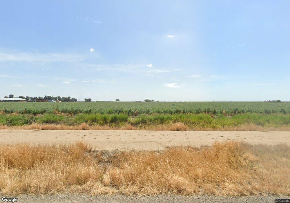
4235 Oak Ave Merced, CA 95341
Estimated Value: $367,000 - $3,166,913
6
Beds
4
Baths
--
Sq Ft
28.7
Acres
About This Home
This home is located at 4235 Oak Ave, Merced, CA 95341 and is currently estimated at $1,766,957. 4235 Oak Ave is a home located in Merced County with nearby schools including McSwain Elementary School and Buhach Colony High School.
Ownership History
Date
Name
Owned For
Owner Type
Purchase Details
Closed on
May 12, 2004
Sold by
Machado Todd A and Machado Rebecca C
Bought by
Oliveira Manuel V and Oliveira Maria B
Current Estimated Value
Home Financials for this Owner
Home Financials are based on the most recent Mortgage that was taken out on this home.
Original Mortgage
$1,175,000
Interest Rate
5.65%
Mortgage Type
Unknown
Purchase Details
Closed on
Jan 12, 2000
Sold by
Machado Todd A and Machado Rebecca C
Bought by
Oliveira Manuel V and Oliveira Maria B
Home Financials for this Owner
Home Financials are based on the most recent Mortgage that was taken out on this home.
Original Mortgage
$556,000
Interest Rate
8.67%
Create a Home Valuation Report for This Property
The Home Valuation Report is an in-depth analysis detailing your home's value as well as a comparison with similar homes in the area
Purchase History
| Date | Buyer | Sale Price | Title Company |
|---|---|---|---|
| Oliveira Manuel V | $688,000 | Transcounty Title Company | |
| Oliveira Manuel V | $625,000 | Chicago Title Co |
Source: Public Records
Mortgage History
| Date | Status | Borrower | Loan Amount |
|---|---|---|---|
| Previous Owner | Oliveira Manuel V | $1,175,000 | |
| Previous Owner | Oliveira Manuel V | $556,000 |
Source: Public Records
Tax History Compared to Growth
Tax History
| Year | Tax Paid | Tax Assessment Tax Assessment Total Assessment is a certain percentage of the fair market value that is determined by local assessors to be the total taxable value of land and additions on the property. | Land | Improvement |
|---|---|---|---|---|
| 2025 | $27,044 | $2,602,332 | $306,141 | $2,296,191 |
| 2024 | $27,044 | $2,616,518 | $300,139 | $2,316,379 |
| 2023 | $26,218 | $2,537,078 | $294,254 | $2,242,824 |
| 2022 | $25,483 | $2,448,340 | $288,485 | $2,159,855 |
| 2021 | $23,799 | $2,258,256 | $261,260 | $1,996,996 |
| 2020 | $22,171 | $2,102,222 | $258,582 | $1,843,640 |
| 2019 | $21,789 | $2,078,690 | $253,512 | $1,825,178 |
Source: Public Records
Map
Nearby Homes
- 5995 W Brooks Rd
- 0 Queen Elizabeth Dr
- 5704 W State Highway 140
- 0 Moran Ave
- 1371 Shady Cove Ave
- 0 Noah Dr
- 965 N Bryant
- 2051 Wardrobe Ave
- 6231 Jake St
- 2590 N Gurr Rd
- 995 Emory Way
- 1220 Fig Ave
- 1821 W 8th St
- 130 Mcgregor St
- 1803 Lopes Ave
- 2484 Sierra Springs Ct
- 2679 Lobo Ave
- 6299 Shelby St
- 2290 Fern St
- 2341 Mesquite Ct
- 4076 W Dickenson Ferry Rd
- 4400 W Dickenson Ferry Rd
- 4336 W Dickenson Ferry Rd
- 4645 Oak Ave
- 4245 Bailey Ave
- 3763 W Dickenson Ferry Rd
- 4429 Bailey Ave
- 3695 W Dickenson Ferry Rd
- 4439 Bailey Ave
- 4055 Bailey Ave
- 4404 Bailey Ave
- 4424 Bailey Ave
- 0 Bailey Ave Unit 16018460
- 0 Bailey Ave Unit MC15196682
- 0 Bailey Ave Unit MC16065325
- 0 Bailey Ave Unit MC17079129
- 0 Bailey Ave Unit 451711
- 0 Bailey Ave Unit 15060100
- 0 Bailey Ave Unit MC19016242
- 0 Bailey Ave Unit 19004232
