4235 Pinehurst Cir Stockton, CA 95219
Brookside NeighborhoodEstimated Value: $704,000 - $763,000
4
Beds
3
Baths
2,390
Sq Ft
$306/Sq Ft
Est. Value
About This Home
This home is located at 4235 Pinehurst Cir, Stockton, CA 95219 and is currently estimated at $730,856, approximately $305 per square foot. 4235 Pinehurst Cir is a home located in San Joaquin County with nearby schools including Brookside, Sierra Middle School, and Lincoln High School.
Ownership History
Date
Name
Owned For
Owner Type
Purchase Details
Closed on
Jul 21, 1997
Sold by
Newman Perry Andre and Newman Andre
Bought by
Bates Denise Ann and Bates Newman F
Current Estimated Value
Purchase Details
Closed on
Jun 21, 1995
Sold by
Grupe Development Associates
Bought by
Newman Frederick H and Newman Sharon M
Home Financials for this Owner
Home Financials are based on the most recent Mortgage that was taken out on this home.
Original Mortgage
$200,000
Interest Rate
7.92%
Create a Home Valuation Report for This Property
The Home Valuation Report is an in-depth analysis detailing your home's value as well as a comparison with similar homes in the area
Home Values in the Area
Average Home Value in this Area
Purchase History
| Date | Buyer | Sale Price | Title Company |
|---|---|---|---|
| Bates Denise Ann | -- | Old Republic Title Company | |
| Newman Frederick H | $279,000 | Chicago Title Company |
Source: Public Records
Mortgage History
| Date | Status | Borrower | Loan Amount |
|---|---|---|---|
| Previous Owner | Newman Frederick H | $200,000 |
Source: Public Records
Tax History Compared to Growth
Tax History
| Year | Tax Paid | Tax Assessment Tax Assessment Total Assessment is a certain percentage of the fair market value that is determined by local assessors to be the total taxable value of land and additions on the property. | Land | Improvement |
|---|---|---|---|---|
| 2025 | $5,657 | $466,901 | $134,357 | $332,544 |
| 2024 | $5,533 | $457,747 | $131,723 | $326,024 |
| 2023 | $5,483 | $448,773 | $129,141 | $319,632 |
| 2022 | $5,132 | $439,974 | $126,609 | $313,365 |
| 2021 | $5,058 | $431,348 | $124,127 | $307,221 |
| 2020 | $5,068 | $426,926 | $122,855 | $304,071 |
| 2019 | $4,983 | $418,556 | $120,447 | $298,109 |
| 2018 | $4,900 | $410,350 | $118,086 | $292,264 |
| 2017 | $4,803 | $402,305 | $115,771 | $286,534 |
| 2016 | $4,748 | $394,418 | $113,502 | $280,916 |
| 2014 | $4,624 | $380,885 | $109,607 | $271,278 |
Source: Public Records
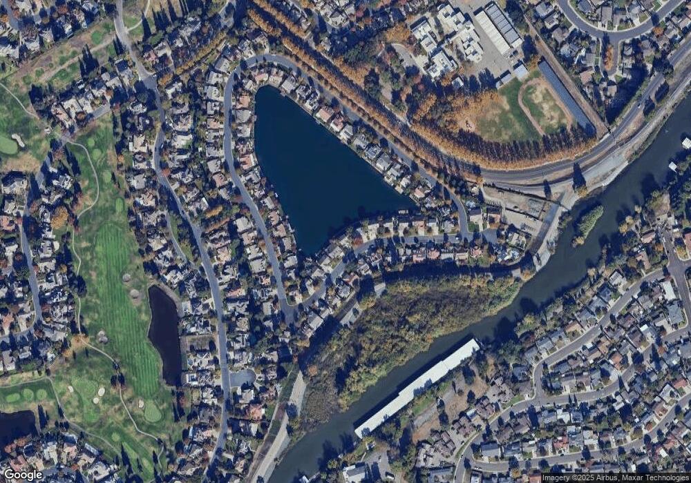
Map
Nearby Homes
- 4231 Pinehurst Cir
- 4224 Pinehurst Cir
- 4240 Pinehurst Cir
- 3225 de Ovan Ave
- 3621 de Ovan Ave
- 4273 Boulder Creek Cir
- 3100 Christina Ave
- 2925 de Ovan Ave
- 4335 Gleneagles Ct
- 4583 Pine Valley Cir
- 2868 Christina Ave
- 3865 Gleneagles Dr
- 4368 Boulder Creek Cir
- 4646 Saint Andrews Dr
- 3836 Delano Ave
- 2755 Inman Ave
- 3663 Saint Andrews Dr Unit 16
- 3653 Saint Andrews Dr Unit 14
- 3743 Saint Andrews Dr
- 5036 Spanish Bay Cir
- 4237 Pinehurst Cir
- 4233 Pinehurst Cir
- 4239 Pinehurst Cir
- 4234 Pinehurst Cir
- 4232 Pinehurst Cir
- 4241 Pinehurst Cir
- 4238 Pinehurst Cir
- 4229 Pinehurst Cir
- 4230 Pinehurst Cir
- 4261 Pinehurst Cir
- 4301 Pinehurst Cir
- 4243 Pinehurst Cir
- 4259 Pinehurst Cir
- 4227 Pinehurst Cir
- 4303 Pinehurst Cir
- 4242 Pinehurst Cir
- 4228 Pinehurst Cir
- 4305 Pinehurst Cir
- 4247 Pinehurst Cir
- 4244 Pinehurst Cir