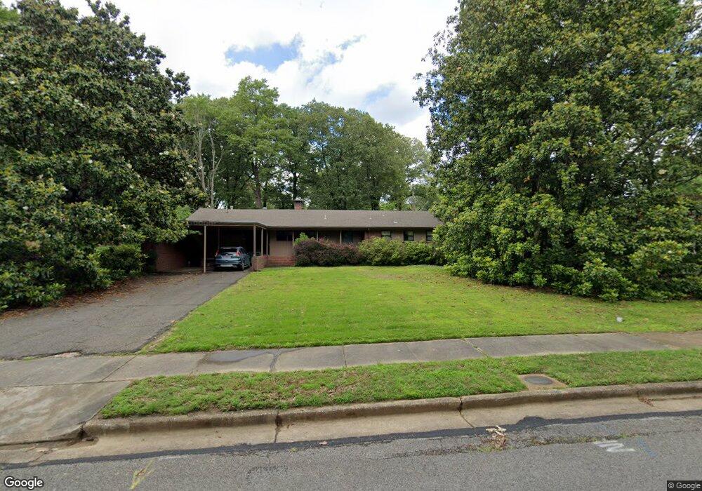
4236 Woodcrest Dr Memphis, TN 38111
East Memphis NeighborhoodEstimated Value: $283,713 - $313,000
3
Beds
2
Baths
2,129
Sq Ft
$140/Sq Ft
Est. Value
About This Home
This home is located at 4236 Woodcrest Dr, Memphis, TN 38111 and is currently estimated at $297,178, approximately $139 per square foot. 4236 Woodcrest Dr is a home located in Shelby County with nearby schools including Sherwood Elementary School, Colonial Middle, and White Station High.
Ownership History
Date
Name
Owned For
Owner Type
Purchase Details
Closed on
Feb 27, 2006
Sold by
Obrien Gere K
Bought by
Frank Edwin G and Frank Rosanne R
Current Estimated Value
Home Financials for this Owner
Home Financials are based on the most recent Mortgage that was taken out on this home.
Original Mortgage
$137,500
Outstanding Balance
$77,111
Interest Rate
6.04%
Mortgage Type
Fannie Mae Freddie Mac
Estimated Equity
$220,067
Create a Home Valuation Report for This Property
The Home Valuation Report is an in-depth analysis detailing your home's value as well as a comparison with similar homes in the area
Home Values in the Area
Average Home Value in this Area
Purchase History
| Date | Buyer | Sale Price | Title Company |
|---|---|---|---|
| Frank Edwin G | $157,500 | Chicago Title Co |
Source: Public Records
Mortgage History
| Date | Status | Borrower | Loan Amount |
|---|---|---|---|
| Open | Frank Edwin G | $137,500 |
Source: Public Records
Tax History
| Year | Tax Paid | Tax Assessment Tax Assessment Total Assessment is a certain percentage of the fair market value that is determined by local assessors to be the total taxable value of land and additions on the property. | Land | Improvement |
|---|---|---|---|---|
| 2025 | $2,192 | $72,225 | $14,300 | $57,925 |
| 2024 | $2,192 | $64,650 | $13,275 | $51,375 |
| 2023 | $3,938 | $64,650 | $13,275 | $51,375 |
| 2022 | $3,938 | $64,650 | $13,275 | $51,375 |
| 2021 | $3,984 | $64,650 | $13,275 | $51,375 |
| 2020 | $3,389 | $46,775 | $11,075 | $35,700 |
| 2019 | $3,389 | $46,775 | $11,075 | $35,700 |
| 2018 | $3,389 | $46,775 | $11,075 | $35,700 |
| 2017 | $1,922 | $46,775 | $11,075 | $35,700 |
| 2016 | $1,772 | $40,550 | $0 | $0 |
| 2014 | $1,772 | $40,550 | $0 | $0 |
Source: Public Records
Map
Nearby Homes
- 4251 Woodcrest Dr
- 1188 Oak Ridge Dr
- 1224 Oak Ridge Dr
- 1218 Merrycrest Dr
- 4305 Haverhill Rd
- 1235 Cherry Rd
- 4082 Rhodes Ave
- 4089 Meadow Dr
- 1387 Oak Ridge Dr
- 4417 Fair Meadow Rd
- 4021 Southlawn Ave
- 4401 Quince Rd
- 4474 Cherrydale Rd
- 4223 Kimball Ave
- 4208 Vann Ave
- 1407 Flamingo Rd
- 1435 Flamingo Rd
- 4506 Verne Rd
- 1459 Flamingo Rd
- 4493 Quince Rd
- 4228 Woodcrest Dr
- 4246 Woodcrest Dr
- 4235 Amber Ln
- 4220 Woodcrest Dr
- 4245 Amber Ln
- 4256 Woodcrest Dr
- 4241 Woodcrest Dr
- 4229 Woodcrest Dr
- 4227 Amber Ln
- 4255 Amber Ln
- 4208 Woodcrest Dr
- 4217 Woodcrest Dr
- 4266 Woodcrest Dr
- 4261 Woodcrest Dr
- 4220 Burgundy Rd
- 4267 Amber Ln
- 4235 Burgundy Rd
- 4200 Woodcrest Dr
- 4197 Woodcrest Dr
- 4220 Rhodes Ave
Your Personal Tour Guide
Ask me questions while you tour the home.