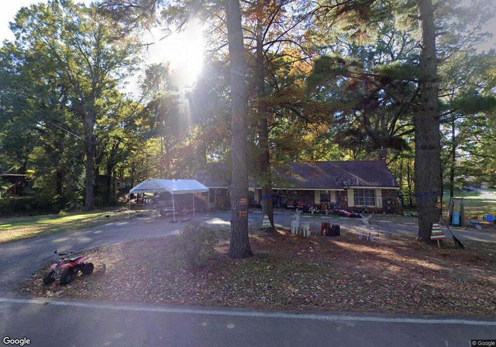
4237 Benjestown Rd Memphis, TN 38127
Estimated Value: $129,484 - $201,000
3
Beds
2
Baths
2,988
Sq Ft
$59/Sq Ft
Est. Value
About This Home
This home is located at 4237 Benjestown Rd, Memphis, TN 38127 and is currently estimated at $176,371, approximately $59 per square foot. 4237 Benjestown Rd is a home located in Shelby County with nearby schools including Northaven Elementary School, Woodstock Middle School, and Trezevant High School.
Ownership History
Date
Name
Owned For
Owner Type
Purchase Details
Closed on
Jul 20, 2021
Sold by
Vandiveer Peggy Jean
Bought by
Marchbanks Johnny R and Marchbanks Cheryl D
Current Estimated Value
Home Financials for this Owner
Home Financials are based on the most recent Mortgage that was taken out on this home.
Original Mortgage
$85,000
Outstanding Balance
$77,195
Interest Rate
2.96%
Mortgage Type
Seller Take Back
Estimated Equity
$99,176
Purchase Details
Closed on
Dec 30, 2005
Sold by
Vandiveer Rodney N and Vandiveer Peggy Jean
Bought by
Allen Kenneth B and Hanks James P
Home Financials for this Owner
Home Financials are based on the most recent Mortgage that was taken out on this home.
Original Mortgage
$120,000
Interest Rate
6.21%
Mortgage Type
Seller Take Back
Create a Home Valuation Report for This Property
The Home Valuation Report is an in-depth analysis detailing your home's value as well as a comparison with similar homes in the area
Home Values in the Area
Average Home Value in this Area
Purchase History
| Date | Buyer | Sale Price | Title Company |
|---|---|---|---|
| Marchbanks Johnny R | $85,000 | Goulder Danny | |
| Allen Kenneth B | $125,000 | None Available |
Source: Public Records
Mortgage History
| Date | Status | Borrower | Loan Amount |
|---|---|---|---|
| Open | Marchbanks Johnny R | $85,000 | |
| Previous Owner | Allen Kenneth B | $120,000 |
Source: Public Records
Tax History Compared to Growth
Tax History
| Year | Tax Paid | Tax Assessment Tax Assessment Total Assessment is a certain percentage of the fair market value that is determined by local assessors to be the total taxable value of land and additions on the property. | Land | Improvement |
|---|---|---|---|---|
| 2025 | $1,384 | $40,250 | $6,725 | $33,525 |
| 2024 | $1,384 | $40,825 | $6,375 | $34,450 |
| 2023 | $1,384 | $40,825 | $6,375 | $34,450 |
| 2022 | $1,384 | $40,825 | $6,375 | $34,450 |
| 2021 | $1,653 | $40,825 | $6,375 | $34,450 |
| 2020 | $961 | $23,725 | $6,375 | $17,350 |
| 2019 | $961 | $23,725 | $6,375 | $17,350 |
| 2018 | $961 | $23,725 | $6,375 | $17,350 |
| 2017 | $975 | $23,725 | $6,375 | $17,350 |
| 2016 | $1,056 | $24,175 | $0 | $0 |
| 2014 | $1,056 | $24,175 | $0 | $0 |
Source: Public Records
Map
Nearby Homes
- 4346 Benjestown Rd
- 4457 Benjestown Rd
- 3975 Billion Rd
- 4680 Benjestown Rd
- 3609 Sunrise St
- 3603 Sunrise St
- 3643 Early St
- 4710 E Circle Rd
- 3633 Early St
- 854 Carrolton Ave
- 3594 Sunrise St
- 497 Elmfield Cove
- 505 Elmfield Cove
- 3594 Dumas St
- 842 Restbrook Ave
- 835 Restbrook Ave
- 828 Floyd Ave
- 000 Benjestown Rd
- 803 Par Ave
- 908 Restbrook Ave
- 4205 Benjestown Rd
- 4261 Benjestown Rd
- 4265 Benjestown Rd
- 4227 Billion Rd
- 4234 Benjestown Rd
- 4219 Billion Rd
- 4215 Billion Rd
- 4175 Benjestown Rd
- 4220 Billion Rd
- 4211 Billion Rd
- 4309 Benjestown Rd
- 4205 Billion Rd
- 4352 Benjestown Rd
- 4360 Benjestown Rd
- 4116 Benjestown Rd
- 4175 Billion Rd
- 4358 Benjestown Rd
- 4174 Billion Rd
- 4387 Benjestown Rd
- 4420 Benjestown Rd