Estimated Value: $628,000 - $1,220,714
4
Beds
1
Bath
2,755
Sq Ft
$304/Sq Ft
Est. Value
About This Home
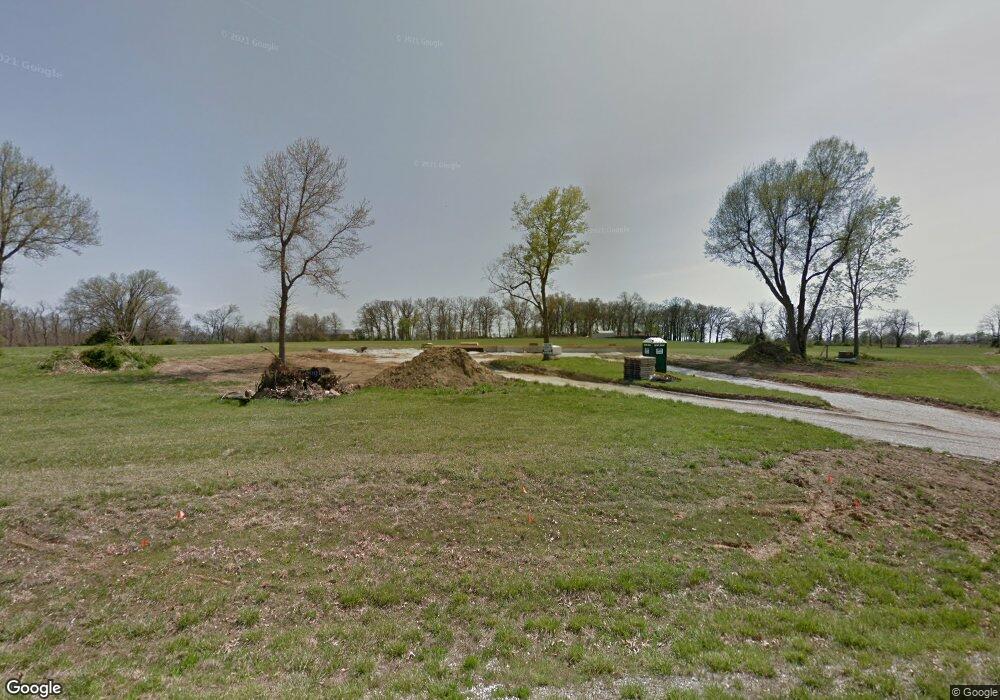
This home is located at 4238 Rumson Rd, Nixa, MO 65714 and is currently estimated at $838,238, approximately $304 per square foot. 4238 Rumson Rd is a home with nearby schools including High Pointe Elementary School, Summit Intermediate School, and Queens Gateway to Health Sciences Secondary School.
Ownership History
Date
Name
Owned For
Owner Type
Purchase Details
Closed on
Oct 21, 2015
Sold by
Rice Brothers Farms Llc
Bought by
Sundy Paul S and Sundy Crystal S
Current Estimated Value
Home Financials for this Owner
Home Financials are based on the most recent Mortgage that was taken out on this home.
Original Mortgage
$646,455
Outstanding Balance
$508,613
Interest Rate
3.96%
Mortgage Type
Future Advance Clause Open End Mortgage
Estimated Equity
$329,625
Purchase Details
Closed on
Apr 1, 2010
Sold by
Gene Flood Development Inc
Bought by
Sundy Paul S and Sundy Crystal S
Create a Home Valuation Report for This Property
The Home Valuation Report is an in-depth analysis detailing your home's value as well as a comparison with similar homes in the area
Home Values in the Area
Average Home Value in this Area
Purchase History
| Date | Buyer | Sale Price | Title Company |
|---|---|---|---|
| Sundy Paul S | -- | Great American Title | |
| Sundy Paul S | -- | None Available |
Source: Public Records
Mortgage History
| Date | Status | Borrower | Loan Amount |
|---|---|---|---|
| Open | Sundy Paul S | $646,455 |
Source: Public Records
Tax History Compared to Growth
Tax History
| Year | Tax Paid | Tax Assessment Tax Assessment Total Assessment is a certain percentage of the fair market value that is determined by local assessors to be the total taxable value of land and additions on the property. | Land | Improvement |
|---|---|---|---|---|
| 2024 | $9,885 | $155,490 | -- | -- |
| 2023 | $9,873 | $155,490 | -- | -- |
| 2022 | $9,810 | $154,270 | $0 | $0 |
| 2021 | $9,492 | $154,270 | $0 | $0 |
| 2020 | $8,685 | $138,530 | $0 | $0 |
| 2019 | $8,685 | $138,530 | $0 | $0 |
| 2017 | $7,595 | $130,570 | $0 | $0 |
| 2016 | $7,469 | $130,570 | $0 | $0 |
| 2014 | $807 | $14,250 | $0 | $0 |
| 2013 | $7 | $14,250 | $0 | $0 |
| 2011 | $7 | $26,600 | $0 | $0 |
Source: Public Records
Map
Nearby Homes
- 8326 Shinnecock Dr
- 8310 Rolling Hills Dr
- 4807 Rolling Hills Dr
- 711 N Greer Ave
- 714 N Fox Hill Cir
- 935 E Thorndale Dr
- 871 Galway Ct
- 656 Greer Ave
- 921 E Thorndale Dr
- 679 N Fox Hill Cir
- 1411 E Hayston Ave
- 711 N Baywood Dr
- 861 Bantry Ct
- 867 E Edenmore Cir
- 707 N Baywood Dr
- 1410 E Hayston Ave
- 144 Blue Jay Way
- 705 N Baywood Dr
- 1505 E Riverton Rd
- 2500 Plan at Riverton Park
- 0 Rumson Unit 10811014
- 0 Rumson Unit 10811018
- 0 Rumson Unit 10902986
- 0 Rumson Unit 10903000
- 0 Rumson Unit 10903002
- 0 Rumson Unit 10903433
- 0 Rumson Unit 60113049
- Lot 8 Rumson
- Lot 4 Rumson
- 0 Fair Haven Ph 4 Unit 11106439
- 0 Fair Haven Ph 4 Unit 11016198
- 4208 Rumson
- 4300 Rumson Rd
- 4227 Rumson Rd
- 4311 Rumson Rd
- 4205 Rumson Rd
- 0 Lot 12 11th Addition Unit 60038598
- 1098 N Cheyenne Rd
- 1100 Cheyenne Rd
- 4306 Buttonwood Dr
