Estimated Value: $523,000 - $678,000
3
Beds
2
Baths
1,400
Sq Ft
$415/Sq Ft
Est. Value
About This Home
This home is located at 424 Perry Oliver Rd, Wells, ME 04090 and is currently estimated at $581,008, approximately $415 per square foot. 424 Perry Oliver Rd is a home located in York County with nearby schools including Wells Elementary School, Wells Junior High School, and Wells High School.
Ownership History
Date
Name
Owned For
Owner Type
Purchase Details
Closed on
Aug 9, 2021
Sold by
Brown Alissa and Brown Trevor
Bought by
Brown Trevor and Dunn Scott
Current Estimated Value
Home Financials for this Owner
Home Financials are based on the most recent Mortgage that was taken out on this home.
Original Mortgage
$320,000
Outstanding Balance
$290,979
Interest Rate
2.9%
Mortgage Type
Purchase Money Mortgage
Estimated Equity
$290,029
Purchase Details
Closed on
Sep 30, 2020
Sold by
Helen N Sprer Ret
Bought by
Brown Alissa and Brown Trevor
Home Financials for this Owner
Home Financials are based on the most recent Mortgage that was taken out on this home.
Original Mortgage
$260,000
Interest Rate
2.9%
Mortgage Type
New Conventional
Purchase Details
Closed on
Jun 17, 2014
Sold by
Springer Helen N
Bought by
Lawson Eric and Lawson Jennie C
Purchase Details
Closed on
Jun 24, 2009
Sold by
Springer Laurence Est and Springer Helen N
Bought by
Springer Helen N
Create a Home Valuation Report for This Property
The Home Valuation Report is an in-depth analysis detailing your home's value as well as a comparison with similar homes in the area
Home Values in the Area
Average Home Value in this Area
Purchase History
| Date | Buyer | Sale Price | Title Company |
|---|---|---|---|
| Brown Trevor | -- | None Available | |
| Brown Alissa | -- | None Available | |
| Lawson Eric | -- | -- | |
| Caron Kristin A | -- | -- | |
| Springer Helen N | -- | -- |
Source: Public Records
Mortgage History
| Date | Status | Borrower | Loan Amount |
|---|---|---|---|
| Open | Brown Trevor | $320,000 | |
| Previous Owner | Brown Alissa | $260,000 |
Source: Public Records
Tax History Compared to Growth
Tax History
| Year | Tax Paid | Tax Assessment Tax Assessment Total Assessment is a certain percentage of the fair market value that is determined by local assessors to be the total taxable value of land and additions on the property. | Land | Improvement |
|---|---|---|---|---|
| 2024 | $3,137 | $515,970 | $143,130 | $372,840 |
| 2023 | $3,075 | $515,970 | $143,130 | $372,840 |
| 2022 | $2,811 | $268,760 | $65,200 | $203,560 |
| 2021 | $2,827 | $268,760 | $56,190 | $212,570 |
| 2020 | $2,885 | $275,270 | $67,710 | $207,560 |
| 2019 | $2,868 | $275,270 | $67,710 | $207,560 |
| 2018 | $2,620 | $275,270 | $71,710 | $203,560 |
| 2017 | $2,762 | $271,880 | $71,710 | $200,170 |
| 2016 | $2,735 | $271,880 | $71,710 | $200,170 |
| 2015 | $2,705 | $271,880 | $71,710 | $200,170 |
| 2013 | $2,607 | $285,880 | $85,710 | $200,170 |
Source: Public Records
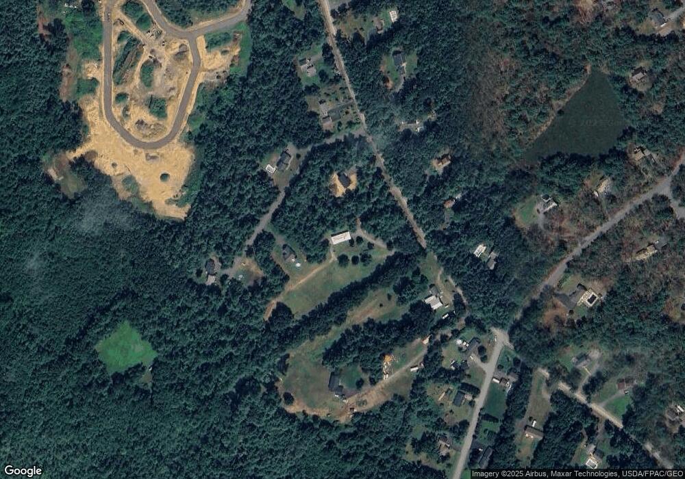
Map
Nearby Homes
- Lot 11 Laney Ln
- Lot 13 Laney Ln
- 761 Quarry Rd
- 94 Perry Oliver Rd
- 86 Moose Bog Ln
- 43 Michaels Rd
- 1229 Bragdon Rd
- 45 Grace Ln
- lot 6 Bragdon Rd
- 469 High St
- 233 Wells St
- 202 High St
- Lot 4 Tbd Lentago Ln Unit Lot 4
- 22 Lentago Ln
- Lot 3 Lentago Ln
- 42 Bernice Ave
- 22 Church Ave
- 38 High St
- 17 Market St
- 30 Riverview Dr Unit D
- 19 Devin Ln
- 405 Perry Oliver Rd
- 386 Perry Oliver Rd
- 423 Perry Oliver Rd
- 454 Perry Oliver Rd
- 439 Perry Oliver Rd
- 67 Devin Ln
- 48 Devin Ln
- 380 Perry Oliver Rd
- 12 Butternut Trail
- 470 Perry Oliver Rd
- 9 Thompson St
- 457 Perry Oliver Rd
- lot 10 Laney Ln
- 23 Thompson St
- 8 Thompson St
- 40 Butternut Trail
- 477 Perry Oliver Rd
- 17 Butternut Trail
- 6 Minuteman Dr