424 State Highway 15 Fairmont, MN 56031
Estimated Value: $232,000
3
Beds
2
Baths
4,084
Sq Ft
$57/Sq Ft
Est. Value
About This Home
This home is located at 424 State Highway 15, Fairmont, MN 56031 and is currently priced at $232,000, approximately $56 per square foot. 424 State Highway 15 is a home located in Martin County with nearby schools including Fairmont Elementary School and Fairmont Junior/Senior High School.
Ownership History
Date
Name
Owned For
Owner Type
Purchase Details
Closed on
May 15, 2020
Sold by
Maday Dwayne A and Maday Roberta
Bought by
Splinter Dustin M and Splinter Natalie S
Current Estimated Value
Home Financials for this Owner
Home Financials are based on the most recent Mortgage that was taken out on this home.
Original Mortgage
$242,000
Outstanding Balance
$214,446
Interest Rate
3.3%
Mortgage Type
New Conventional
Purchase Details
Closed on
Jan 16, 2006
Sold by
Maday Dwayne A and Maday Roberta
Bought by
Maday Dwayne A and Maday Roberta
Home Financials for this Owner
Home Financials are based on the most recent Mortgage that was taken out on this home.
Original Mortgage
$183,325
Interest Rate
6.48%
Mortgage Type
Purchase Money Mortgage
Purchase Details
Closed on
Dec 2, 2005
Sold by
Maday Donald J and Maday James R
Bought by
Maday Dwayne A and Maday Roberta
Home Financials for this Owner
Home Financials are based on the most recent Mortgage that was taken out on this home.
Original Mortgage
$183,325
Interest Rate
6.48%
Mortgage Type
Purchase Money Mortgage
Create a Home Valuation Report for This Property
The Home Valuation Report is an in-depth analysis detailing your home's value as well as a comparison with similar homes in the area
Home Values in the Area
Average Home Value in this Area
Purchase History
| Date | Buyer | Sale Price | Title Company |
|---|---|---|---|
| Splinter Dustin M | $411,970 | None Available | |
| Maday Dwayne A | -- | None Available | |
| Maday Dwayne A | $344,624 | None Available |
Source: Public Records
Mortgage History
| Date | Status | Borrower | Loan Amount |
|---|---|---|---|
| Open | Splinter Dustin M | $242,000 | |
| Previous Owner | Maday Dwayne A | $183,325 |
Source: Public Records
Tax History Compared to Growth
Tax History
| Year | Tax Paid | Tax Assessment Tax Assessment Total Assessment is a certain percentage of the fair market value that is determined by local assessors to be the total taxable value of land and additions on the property. | Land | Improvement |
|---|---|---|---|---|
| 2025 | $4,662 | $1,663,000 | $1,663,000 | $0 |
| 2024 | $4,204 | $1,813,900 | $1,813,900 | $0 |
| 2023 | $3,486 | $1,813,900 | $1,813,900 | $0 |
| 2022 | $3,976 | $1,239,500 | $1,239,500 | $0 |
| 2021 | $4,386 | $1,148,500 | $1,148,500 | $0 |
| 2020 | $6,522 | $1,471,900 | $1,256,400 | $215,500 |
| 2019 | $6,352 | $1,395,000 | $1,192,000 | $203,000 |
| 2018 | $6,252 | $1,381,200 | $1,157,700 | $223,500 |
| 2017 | $5,570 | $1,393,900 | $1,187,860 | $206,040 |
| 2016 | $5,634 | $1,501,300 | $1,294,360 | $206,940 |
| 2015 | $4,078 | $1,631,300 | $1,418,990 | $212,310 |
| 2013 | $3,620 | $1,179,900 | $967,441 | $212,459 |
Source: Public Records
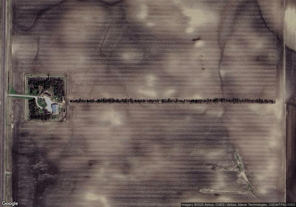
Map
Nearby Homes
- 1011 Iowa 15
- 775 200th Ave
- 276 180th Ave
- Lot 5 200th Ave
- Lot 1 200th Ave
- Lot 2 200th Ave
- Lot 3 200th Ave
- Lot 4 200th Ave
- Lot 6 200th Ave
- 2109 95th St
- 2214 Red Bird Ln
- 2218 Red Bird Ln
- 2224 Red Bird Ln
- 2413 Albion Ave
- 1910 Knollwood Dr
- 1581 Meadowlark Ln
- 1600 S Prairie Ave
- 1415 Oak Beach Dr
- 1365 Oak Beach Dr
- 954 Liberty Ln