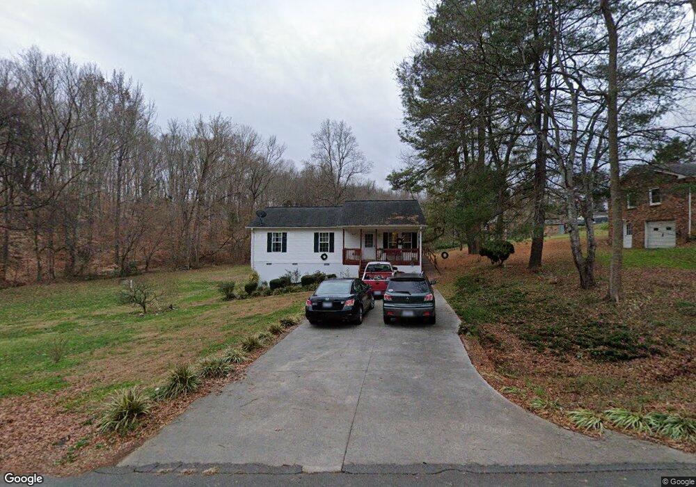
424 Whitney Rd Mocksville, NC 27028
Estimated Value: $199,000 - $219,000
3
Beds
2
Baths
1,218
Sq Ft
$172/Sq Ft
Est. Value
About This Home
This home is located at 424 Whitney Rd, Mocksville, NC 27028 and is currently estimated at $210,105, approximately $172 per square foot. 424 Whitney Rd is a home located in Davie County with nearby schools including Cornatzer Elementary School, William Ellis Middle School, and Davie County High School.
Ownership History
Date
Name
Owned For
Owner Type
Purchase Details
Closed on
May 1, 2004
Current Estimated Value
Purchase Details
Closed on
Dec 1, 1999
Purchase Details
Closed on
May 1, 1985
Create a Home Valuation Report for This Property
The Home Valuation Report is an in-depth analysis detailing your home's value as well as a comparison with similar homes in the area
Home Values in the Area
Average Home Value in this Area
Purchase History
| Date | Buyer | Sale Price | Title Company |
|---|---|---|---|
| -- | $43,000 | -- | |
| -- | -- | -- | |
| -- | -- | -- |
Source: Public Records
Tax History
| Year | Tax Paid | Tax Assessment Tax Assessment Total Assessment is a certain percentage of the fair market value that is determined by local assessors to be the total taxable value of land and additions on the property. | Land | Improvement |
|---|---|---|---|---|
| 2025 | $1,704 | $174,080 | $35,000 | $139,080 |
| 2024 | $1,158 | $108,910 | $16,000 | $92,910 |
| 2023 | $1,158 | $108,910 | $16,000 | $92,910 |
| 2022 | $1,158 | $108,910 | $16,000 | $92,910 |
| 2021 | $1,158 | $108,910 | $16,000 | $92,910 |
| 2020 | $1,006 | $94,200 | $10,000 | $84,200 |
| 2019 | $1,006 | $94,200 | $10,000 | $84,200 |
| 2018 | $1,006 | $94,200 | $10,000 | $84,200 |
| 2017 | $997 | $94,200 | $0 | $0 |
| 2016 | $1,026 | $96,960 | $0 | $0 |
| 2015 | $1,026 | $96,960 | $0 | $0 |
| 2014 | $921 | $96,960 | $0 | $0 |
| 2013 | -- | $96,960 | $0 | $0 |
Source: Public Records
Map
Nearby Homes
- 123 Creekside Dr
- 126 Blue Bonnet Ct
- 148 Windsong Rd
- 1119 Milling Rd
- 191 Big Laurel Dr
- 181 Big Laurel Dr
- 168 Chessie Rd
- 176 Big Laurel Dr
- 150 Ariel Ct
- 112 W Carmel Cove Dr
- 104 Nickel Plate Dr
- 107 Big Laurel Dr
- KYLE Plan at Hudson Glen
- BELHAVEN Plan at Hudson Glen
- PENWELL Plan at Hudson Glen
- CALI Plan at Hudson Glen
- HAYDEN Plan at Hudson Glen
- 158 John Crotts Rd
- 109 Marbrook Dr
- 125 Drayton Ct