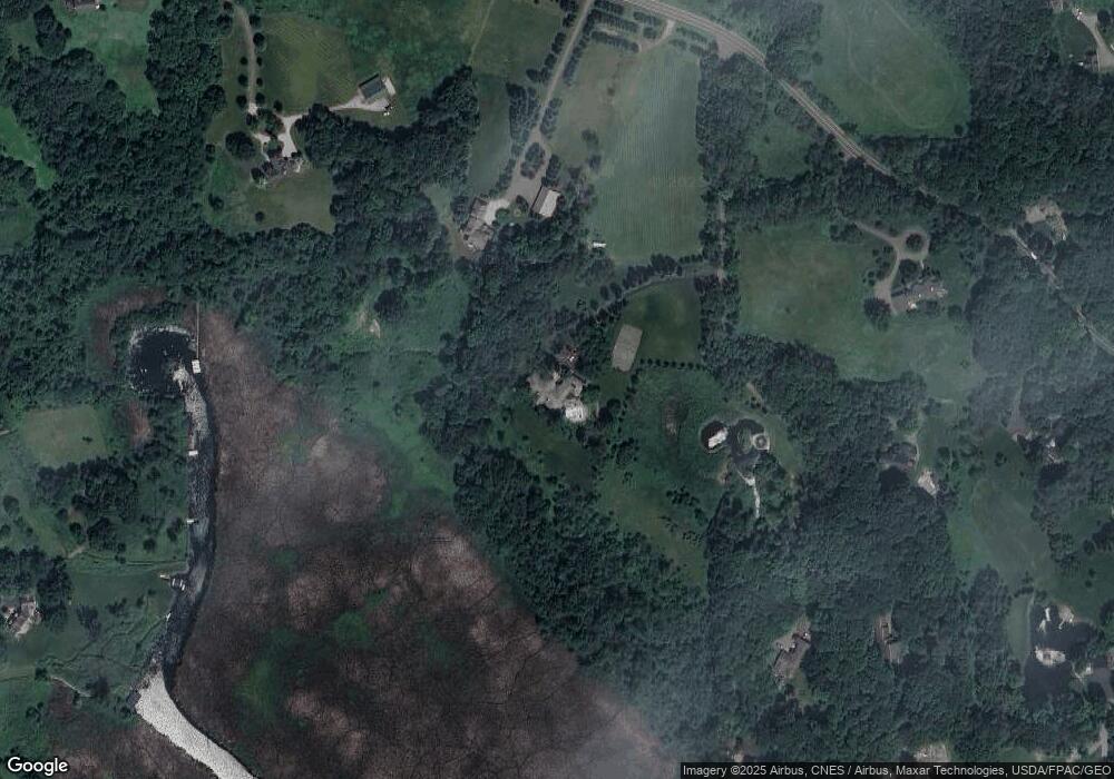
4245 Bayside Rd Maple Plain, MN 55359
Estimated Value: $2,159,000 - $2,581,000
6
Beds
6
Baths
7,944
Sq Ft
$293/Sq Ft
Est. Value
About This Home
This home is located at 4245 Bayside Rd, Maple Plain, MN 55359 and is currently estimated at $2,329,717, approximately $293 per square foot. 4245 Bayside Rd is a home located in Hennepin County with nearby schools including Hilltop Primary School, Westonka Middle School, and Westonka High School.
Ownership History
Date
Name
Owned For
Owner Type
Purchase Details
Closed on
Oct 6, 2014
Sold by
White Gregory C and White Lynn M
Bought by
Sylvester Todd G and Sylvester Lisa M
Current Estimated Value
Home Financials for this Owner
Home Financials are based on the most recent Mortgage that was taken out on this home.
Original Mortgage
$1,000,000
Outstanding Balance
$755,777
Interest Rate
3.72%
Mortgage Type
Adjustable Rate Mortgage/ARM
Estimated Equity
$1,573,940
Purchase Details
Closed on
Jul 31, 2009
Sold by
The Avis N White Qualified Personal Resi
Bought by
White Robert W and White Gregory C
Create a Home Valuation Report for This Property
The Home Valuation Report is an in-depth analysis detailing your home's value as well as a comparison with similar homes in the area
Home Values in the Area
Average Home Value in this Area
Purchase History
| Date | Buyer | Sale Price | Title Company |
|---|---|---|---|
| Sylvester Todd G | $1,250,000 | Burnet Title | |
| White Robert W | $2,100,000 | -- |
Source: Public Records
Mortgage History
| Date | Status | Borrower | Loan Amount |
|---|---|---|---|
| Open | Sylvester Todd G | $1,000,000 |
Source: Public Records
Tax History
| Year | Tax Paid | Tax Assessment Tax Assessment Total Assessment is a certain percentage of the fair market value that is determined by local assessors to be the total taxable value of land and additions on the property. | Land | Improvement |
|---|---|---|---|---|
| 2024 | $18,878 | $1,797,300 | $506,300 | $1,291,000 |
| 2023 | $18,152 | $1,795,100 | $573,800 | $1,221,300 |
| 2022 | $13,590 | $1,595,000 | $479,000 | $1,116,000 |
| 2021 | $13,040 | $1,278,000 | $371,000 | $907,000 |
| 2020 | $14,280 | $1,221,000 | $315,000 | $906,000 |
| 2019 | $13,300 | $1,253,600 | $320,000 | $933,600 |
| 2018 | $14,082 | $1,139,000 | $276,000 | $863,000 |
| 2017 | $14,362 | $1,199,000 | $313,000 | $886,000 |
| 2016 | $15,105 | $1,250,000 | $343,000 | $907,000 |
Source: Public Records
Map
Nearby Homes
- 365 W Lake St
- 348 W Lake St
- 305 N Shore Dr W
- 285 N Shore Dr W
- 1074 Wildhurst Trail
- XXXX Orchard Park Rd
- 4824 Red Oak Ln
- 640 Orchard Park Rd
- 4736 N Shore Dr
- 000 Park Dr
- 1145 Tonkawa Rd
- 4435 N Shore Dr
- 675 Clarence Ave
- 1545 Minnie Ave
- 5540 County Road 151
- 995 Honey Hill
- 2845 Watertown Rd
- 3705 N Shore Dr
- 285 N Old Crystal Bay Rd
- 4945 Glen Elyn Rd
- 4245 4245 Bayside Rd
- 4355 Bayside Rd
- xxxx Bayside
- 4125 Bayside Rd
- 4125 Bayside Rd
- 4135 Bayside Rd
- 4375 Bayside Rd
- 4185 Bayside Rd
- 4105 Bayside Rd
- 4165 4165 Bayside Rd
- 4165 Bayside Rd
- 4045 Bayside Rd
- 425 Tonkawa Rd
- 425 425 Tonkawa Rd
- 4080 Bayside Rd
- 4080 Bayside Rd
- 360 N Arm Ln
- 360 N Arm Ln
- 360 360 N Arm-Lane-
- 445 Linden Ave
