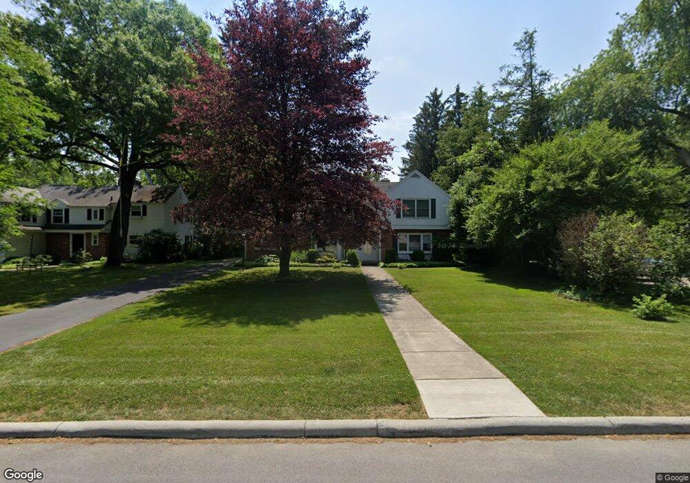
4245 Brookside Rd Ottawa Hills, OH 43606
Estimated Value: $361,951 - $544,000
2
Beds
2
Baths
2,518
Sq Ft
$168/Sq Ft
Est. Value
About This Home
This home is located at 4245 Brookside Rd, Ottawa Hills, OH 43606 and is currently estimated at $422,488, approximately $167 per square foot. 4245 Brookside Rd is a home located in Lucas County with nearby schools including Ottawa Hills Elementary School, Ottawa Hills High School, and Central Academy Of Ohio.
Ownership History
Date
Name
Owned For
Owner Type
Purchase Details
Closed on
Aug 29, 2003
Sold by
Woodward Douglas L
Bought by
Urfer Robert and Urfer Christina
Current Estimated Value
Home Financials for this Owner
Home Financials are based on the most recent Mortgage that was taken out on this home.
Original Mortgage
$207,000
Interest Rate
6.18%
Mortgage Type
Balloon
Purchase Details
Closed on
May 5, 2003
Sold by
Woodward Elaine M
Bought by
Woodward Douglas L
Purchase Details
Closed on
Feb 24, 1989
Sold by
Woodward Elaine M
Create a Home Valuation Report for This Property
The Home Valuation Report is an in-depth analysis detailing your home's value as well as a comparison with similar homes in the area
Home Values in the Area
Average Home Value in this Area
Purchase History
| Date | Buyer | Sale Price | Title Company |
|---|---|---|---|
| Urfer Robert | $230,000 | American 1St | |
| Woodward Douglas L | -- | -- | |
| -- | -- | -- |
Source: Public Records
Mortgage History
| Date | Status | Borrower | Loan Amount |
|---|---|---|---|
| Closed | Urfer Robert | $207,000 |
Source: Public Records
Tax History Compared to Growth
Tax History
| Year | Tax Paid | Tax Assessment Tax Assessment Total Assessment is a certain percentage of the fair market value that is determined by local assessors to be the total taxable value of land and additions on the property. | Land | Improvement |
|---|---|---|---|---|
| 2024 | $4,160 | $104,230 | $27,405 | $76,825 |
| 2023 | $7,547 | $87,395 | $33,915 | $53,480 |
| 2022 | $7,661 | $87,395 | $33,915 | $53,480 |
| 2021 | $7,762 | $87,395 | $33,915 | $53,480 |
| 2020 | $7,294 | $75,215 | $28,595 | $46,620 |
| 2019 | $6,621 | $75,215 | $28,595 | $46,620 |
| 2018 | $6,421 | $75,215 | $28,595 | $46,620 |
| 2017 | $6,277 | $67,655 | $21,175 | $46,480 |
| 2016 | $6,219 | $193,300 | $60,500 | $132,800 |
| 2015 | $6,243 | $193,300 | $60,500 | $132,800 |
| 2014 | $6,040 | $67,660 | $21,180 | $46,480 |
| 2013 | $6,040 | $67,660 | $21,180 | $46,480 |
Source: Public Records
Map
Nearby Homes
- 4028 Brookside Rd
- 2222 Talmadge Rd
- 3765 Brookside Rd
- 2130 Richards Rd
- 4057 Hillandale Rd
- 4519 W Bancroft St
- 2611 Evergreen Rd
- 4515 W Bancroft St
- 2009 Garden Ln
- 4236 S Terrace View St
- 4239 W Central Ave
- 3925 Hillandale Rd
- 2513 Ashborne Place
- 2901 Evergreen Rd
- 4545 Indian Rd
- 4705 W Bancroft St
- 4709 W Bancroft St
- 3205 Talmadge Rd
- 2026 Pautucket Rd
- 2720 Derby Rd
- 4237 Brookside Rd
- 4251 Brookside Rd
- 4229 Brookside Rd
- 4250 Brookside Rd
- 4236 Brookside Rd
- 2464 Talmadge Rd
- 4221 Brookside Rd
- 4228 Brookside Rd
- 4220 Brookside Rd
- 4215 Brookside Rd
- 2520 Talmadge Rd
- 2511 Talmadge Rd
- 4205 Brookside Rd
- 4214 Brookside Rd
- 2534 Talmadge Rd
- 4309 Brookside Rd
- 4156 Brookside Rd
- 4151 Brookside Rd
- 4318 Brookside Rd
- 2529 Talmadge Rd