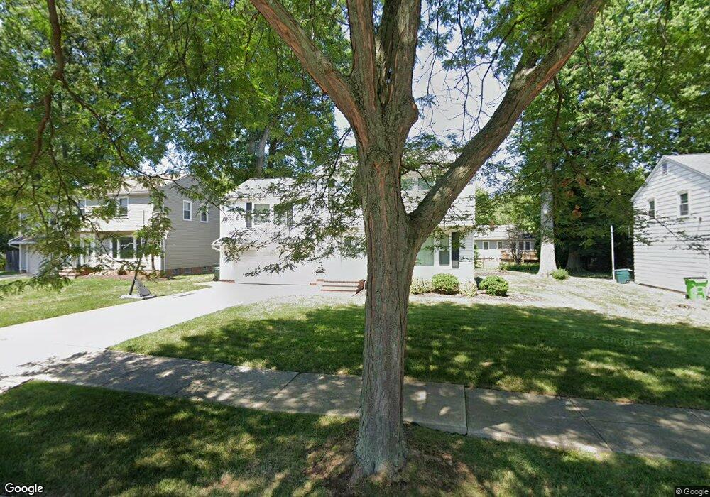
4245 Robert Rd Cleveland, OH 44121
Estimated Value: $165,000 - $214,000
3
Beds
2
Baths
1,774
Sq Ft
$112/Sq Ft
Est. Value
About This Home
This home is located at 4245 Robert Rd, Cleveland, OH 44121 and is currently estimated at $199,544, approximately $112 per square foot. 4245 Robert Rd is a home located in Cuyahoga County with nearby schools including Adrian Elementary School, Greenview Upper Elementary School, and Memorial Junior High School.
Ownership History
Date
Name
Owned For
Owner Type
Purchase Details
Closed on
Oct 14, 2001
Sold by
Hall Kathleen M
Bought by
Lockett Lenora
Current Estimated Value
Home Financials for this Owner
Home Financials are based on the most recent Mortgage that was taken out on this home.
Original Mortgage
$144,900
Outstanding Balance
$55,890
Interest Rate
6.69%
Estimated Equity
$143,654
Purchase Details
Closed on
Dec 12, 1991
Sold by
Hall Roy E
Bought by
Hall Kathleen M
Purchase Details
Closed on
May 13, 1981
Sold by
Hall Roy E and Hall Kathleen M
Bought by
Hall Roy E
Purchase Details
Closed on
Jan 1, 1975
Bought by
Hall Roy E and Hall Kathleen M
Create a Home Valuation Report for This Property
The Home Valuation Report is an in-depth analysis detailing your home's value as well as a comparison with similar homes in the area
Home Values in the Area
Average Home Value in this Area
Purchase History
| Date | Buyer | Sale Price | Title Company |
|---|---|---|---|
| Lockett Lenora | $144,900 | Truetitle Agency Inc | |
| Hall Kathleen M | -- | -- | |
| Hall Roy E | -- | -- | |
| Hall Roy E | -- | -- |
Source: Public Records
Mortgage History
| Date | Status | Borrower | Loan Amount |
|---|---|---|---|
| Open | Lockett Lenora | $144,900 |
Source: Public Records
Tax History Compared to Growth
Tax History
| Year | Tax Paid | Tax Assessment Tax Assessment Total Assessment is a certain percentage of the fair market value that is determined by local assessors to be the total taxable value of land and additions on the property. | Land | Improvement |
|---|---|---|---|---|
| 2024 | $5,133 | $67,550 | $10,920 | $56,630 |
| 2023 | $4,760 | $50,480 | $8,790 | $41,690 |
| 2022 | $4,734 | $50,470 | $8,785 | $41,685 |
| 2021 | $4,697 | $50,470 | $8,790 | $41,690 |
| 2020 | $4,389 | $41,020 | $7,140 | $33,880 |
| 2019 | $4,006 | $117,200 | $20,400 | $96,800 |
| 2018 | $3,986 | $41,020 | $7,140 | $33,880 |
| 2017 | $4,121 | $38,990 | $7,000 | $31,990 |
| 2016 | $4,094 | $38,990 | $7,000 | $31,990 |
| 2015 | $4,166 | $38,990 | $7,000 | $31,990 |
| 2014 | $4,166 | $41,060 | $7,390 | $33,670 |
Source: Public Records
Map
Nearby Homes
- 963 Chelston Rd
- 4258 Bluestone Rd
- 1114 Piermont Rd
- 1089 Argonne Rd
- 4289 Swaffield Dr
- 1129 Homestead Rd
- 1129 Avondale Rd
- 1105 Winston Rd
- 1164 S Belvoir Blvd
- 1166 Argonne Rd
- 4400 Angela Dr
- 925 Keystone Dr
- 857 Quarry Dr
- 1157 Sylvania Rd
- 1231 Winston Rd
- 4406 Elmwood Rd
- 868 Haywood Dr
- 4532 Anderson Rd
- 1148 Sylvania Rd
- 854 Keystone Dr
- 4241 Robert Rd
- 4249 Robert Rd
- 4242 Plymouth Dr
- 4246 Plymouth Dr
- 4238 Plymouth Dr
- 4250 Plymouth Dr
- 4253 Robert Rd
- 4246 Robert Rd
- 4242 Robert Rd
- 4237 Robert Rd
- 4230 Plymouth Dr
- 4256 Plymouth Dr
- 4250 Robert Rd
- 1020 Piermont Rd
- 4226 Plymouth Dr
- 4262 Plymouth Dr
- 4222 Plymouth Dr
- 1028 Piermont Rd
- 1031 Piermont Rd
- 1032 Homestead Rd