Estimated Value: $756,000 - $1,118,000
4
Beds
3
Baths
2,617
Sq Ft
$328/Sq Ft
Est. Value
About This Home
This home is located at 42480 Canal Rd, Ronan, MT 59864 and is currently estimated at $859,433, approximately $328 per square foot. 42480 Canal Rd is a home located in Lake County with nearby schools including Ronan Middle School.
Ownership History
Date
Name
Owned For
Owner Type
Purchase Details
Closed on
Nov 20, 2024
Sold by
Millstead Ronald and Millstead Carrie
Bought by
Gilroy Zachary and Gilroy Kaytie
Current Estimated Value
Home Financials for this Owner
Home Financials are based on the most recent Mortgage that was taken out on this home.
Original Mortgage
$731,500
Outstanding Balance
$724,646
Interest Rate
6.44%
Mortgage Type
New Conventional
Estimated Equity
$134,787
Purchase Details
Closed on
Mar 19, 2015
Sold by
Thomas Mary
Bought by
Millstead Ronald and Millstead Carrie
Home Financials for this Owner
Home Financials are based on the most recent Mortgage that was taken out on this home.
Original Mortgage
$229,500
Interest Rate
3.54%
Mortgage Type
New Conventional
Create a Home Valuation Report for This Property
The Home Valuation Report is an in-depth analysis detailing your home's value as well as a comparison with similar homes in the area
Home Values in the Area
Average Home Value in this Area
Purchase History
| Date | Buyer | Sale Price | Title Company |
|---|---|---|---|
| Gilroy Zachary | -- | None Listed On Document | |
| Millstead Ronald | -- | First American Title Company |
Source: Public Records
Mortgage History
| Date | Status | Borrower | Loan Amount |
|---|---|---|---|
| Open | Gilroy Zachary | $731,500 | |
| Previous Owner | Millstead Ronald | $229,500 |
Source: Public Records
Tax History Compared to Growth
Tax History
| Year | Tax Paid | Tax Assessment Tax Assessment Total Assessment is a certain percentage of the fair market value that is determined by local assessors to be the total taxable value of land and additions on the property. | Land | Improvement |
|---|---|---|---|---|
| 2025 | $3,507 | $770,700 | $0 | $0 |
| 2024 | $3,738 | $563,700 | $0 | $0 |
| 2023 | $3,595 | $563,700 | $0 | $0 |
| 2022 | $2,976 | $381,500 | $0 | $0 |
| 2021 | $3,208 | $381,500 | $0 | $0 |
| 2020 | $2,812 | $309,400 | $0 | $0 |
| 2019 | $3,044 | $309,400 | $0 | $0 |
| 2018 | $3,187 | $282,300 | $0 | $0 |
| 2017 | $3,112 | $282,300 | $0 | $0 |
| 2016 | $2,876 | $276,100 | $0 | $0 |
| 2015 | $2,748 | $276,100 | $0 | $0 |
| 2014 | -- | $160,219 | $0 | $0 |
Source: Public Records
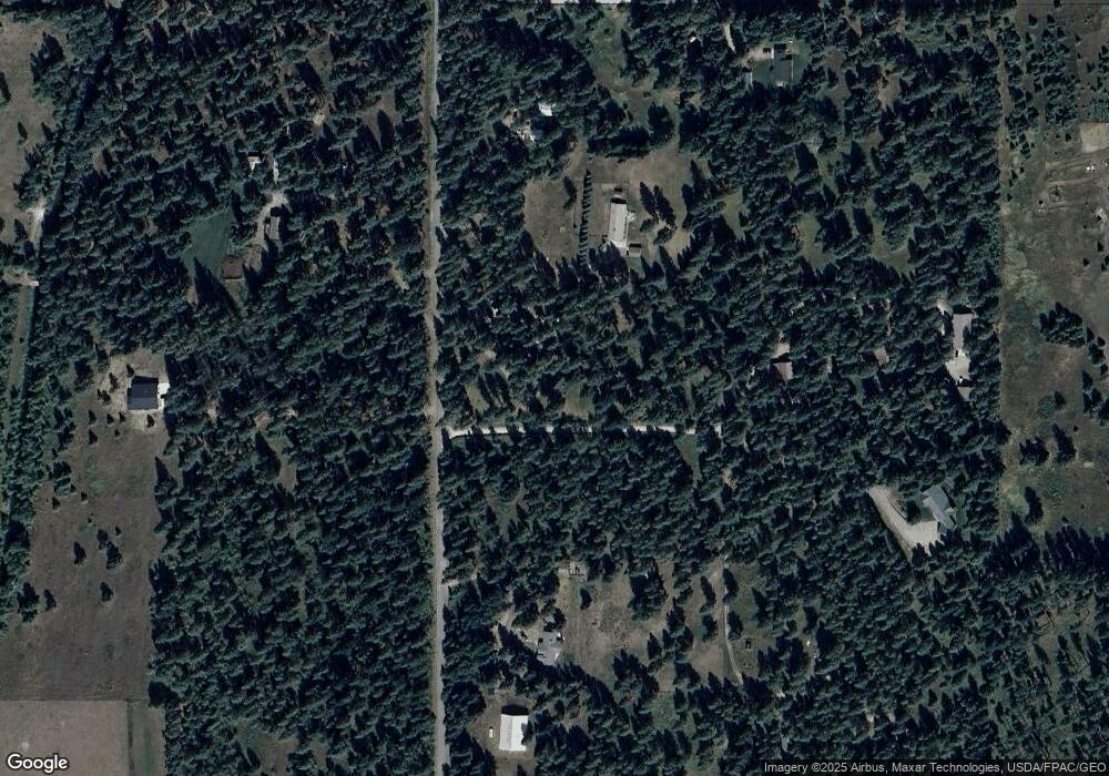
Map
Nearby Homes
- 42377 Windy Ridge Ln
- 41698 Canal Rd
- 41510 Canal Rd
- 32686 Snyder Hill Ln
- 33911 N Crow Rd
- 34746 Courville Trail
- 42420 Holt Ranch Ln
- 45003 N Foothills Dr
- 41157 Ponderosa Park Ln
- 35414 Courville Trail
- 35871 Warbler Dr
- 35901 Warbler Dr
- 41652 Us Highway 93 Frontage Rd Unit 2
- 41652 Us Highway 93 Frontage Rd Unit 3
- 41382 US Highway 93 Frontage Rd
- 1040 Round Butte Rd W Unit 34
- 40150 Enterprise Dr Unit Lot 32
- 40150 Enterprise Dr Unit Lot 31
- 40150 Enterprise Dr Unit Lot 73
- 40150 Enterprise Dr Unit Lot 60
- 42408 Canal Rd
- 4255 Canal Rd
- 4190 Canal Rd
- 42364 Canal Rd
- 42522 Canal Rd
- 42294 Canal Rd
- 42294 Canal Rd
- 42456 Canal Rd
- 42452 Canal Rd
- 4346 Canal Rd
- 42339 Windy Ridge Ln
- 42262 Windy Ridge Ln
- NKN Canal Rd
- 42678 Canal Rd
- 42277 Addy Ln
- 42718 Canal Rd
- 42477 Addy Ln
- 42761 Sky Ln
- NKN Windy Ridge Ln
- 42883 Canal Rd