4249 Hamill Dr Buford, GA 30519
Estimated Value: $377,000 - $479,000
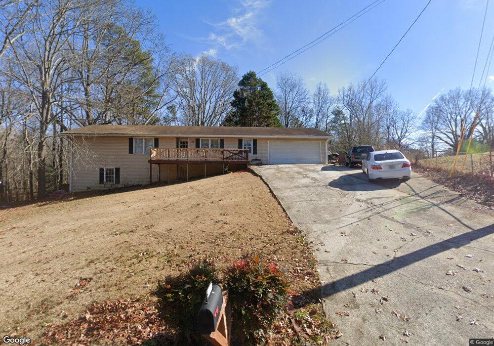
About This Home
This home is located at 4249 Hamill Dr, Buford, GA 30519 and is currently estimated at $427,932, approximately $226 per square foot. 4249 Hamill Dr is a home located in Gwinnett County with nearby schools including Buford Elementary School, Buford Senior Academy, and Buford Academy.
Ownership History
We collect this data history from publicly available records. To have your information removed, we recommend requesting removal directly through your county’s website.
Purchase Details
Home Financials for this Owner
Home Financials are based on the most recent Mortgage that was taken out on this home.Purchase Details
Home Values in the Area
Average Home Value in this Area
Purchase History
We collect this data history from publicly available records. To have your information removed, we recommend requesting removal directly through your county’s website.
| Date | Buyer | Sale Price | Title Company |
|---|---|---|---|
| $130,900 | -- | ||
| $112,000 | -- |
Mortgage History
We collect this data history from publicly available records. To have your information removed, we recommend requesting removal directly through your county’s website.
| Date | Status | Borrower | Loan Amount |
|---|---|---|---|
| Open | $129,826 | ||
| Closed | $0 |
Tax History
We collect this data history from publicly available records. To have your information removed, we recommend requesting removal directly through your county’s website.
| Year | Tax Paid | Tax Assessment Tax Assessment Total Assessment is a certain percentage of the fair market value that is determined by local assessors to be the total taxable value of land and additions on the property. | Land | Improvement |
|---|---|---|---|---|
| 2025 | $526 | $177,240 | $32,000 | $145,240 |
| 2024 | $526 | $151,640 | $26,000 | $125,640 |
| 2023 | $526 | $151,640 | $26,000 | $125,640 |
| 2022 | $526 | $131,840 | $20,000 | $111,840 |
| 2021 | $526 | $96,160 | $14,000 | $82,160 |
| 2020 | $526 | $96,160 | $14,000 | $82,160 |
| 2019 | $476 | $89,120 | $10,000 | $79,120 |
| 2018 | $476 | $89,120 | $10,000 | $79,120 |
| 2016 | $473 | $64,320 | $16,000 | $48,320 |
| 2015 | $491 | $64,320 | $16,000 | $48,320 |
| 2014 | -- | $64,320 | $16,000 | $48,320 |
Map
- 4256 Hamilton Mill Rd
- 4256 Alba Ln
- 2411 Thrasher Rd
- 4217 Alba Ln
- 2802 Lakeview Ct
- 2426 E Maddox Rd
- 4353 Old Hamilton Mill Rd
- 2398 E Maddox Rd
- 4017 S South Bogan Rd
- 2352 E Maddox Rd
- 2350 E Maddox Rd
- 4311 Autumn Lake Dr
- 3964 Hamilton Mill Rd
- 4023 Lost Oak Dr
- 2520 Heritage Ct
- 3944 Hamilton Mill Rd
- 2710 Blake Towers Ln
- 2219 Brickton Crossing
- 2551 E Maddox Rd
- 2969 N Bogan Rd NE
- 4239 Hamill Dr
- 4269 Hamill Dr
- 4258 Hamill Dr
- 4270 Hamill Dr
- 2533 Hamill Dr
- 4279 Hamill Dr
- 4259 Hamill Dr
- 4282 Hamill Dr
- 4270 E Hamill Dr
- 2555 Hamill Dr
- 4289 Hamill Dr
- 2578 Hamill Dr
- 2592 Hamill Dr
- 2598 Hamill Dr
- 2559 Hamill Dr
- 4201 Hamilton Mill Rd
- 2526 Hamill Dr
- 2563 Hamill Dr
- 2536 Hamill Dr
- 4299 Hamill Dr
Ask me questions while you tour the home.