4249 Holly Point Rd Edgewater, MD 21037
Estimated Value: $1,044,000 - $1,743,770
3
Beds
3
Baths
3,040
Sq Ft
$434/Sq Ft
Est. Value
About This Home
This home is located at 4249 Holly Point Rd, Edgewater, MD 21037 and is currently estimated at $1,320,443, approximately $434 per square foot. 4249 Holly Point Rd is a home located in Anne Arundel County with nearby schools including Mayo Elementary School, Central Middle School, and South River High School.
Ownership History
Date
Name
Owned For
Owner Type
Purchase Details
Closed on
Oct 1, 2020
Sold by
Landstra Robert Edward and Landstra Lisa Lynn
Bought by
Landstra Robert Edward and Landstra Lisa Lynn
Current Estimated Value
Purchase Details
Closed on
Nov 8, 2010
Sold by
Edwards W Donlon
Bought by
Landstra Robert E and Landstra Lisa L
Home Financials for this Owner
Home Financials are based on the most recent Mortgage that was taken out on this home.
Original Mortgage
$560,000
Outstanding Balance
$373,414
Interest Rate
4.48%
Mortgage Type
New Conventional
Estimated Equity
$947,029
Purchase Details
Closed on
Jul 15, 2005
Sold by
Wilkie Edith B
Bought by
Edwards W Donlon and Edwards Edith B
Create a Home Valuation Report for This Property
The Home Valuation Report is an in-depth analysis detailing your home's value as well as a comparison with similar homes in the area
Home Values in the Area
Average Home Value in this Area
Purchase History
| Date | Buyer | Sale Price | Title Company |
|---|---|---|---|
| Landstra Robert Edward | -- | None Available | |
| Landstra Robert E | $1,400,000 | -- | |
| Edwards W Donlon | -- | -- |
Source: Public Records
Mortgage History
| Date | Status | Borrower | Loan Amount |
|---|---|---|---|
| Open | Landstra Robert E | $560,000 |
Source: Public Records
Tax History Compared to Growth
Tax History
| Year | Tax Paid | Tax Assessment Tax Assessment Total Assessment is a certain percentage of the fair market value that is determined by local assessors to be the total taxable value of land and additions on the property. | Land | Improvement |
|---|---|---|---|---|
| 2025 | $11,543 | $1,120,133 | -- | -- |
| 2024 | $11,543 | $1,051,867 | $0 | $0 |
| 2023 | $11,215 | $983,600 | $658,500 | $325,100 |
| 2022 | $10,064 | $963,067 | $0 | $0 |
| 2021 | $20,559 | $942,533 | $0 | $0 |
| 2020 | $10,031 | $922,000 | $658,500 | $263,500 |
| 2019 | $10,041 | $922,000 | $658,500 | $263,500 |
| 2018 | $9,349 | $922,000 | $658,500 | $263,500 |
| 2017 | $12,330 | $1,172,400 | $0 | $0 |
| 2016 | -- | $1,172,400 | $0 | $0 |
| 2015 | -- | $1,172,400 | $0 | $0 |
| 2014 | -- | $1,173,500 | $0 | $0 |
Source: Public Records
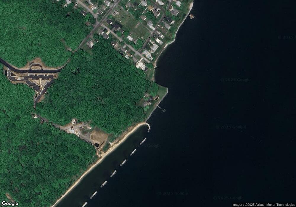
Map
Nearby Homes
- 1571 Lane Dr
- 1533 Wakefield Rd
- 1521 Warfield Rd
- 1407 (Lot 72) Old Ct
- Lot 71 Old Ct
- 1403 (Lot 70) Old Ct
- 1305 Dark Horse Ct
- 4180 Shoreham Beach Rd
- 1218 Pine Ave
- 0 Beverley Ave Unit MDAA2048610
- 305 A Lakeview Ave
- 1207 Bay View Ct
- 1410 Central Ave E
- 1261 Mayo Ridge Rd
- 1663 Cliff Dr
- 0 Mayo Rd Unit MDAA2113152
- 1055 Old Turkey Point Rd
- 3887 Cotter Dr
- 0 Old Turkey Point Rd
- 1027 Old Turkey Point Rd