425 5th St West Point, IA 52656
Estimated Value: $256,840 - $274,000
4
Beds
1
Bath
2,744
Sq Ft
$96/Sq Ft
Est. Value
About This Home
This home is located at 425 5th St, West Point, IA 52656 and is currently estimated at $263,210, approximately $95 per square foot. 425 5th St is a home with nearby schools including Fort Madison High School, Holy Trinity Catholic Elementary, and Holy Trinity Elementary.
Create a Home Valuation Report for This Property
The Home Valuation Report is an in-depth analysis detailing your home's value as well as a comparison with similar homes in the area
Home Values in the Area
Average Home Value in this Area
Tax History Compared to Growth
Tax History
| Year | Tax Paid | Tax Assessment Tax Assessment Total Assessment is a certain percentage of the fair market value that is determined by local assessors to be the total taxable value of land and additions on the property. | Land | Improvement |
|---|---|---|---|---|
| 2025 | $4,264 | $294,150 | $13,060 | $281,090 |
| 2024 | $4,264 | $239,880 | $13,060 | $226,820 |
| 2023 | $2,688 | $239,880 | $13,060 | $226,820 |
| 2022 | $2,350 | $148,210 | $13,060 | $135,150 |
| 2021 | $2,350 | $148,210 | $13,060 | $135,150 |
| 2020 | $2,502 | $149,340 | $13,840 | $135,500 |
| 2019 | $2,344 | $177,270 | $13,840 | $163,430 |
| 2018 | $2,418 | $138,600 | $0 | $0 |
| 2017 | $2,418 | $130,880 | $0 | $0 |
| 2016 | $2,186 | $130,880 | $0 | $0 |
| 2015 | $2,186 | $130,880 | $0 | $0 |
| 2014 | $2,106 | $130,880 | $0 | $0 |
Source: Public Records
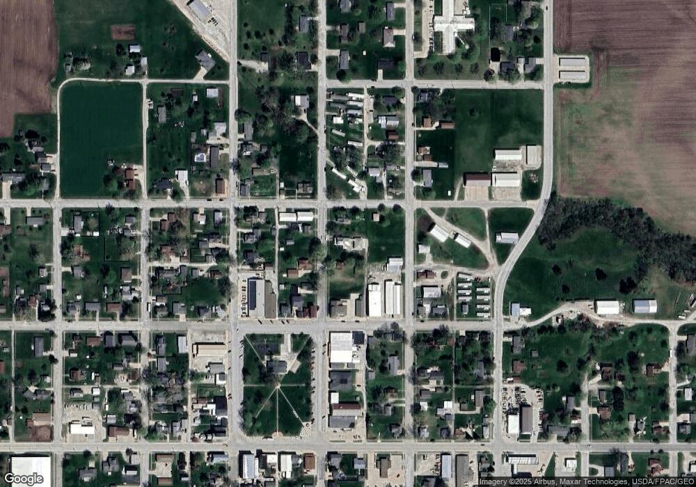
Map
Nearby Homes
- 53 5th St
- 2280 Windmill Way
- 2257 Burt Rd
- 2042 St Paul 2nd St
- 306 Franklin 5th St
- 809 Houston Ave
- 1794 150th St
- 0 Blues Highway & Bluff Rd
- 4991 Bluff Rd
- 2229 235th St
- 2078 290th Ave
- 2794 221st St
- 4601 River Bend Sub Lot 4
- 4945 Grand View Ln Unit 4945
- 6119 Reve Ct
- 2329 263rd Ave
- 00 180th St
- RR Woodland Heights Ct
- 1123 48th St Unit 20
- 0 N Hillview Vil