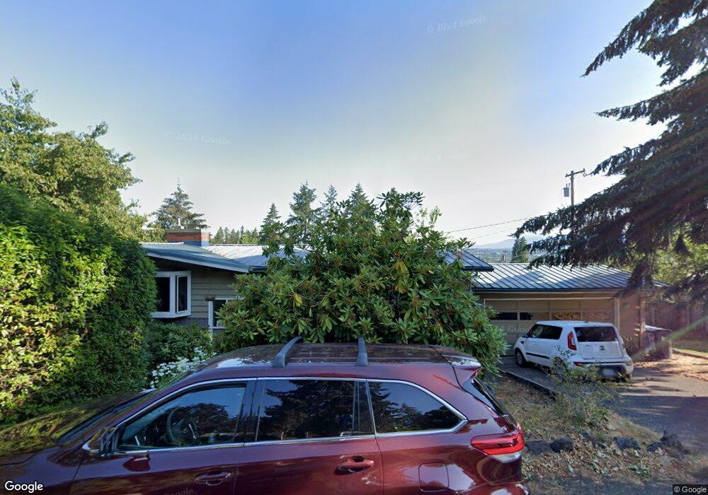
425 Fulvue Dr Eugene, OR 97405
Crest Drive NeighborhoodEstimated Value: $626,000 - $775,000
4
Beds
3
Baths
1,296
Sq Ft
$521/Sq Ft
Est. Value
About This Home
This home is located at 425 Fulvue Dr, Eugene, OR 97405 and is currently estimated at $674,581, approximately $520 per square foot. 425 Fulvue Dr is a home located in Lane County with nearby schools including Adams Elementary School, Spencer Butte Middle School, and South Eugene High School.
Ownership History
Date
Name
Owned For
Owner Type
Purchase Details
Closed on
Oct 7, 2003
Sold by
Borg James C and Borg Judith E
Bought by
Thomas Amie P and Thomas Jeremy J
Current Estimated Value
Home Financials for this Owner
Home Financials are based on the most recent Mortgage that was taken out on this home.
Original Mortgage
$160,000
Outstanding Balance
$73,779
Interest Rate
6.27%
Mortgage Type
Purchase Money Mortgage
Estimated Equity
$600,802
Create a Home Valuation Report for This Property
The Home Valuation Report is an in-depth analysis detailing your home's value as well as a comparison with similar homes in the area
Home Values in the Area
Average Home Value in this Area
Purchase History
| Date | Buyer | Sale Price | Title Company |
|---|---|---|---|
| Thomas Amie P | $200,000 | Western Pioneer Title Co |
Source: Public Records
Mortgage History
| Date | Status | Borrower | Loan Amount |
|---|---|---|---|
| Open | Thomas Amie P | $160,000 |
Source: Public Records
Tax History Compared to Growth
Tax History
| Year | Tax Paid | Tax Assessment Tax Assessment Total Assessment is a certain percentage of the fair market value that is determined by local assessors to be the total taxable value of land and additions on the property. | Land | Improvement |
|---|---|---|---|---|
| 2025 | $5,839 | $299,662 | -- | -- |
| 2024 | $5,766 | $290,934 | -- | -- |
| 2023 | $5,766 | $282,461 | $0 | $0 |
| 2022 | $5,402 | $274,234 | $0 | $0 |
| 2021 | $5,074 | $266,247 | $0 | $0 |
| 2020 | $5,091 | $258,493 | $0 | $0 |
| 2019 | $4,917 | $250,965 | $0 | $0 |
| 2018 | $4,629 | $236,559 | $0 | $0 |
| 2017 | $4,421 | $236,559 | $0 | $0 |
| 2016 | $4,312 | $229,669 | $0 | $0 |
| 2015 | $4,188 | $222,980 | $0 | $0 |
| 2014 | $4,103 | $216,485 | $0 | $0 |
Source: Public Records
Map
Nearby Homes
- 605 Fulvue Dr
- 0 Hidden Meadows
- 1 Storey Blvd
- 2 Storey Blvd
- 3820 Watkins Ln
- 3569 Willamette St
- 3854 Monroe St
- 3148 Willamette St
- 3160 Whitten Dr
- 806 Sundance St
- 4046 Normandy Way
- 3615 Donald St
- 4103 Brae Burn Dr
- 90 E 40th Ave
- 2905 Pearl St
- 170 E 40th Ave
- 4020 Pearl St
- 280 E 29th Ave
- 2747 Friendly Aly
- 434 E 39th Ave