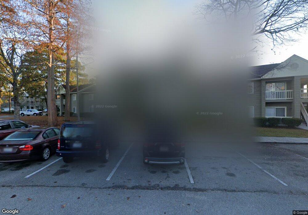
425 Myrtle Greens Dr Unit J Conway, SC 29526
Estimated Value: $104,000 - $128,000
1
Bed
1
Bath
754
Sq Ft
$150/Sq Ft
Est. Value
About This Home
This home is located at 425 Myrtle Greens Dr Unit J, Conway, SC 29526 and is currently estimated at $113,200, approximately $150 per square foot. 425 Myrtle Greens Dr Unit J is a home located in Horry County with nearby schools including Palmetto Bays Elementary School, Black Water Middle School, and Carolina Forest High School.
Ownership History
Date
Name
Owned For
Owner Type
Purchase Details
Closed on
Jul 10, 2024
Sold by
Gibbs Doyle W
Bought by
Gibbs Denister H
Current Estimated Value
Purchase Details
Closed on
Apr 23, 2001
Sold by
Malone Ron L
Bought by
Gibbs Doyle W
Home Financials for this Owner
Home Financials are based on the most recent Mortgage that was taken out on this home.
Original Mortgage
$51,300
Interest Rate
6.9%
Mortgage Type
Unknown
Purchase Details
Closed on
Jun 10, 1999
Sold by
Mitchael Kenan
Bought by
Malone Ron L
Purchase Details
Closed on
Apr 27, 1998
Sold by
Anastasi Joseph J
Bought by
Mitchell Kenan
Home Financials for this Owner
Home Financials are based on the most recent Mortgage that was taken out on this home.
Original Mortgage
$33,700
Interest Rate
7.03%
Mortgage Type
Purchase Money Mortgage
Create a Home Valuation Report for This Property
The Home Valuation Report is an in-depth analysis detailing your home's value as well as a comparison with similar homes in the area
Home Values in the Area
Average Home Value in this Area
Purchase History
| Date | Buyer | Sale Price | Title Company |
|---|---|---|---|
| Gibbs Denister H | -- | -- | |
| Gibbs Doyle W | $52,900 | -- | |
| Malone Ron L | $47,000 | -- | |
| Mitchell Kenan | $44,900 | -- |
Source: Public Records
Mortgage History
| Date | Status | Borrower | Loan Amount |
|---|---|---|---|
| Previous Owner | Gibbs Doyle W | $51,300 | |
| Previous Owner | Mitchell Kenan | $33,700 |
Source: Public Records
Tax History Compared to Growth
Tax History
| Year | Tax Paid | Tax Assessment Tax Assessment Total Assessment is a certain percentage of the fair market value that is determined by local assessors to be the total taxable value of land and additions on the property. | Land | Improvement |
|---|---|---|---|---|
| 2024 | $727 | $7,350 | $0 | $7,350 |
| 2023 | $727 | $5,250 | $0 | $5,250 |
| 2021 | $676 | $5,250 | $0 | $5,250 |
| 2020 | $610 | $5,250 | $0 | $5,250 |
| 2019 | $610 | $5,250 | $0 | $5,250 |
| 2018 | $0 | $4,200 | $0 | $4,200 |
| 2017 | $540 | $4,200 | $0 | $4,200 |
| 2016 | -- | $4,200 | $0 | $4,200 |
| 2015 | $540 | $1,600 | $0 | $1,600 |
| 2014 | $523 | $1,600 | $0 | $1,600 |
Source: Public Records
Map
Nearby Homes
- 480 Myrtle Greens Dr Unit G
- 650 Woodman Dr
- 300-J Myrtle Greens Dr Unit 300 J
- 804 Wylie Ct
- 412 Wellman Ct
- 419 Wellman Ct
- 150 Cart Crossing Dr Unit 103
- Lot 11 Professional Park Dr
- 208 Lander Dr
- 212 Lander Dr
- 8123 Timber Ridge Rd
- 221 Lander Dr
- 100 Willow Green Dr Unit A
- 891 Helms Way
- 206 Glenwood Dr
- 137 Hickory Dr
- 118 Clemson Rd
- 116 Hickory Dr
- 115 Hickory Dr Unit MB
- 827 Helms Way
- 425-B Myrtle Greens Dr
- 425 Myrtle Greens Dr Unit I
- 425 Myrtle Greens Dr Unit SINGLETON RIDGE ROAD
- 425 Myrtle Greens Dr Unit Myrtle Greens unit I
- 425 Myrtle Greens Dr Unit G
- 425 Myrtle Greens Dr Unit 425
- 425 Myrtle Greens Dr Unit H
- 425 Myrtle Greens Dr Unit E
- 425D Myrtle Greens Dr Unit 425D
- 425C Myrtle Greens Dr Unit 425C
- 425 Myrtle Greens Dr Unit A
- 425 Myrtle Greens Dr Unit B
- 425 Myrtle Greens Dr Unit C
- 425 Myrtle Greens Dr Unit A
- 425 Myrtle Greens Dr Unit H
- 425 Myrtle Greens Dr
- 425 Myrtle Greens Dr Unit I
- 425B Myrtle Greens Dr Unit 425B
- 395 Myrtle Greens Dr Unit 360G
- 395 Myrtle Greens Dr Unit 300F