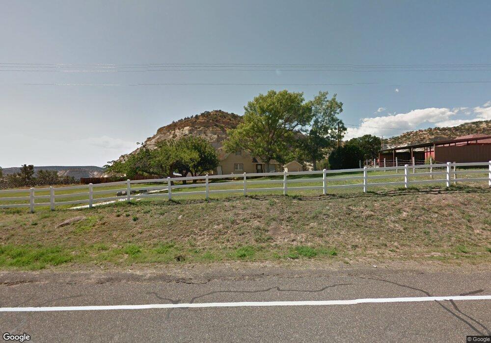
425 N Highway 12 Boulder, UT 84716
Estimated Value: $287,579 - $1,323,000
--
Bed
--
Bath
1,256
Sq Ft
$530/Sq Ft
Est. Value
About This Home
This home is located at 425 N Highway 12, Boulder, UT 84716 and is currently estimated at $665,895, approximately $530 per square foot. 425 N Highway 12 is a home.
Create a Home Valuation Report for This Property
The Home Valuation Report is an in-depth analysis detailing your home's value as well as a comparison with similar homes in the area
Home Values in the Area
Average Home Value in this Area
Tax History Compared to Growth
Tax History
| Year | Tax Paid | Tax Assessment Tax Assessment Total Assessment is a certain percentage of the fair market value that is determined by local assessors to be the total taxable value of land and additions on the property. | Land | Improvement |
|---|---|---|---|---|
| 2024 | $1,050 | $162,093 | $42,308 | $119,785 |
| 2023 | $887 | $116,676 | $36,631 | $80,045 |
| 2022 | $890 | $111,120 | $34,887 | $76,233 |
| 2021 | $950 | $111,120 | $34,887 | $76,233 |
| 2020 | $906 | $111,120 | $34,887 | $76,233 |
| 2019 | $571 | $111,120 | $34,887 | $76,233 |
| 2018 | $525 | $56,438 | $0 | $0 |
| 2017 | $465 | $56,440 | $0 | $0 |
| 2016 | $465 | $56,440 | $0 | $0 |
| 2015 | $481 | $56,440 | $0 | $0 |
| 2012 | $481 | $54,270 | $0 | $0 |
Source: Public Records
Map
Nearby Homes
- 30 N 400 E
- 301 E 1600 S
- 2405 S Lower Boulder Rd
- 2606 S Lower Boulder Rd
- 2277 E Broken Branch West Dr Unit 28
- 1345 S 1070 E
- 316 N Pinion Branch Dr N Unit 12B
- 1061 E Heritage Ln
- 416 E Main St
- 355 Utah 12
- 385 N 200 W
- 0 Parcel 11-002-0189 Highway 12
- 0 Parcel 11-0024-0189 Unit 25-264542
- 340 E 200 S
- 135 N 100 W
- 533 W 325 N
- 20 S 200 W
- 370 W 100 N
- 579 W 325 N
- 355 W Highway 12