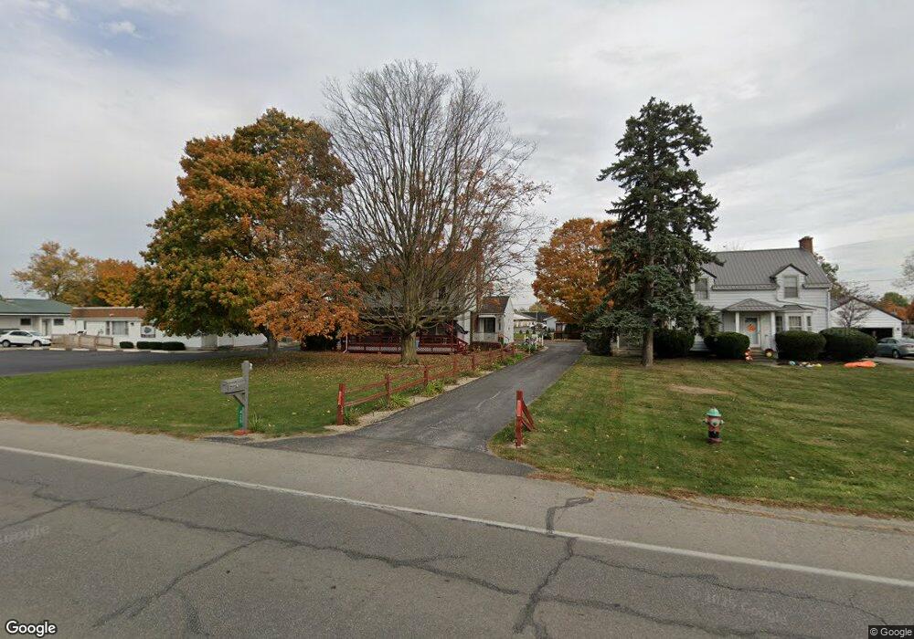
425 N Warpole St Upper Sandusky, OH 43351
Estimated Value: $191,000 - $264,000
4
Beds
2
Baths
2,076
Sq Ft
$113/Sq Ft
Est. Value
About This Home
This home is located at 425 N Warpole St, Upper Sandusky, OH 43351 and is currently estimated at $233,899, approximately $112 per square foot. 425 N Warpole St is a home located in Wyandot County with nearby schools including Upper Sandusky High School and St. Peter Elementary School.
Ownership History
Date
Name
Owned For
Owner Type
Purchase Details
Closed on
Jan 4, 2021
Sold by
Boerger Dean and Summers Robin
Bought by
Boerger Darren R and Boerger Darren R
Current Estimated Value
Home Financials for this Owner
Home Financials are based on the most recent Mortgage that was taken out on this home.
Original Mortgage
$120,176
Outstanding Balance
$107,257
Interest Rate
2.71%
Mortgage Type
VA
Estimated Equity
$126,642
Purchase Details
Closed on
Aug 15, 2017
Sold by
Estate Of Robert Donald Boerger C and Boerger Robert D
Bought by
Boerger Dean and Boerger Daren
Create a Home Valuation Report for This Property
The Home Valuation Report is an in-depth analysis detailing your home's value as well as a comparison with similar homes in the area
Home Values in the Area
Average Home Value in this Area
Purchase History
| Date | Buyer | Sale Price | Title Company |
|---|---|---|---|
| Boerger Darren R | $106,000 | None Available | |
| Boerger Dean | -- | None Available |
Source: Public Records
Mortgage History
| Date | Status | Borrower | Loan Amount |
|---|---|---|---|
| Open | Boerger Darren R | $120,176 |
Source: Public Records
Tax History Compared to Growth
Tax History
| Year | Tax Paid | Tax Assessment Tax Assessment Total Assessment is a certain percentage of the fair market value that is determined by local assessors to be the total taxable value of land and additions on the property. | Land | Improvement |
|---|---|---|---|---|
| 2024 | $1,686 | $52,990 | $6,450 | $46,540 |
| 2023 | $1,686 | $52,990 | $6,450 | $46,540 |
| 2022 | $1,686 | $46,010 | $5,860 | $40,150 |
| 2021 | $1,533 | $46,010 | $5,860 | $40,150 |
| 2020 | $1,518 | $45,590 | $5,860 | $39,730 |
| 2019 | $1,516 | $45,590 | $5,860 | $39,730 |
| 2018 | $1,324 | $40,580 | $4,890 | $35,690 |
| 2017 | $1,055 | $40,580 | $4,890 | $35,690 |
| 2016 | -- | $40,580 | $4,890 | $35,690 |
| 2015 | -- | $37,170 | $4,890 | $32,280 |
| 2014 | -- | $37,170 | $4,890 | $32,280 |
| 2013 | -- | $37,170 | $4,890 | $32,280 |
Source: Public Records
Map
Nearby Homes
- 421 N Warpole St
- 417 N Warpole St
- 532 N Hazel St
- 435 N Warpole St
- 530 N Hazel St
- 530 1/2 N Hazel St
- 533 W Church St
- 537 W Church St
- 527 W Church St
- 401 N Warpole St
- 401 N Warpole St
- 401 N Warpole St
- 505 W Church St
- 401 Warpole St (Showrm)
- 510 N Hazel St
- 520 Guthrie (Up)
- 520 Guthrie (Low)
- 520 W Guthrie Dr
- 520 W Guthrie Dr
- 514 W Guthrie Dr