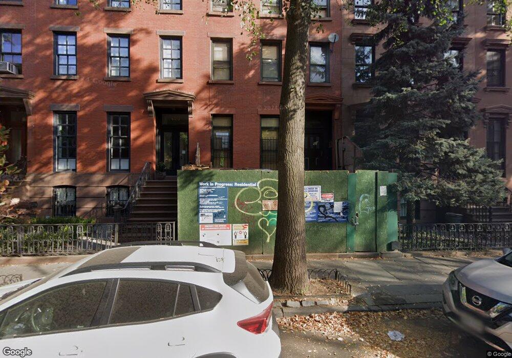
425 Pacific St Brooklyn, NY 11217
Boerum Hill NeighborhoodEstimated Value: $3,481,000 - $4,869,545
5
Beds
5
Baths
880
Sq Ft
$4,997/Sq Ft
Est. Value
About This Home
This home is located at 425 Pacific St, Brooklyn, NY 11217 and is currently estimated at $4,397,636, approximately $4,997 per square foot. 425 Pacific St is a home located in Kings County with nearby schools including P.S. 38 The Pacific School, Brooklyn Heights Montessori School, and Hanson Place Elementary School.
Ownership History
Date
Name
Owned For
Owner Type
Purchase Details
Closed on
Apr 6, 2017
Sold by
Mclaughlin William
Bought by
425 Pacific Corp
Current Estimated Value
Home Financials for this Owner
Home Financials are based on the most recent Mortgage that was taken out on this home.
Original Mortgage
$2,000,000
Outstanding Balance
$1,662,018
Interest Rate
4.16%
Mortgage Type
Purchase Money Mortgage
Estimated Equity
$2,735,618
Create a Home Valuation Report for This Property
The Home Valuation Report is an in-depth analysis detailing your home's value as well as a comparison with similar homes in the area
Home Values in the Area
Average Home Value in this Area
Purchase History
| Date | Buyer | Sale Price | Title Company |
|---|---|---|---|
| 425 Pacific Corp | $2,850,000 | -- |
Source: Public Records
Mortgage History
| Date | Status | Borrower | Loan Amount |
|---|---|---|---|
| Open | 425 Pacific Corp | $2,000,000 |
Source: Public Records
Tax History
| Year | Tax Paid | Tax Assessment Tax Assessment Total Assessment is a certain percentage of the fair market value that is determined by local assessors to be the total taxable value of land and additions on the property. | Land | Improvement |
|---|---|---|---|---|
| 2025 | $9,672 | $258,660 | $32,580 | $226,080 |
| 2024 | $9,672 | $258,660 | $32,580 | $226,080 |
| 2023 | $9,255 | $269,400 | $33,960 | $235,440 |
| 2022 | $8,583 | $245,940 | $33,960 | $211,980 |
| 2021 | $8,596 | $228,660 | $33,960 | $194,700 |
| 2019 | $8,394 | $234,000 | $33,960 | $200,040 |
| 2018 | $7,444 | $37,977 | $5,956 | $32,021 |
| 2017 | $7,004 | $35,830 | $5,013 | $30,817 |
| 2016 | $6,495 | $34,038 | $6,430 | $27,608 |
| 2015 | $3,857 | $34,038 | $7,515 | $26,523 |
| 2014 | $3,857 | $33,440 | $8,830 | $24,610 |
Source: Public Records
Map
Nearby Homes
- 229 Dean St
- 227 Dean St
- 467 Pacific St Unit 10
- 467 Pacific St Unit 22
- 457 Atlantic Ave Unit 2A
- 232 Bergen St
- 270 Dean St
- 156 Nevins St
- 231 Wyckoff St
- 413 State St Unit 4
- 207 Wyckoff St Unit 2
- 379 Atlantic Ave
- 164 Bond St Unit 2B
- 183 Wyckoff St
- 289 Schermerhorn St Unit 5C
- 289 Schermerhorn St Unit 5G
- 289 Schermerhorn St Unit 11C
- 289 Schermerhorn St Unit 10A
- 289 Schermerhorn St Unit 11E
- 289 Schermerhorn St Unit 8F
- 427 Pacific St
- 427 Pacific St Unit 2
- 423 Pacific St Unit SI ID1459281P
- 423 Pacific St Unit ID1459281P
- 423 Pacific St
- 421 Pacific St
- 421 Pacific St Unit 2
- 421 Pacific St Unit 1
- 429 Pacific St
- 429 Pacific St Unit 2
- 431 Pacific St
- 419 Pacific St
- 417 Pacific St
- 433 Pacific St
- 433 Pacific St Unit 2
- 438 Atlantic Ave Unit 1
- 438 Atlantic Ave Unit 3A
- 415 Pacific St
- 435 Pacific St
- 436 Atlantic Ave
Your Personal Tour Guide
Ask me questions while you tour the home.