Estimated Value: $3,591,413 - $5,575,000
4
Beds
4
Baths
4,705
Sq Ft
$917/Sq Ft
Est. Value
About This Home
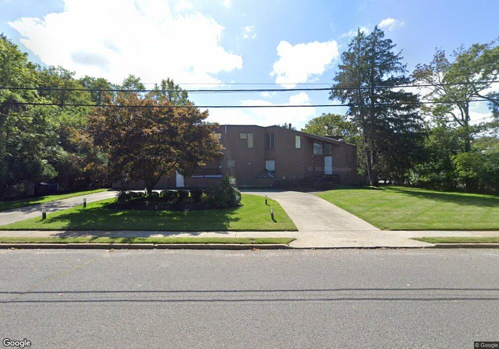
This home is located at 425 Sherman Ave, Deal, NJ 07723 and is currently estimated at $4,316,138, approximately $917 per square foot. 425 Sherman Ave is a home located in Monmouth County with nearby schools including Ocean Township High School, St. Mary of the Assumption School, and Ma'or Yeshiva High School for Boys.
Ownership History
Date
Name
Owned For
Owner Type
Purchase Details
Closed on
Mar 30, 2016
Sold by
Levy Ronnie and Levy Galit
Bought by
Tbeile Isaac and Tbeile Melissa
Current Estimated Value
Purchase Details
Closed on
Apr 29, 2008
Sold by
Mizrahi Valerie V
Bought by
Levy Ronnie and Levy Galit
Home Financials for this Owner
Home Financials are based on the most recent Mortgage that was taken out on this home.
Original Mortgage
$952,000
Interest Rate
6.25%
Mortgage Type
Purchase Money Mortgage
Create a Home Valuation Report for This Property
The Home Valuation Report is an in-depth analysis detailing your home's value as well as a comparison with similar homes in the area
Home Values in the Area
Average Home Value in this Area
Purchase History
| Date | Buyer | Sale Price | Title Company |
|---|---|---|---|
| Tbeile Isaac | $1,250,000 | Stewart Title Guaranty | |
| Levy Ronnie | $1,360,000 | Stewart Title Guaranty Co |
Source: Public Records
Mortgage History
| Date | Status | Borrower | Loan Amount |
|---|---|---|---|
| Previous Owner | Levy Ronnie | $952,000 |
Source: Public Records
Tax History Compared to Growth
Tax History
| Year | Tax Paid | Tax Assessment Tax Assessment Total Assessment is a certain percentage of the fair market value that is determined by local assessors to be the total taxable value of land and additions on the property. | Land | Improvement |
|---|---|---|---|---|
| 2025 | $43,610 | $3,333,100 | $2,361,600 | $971,500 |
| 2024 | $39,459 | $3,058,200 | $2,161,600 | $896,600 |
| 2023 | $39,459 | $2,580,700 | $1,811,600 | $769,100 |
| 2022 | $36,081 | $2,448,700 | $1,716,400 | $732,300 |
| 2021 | $36,081 | $1,836,200 | $1,235,600 | $600,600 |
| 2020 | $30,634 | $1,538,600 | $990,400 | $548,200 |
| 2019 | $29,270 | $1,435,500 | $890,400 | $545,100 |
| 2018 | $28,271 | $1,350,100 | $830,400 | $519,700 |
| 2017 | $26,252 | $1,248,300 | $715,400 | $532,900 |
| 2016 | $25,559 | $1,093,200 | $562,600 | $530,600 |
| 2015 | $24,926 | $1,079,500 | $562,600 | $516,900 |
| 2014 | $24,653 | $1,082,200 | $593,900 | $488,300 |
Source: Public Records
Map
Nearby Homes
- 460 Runyan Ave
- 1 Country Club Dr
- 408 Crosby Ave
- 504 Crosby Ave
- 404 Brookside Ave
- 243 Woodcrest Rd
- 306 Roosevelt Ave
- 408 Deal Rd
- 35 Shadow Lawn Dr
- 0 Overbrook Ave
- 210 Larchwood Ave
- 296 Garfield Ave
- 10 Campbell Ct
- 227 Chatham Ave
- 8 Ross Ct
- 116 Phillips Ave
- 267 Roosevelt Ave
- 328 Elberon Blvd
- 409 Wells Ave
- 216 Chatham Ave
- 424 Parker Ave
- 418 Parker Ave
- 304 Monmouth Rd
- 304 Monmouth Rd Unit Annual
- 304 Monmouth Rd Unit Winter
- 410 Sherman Ave
- 414 Parker Ave
- 406 Sherman Ave
- 302 Monmouth Rd
- 411 Sheridan Ave
- 425 Parker Ave
- 419 Parker Ave
- 300 Monmouth Rd
- 409 Grant Ave
- 400 Parker Ave
- 402 Sherman Ave
- 415 Parker Ave
- 407 Grant Ave
- 500 Parker Ave
- 600 Parker Ave