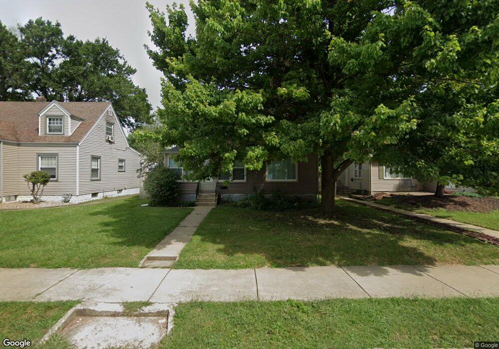
425 W Mulberry St Kankakee, IL 60901
Estimated Value: $104,000 - $194,634
3
Beds
2
Baths
1,700
Sq Ft
$82/Sq Ft
Est. Value
About This Home
This home is located at 425 W Mulberry St, Kankakee, IL 60901 and is currently estimated at $139,659, approximately $82 per square foot. 425 W Mulberry St is a home located in Kankakee County with nearby schools including Kennedy Middle Grade School, Kankakee Junior High School, and Kankakee High School.
Ownership History
Date
Name
Owned For
Owner Type
Purchase Details
Closed on
Sep 22, 2023
Sold by
Cobb Rentals Llc
Bought by
Cedar Property Group Llc
Current Estimated Value
Home Financials for this Owner
Home Financials are based on the most recent Mortgage that was taken out on this home.
Original Mortgage
$104,564
Interest Rate
6.55%
Mortgage Type
Credit Line Revolving
Purchase Details
Closed on
Sep 3, 2015
Sold by
Sample Michael W
Bought by
Cobb Rentals Llc
Create a Home Valuation Report for This Property
The Home Valuation Report is an in-depth analysis detailing your home's value as well as a comparison with similar homes in the area
Home Values in the Area
Average Home Value in this Area
Purchase History
| Date | Buyer | Sale Price | Title Company |
|---|---|---|---|
| Cedar Property Group Llc | $81,840 | Old Republic Title | |
| Cobb Rentals Llc | $240,000 | Homestar Title |
Source: Public Records
Mortgage History
| Date | Status | Borrower | Loan Amount |
|---|---|---|---|
| Closed | Cedar Property Group Llc | $104,564 |
Source: Public Records
Tax History Compared to Growth
Tax History
| Year | Tax Paid | Tax Assessment Tax Assessment Total Assessment is a certain percentage of the fair market value that is determined by local assessors to be the total taxable value of land and additions on the property. | Land | Improvement |
|---|---|---|---|---|
| 2024 | $4,722 | $39,937 | $4,931 | $35,006 |
| 2023 | $4,549 | $35,579 | $4,393 | $31,186 |
| 2022 | $4,232 | $31,141 | $3,845 | $27,296 |
| 2021 | $3,994 | $28,182 | $3,480 | $24,702 |
| 2020 | $3,705 | $25,332 | $3,128 | $22,204 |
| 2019 | $3,531 | $23,565 | $2,910 | $20,655 |
| 2018 | $3,400 | $21,819 | $2,694 | $19,125 |
| 2017 | $3,808 | $21,339 | $2,635 | $18,704 |
| 2016 | $3,569 | $20,920 | $2,583 | $18,337 |
| 2015 | $3,447 | $21,347 | $2,636 | $18,711 |
| 2014 | $3,496 | $22,471 | $2,636 | $19,835 |
| 2013 | -- | $26,008 | $2,746 | $23,262 |
Source: Public Records
Map
Nearby Homes
- 428 W Williams St
- 731 N 5th Ave
- 550 Henry St
- 846 N 5th Ave
- 971 N Cleveland Ave
- 700 N 8th Ave
- 863 W Williams St
- 356 W Cypress St
- 618 N 9th Ave
- 393 N 6th Ave
- 373 N Adams St
- 458 N Washington Ave
- 556 N 10th Ave
- 312 N 5th Ave
- 245 N 6th Ave
- 665 N Kennedy Dr
- 1149 W Wilson Dr
- 945 Stone St
- 1133 W Wilson Dr
- 555 W Brookmont Blvd
- 379 W Mulberry St
- 473 W Mulberry St
- 375 W Mulberry St
- 485 W Mulberry St
- 474 W Mulberry St
- 369 W Mulberry St
- 460 W Williams St
- 470 W Williams St
- 480 W Mulberry St
- 450 W Williams St
- 476 W Williams St
- 396 W Mulberry St
- 442 W Williams St
- 482 W Williams St
- 388 W Mulberry St
- 495 W Mulberry St
- 359 W Mulberry St
- 378 W Mulberry St
- 434 W Williams St
- 488 W Williams St