4250 Independence Dr Schnecksville, PA 18078
North Whitehall Township Neighborhood
--
Bed
--
Bath
14,796
Sq Ft
4.15
Acres
About This Home
This home is located at 4250 Independence Dr, Schnecksville, PA 18078. 4250 Independence Dr is a home located in Lehigh County with nearby schools including Tussing Elementary School, Schnecksville School, and Colonial Heights Middle School.
Ownership History
Date
Name
Owned For
Owner Type
Purchase Details
Closed on
Jun 29, 2017
Sold by
The Divers Group Llc
Bought by
Pp & L Sustainable Energy Fund
Purchase Details
Closed on
Jul 12, 2004
Sold by
Western Lehigh Valley Corp
Bought by
The Divers Group Llc
Home Financials for this Owner
Home Financials are based on the most recent Mortgage that was taken out on this home.
Original Mortgage
$192,000
Interest Rate
6.25%
Mortgage Type
Purchase Money Mortgage
Purchase Details
Closed on
Oct 25, 1988
Bought by
Western Lehigh Valley Corp
Create a Home Valuation Report for This Property
The Home Valuation Report is an in-depth analysis detailing your home's value as well as a comparison with similar homes in the area
Home Values in the Area
Average Home Value in this Area
Purchase History
| Date | Buyer | Sale Price | Title Company |
|---|---|---|---|
| Pp & L Sustainable Energy Fund | $403,520 | None Available | |
| The Divers Group Llc | $240,000 | -- | |
| Western Lehigh Valley Corp | $613,000 | -- |
Source: Public Records
Mortgage History
| Date | Status | Borrower | Loan Amount |
|---|---|---|---|
| Previous Owner | The Divers Group Llc | $192,000 |
Source: Public Records
Tax History Compared to Growth
Tax History
| Year | Tax Paid | Tax Assessment Tax Assessment Total Assessment is a certain percentage of the fair market value that is determined by local assessors to be the total taxable value of land and additions on the property. | Land | Improvement |
|---|---|---|---|---|
| 2025 | $24,531 | $1,105,000 | $374,100 | $730,900 |
| 2024 | $23,072 | $1,105,000 | $374,100 | $730,900 |
| 2023 | $22,409 | $1,105,000 | $374,100 | $730,900 |
| 2022 | $22,310 | $1,105,000 | $730,900 | $374,100 |
| 2021 | $22,310 | $1,105,000 | $374,100 | $730,900 |
| 2020 | $7,553 | $374,100 | $374,100 | $0 |
| 2019 | $7,355 | $374,100 | $374,100 | $0 |
| 2018 | $7,209 | $374,100 | $374,100 | $0 |
| 2017 | $7,104 | $374,100 | $374,100 | $0 |
| 2016 | -- | $374,100 | $374,100 | $0 |
| 2015 | -- | $374,100 | $374,100 | $0 |
| 2014 | -- | $374,100 | $374,100 | $0 |
Source: Public Records
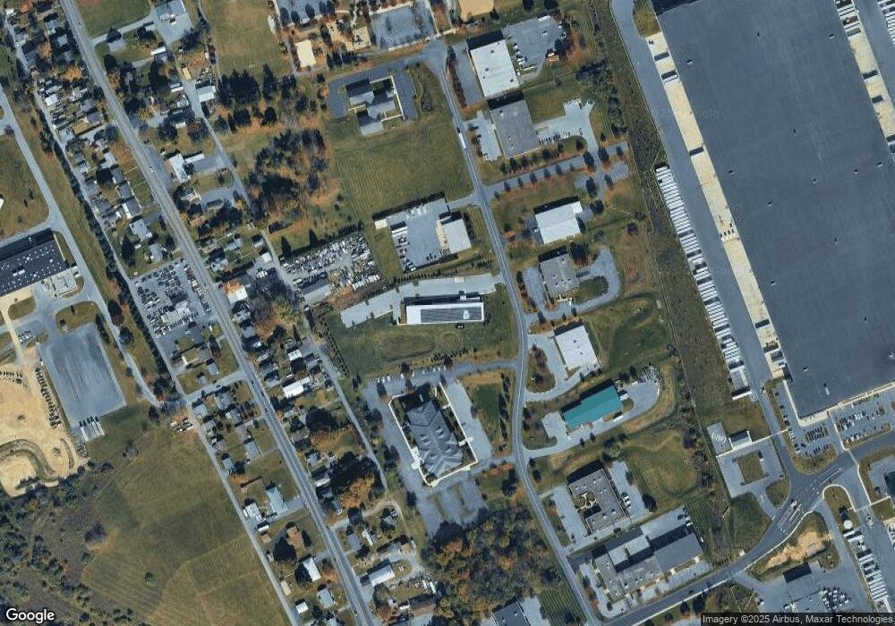
Map
Nearby Homes
- 4705 Colleen Dr
- 3746 Apple Rd
- 3739 Lindy Dr
- 3486 Lil Wolf Dr
- 4408 Valley Green Dr
- 4220 Panther Ct
- 5016 Shawnee Blvd
- 3461 Wolf Pack Dr
- 4482 Valley Green Dr Unit 37
- 4473 Valley Green Dr Unit 38
- 4748 York Dr
- 5153 Shawnee Blvd
- 5033 Ancinetta Dr
- 3360 Woodlea Rd
- 5148 Pennsylvania 873
- 3450 George St Unit 8
- 5191 Cassidy Dr
- 3462 George St Unit 6
- 3444 George St Unit 9
- 3456 George St Unit 7
- 4250 Independence Dr Unit 7
- 4250 Independence Dr Unit 7
- 4239 Route 309
- 4227 Pa Route 309
- 4243 Route 309
- 4247 Route 309
- 4235 Pennsylvania 309
- 4235 Route 309
- 4251 Route 309
- 4231 Route 309
- 4253 Route 309
- 4253 Pennsylvania 309
- 4307 Route 309
- 4227 Route 309
- 4311 Route 309
- 4223 Route 309
- 4219 Route 309
- 4215 Route 309
- 4319 Route 309
- 4240 Route 309