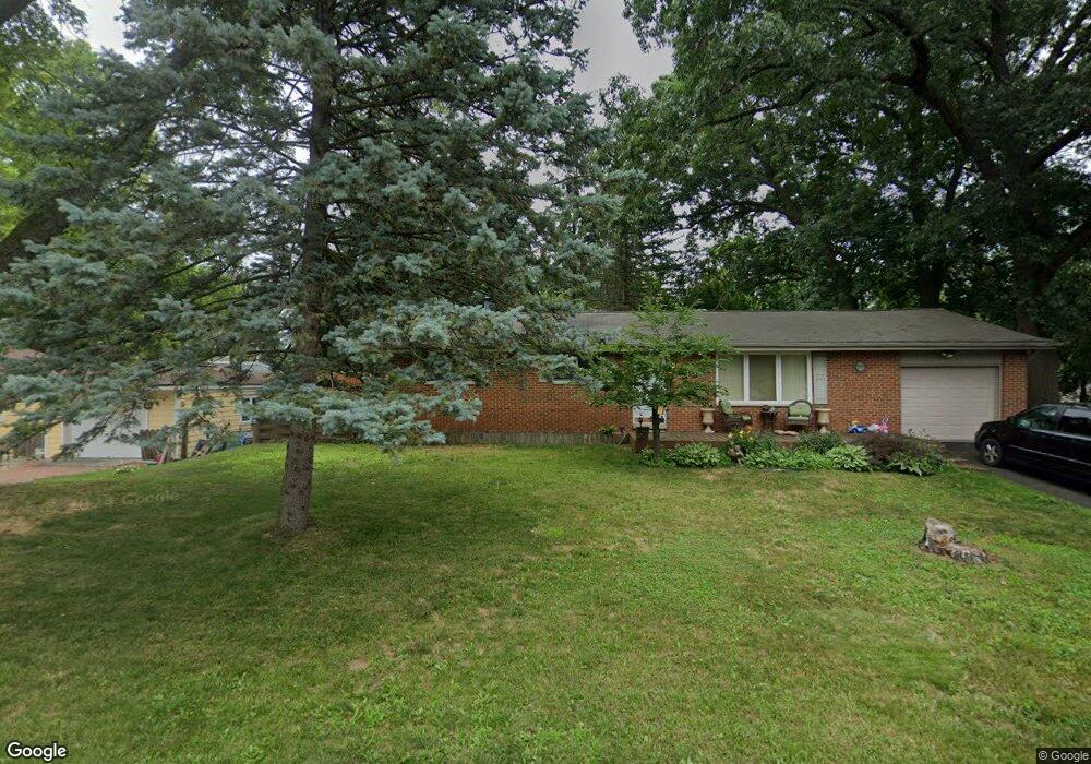
4251 Crestdale Ave West Bloomfield, MI 48323
Estimated Value: $242,000 - $290,000
3
Beds
2
Baths
1,130
Sq Ft
$238/Sq Ft
Est. Value
About This Home
This home is located at 4251 Crestdale Ave, West Bloomfield, MI 48323 and is currently estimated at $268,436, approximately $237 per square foot. 4251 Crestdale Ave is a home located in Oakland County with nearby schools including Walled Lake Central High School, Our Lady Of Refuge School, and Frankel Jewish Academy Of Metro Detroit.
Ownership History
Date
Name
Owned For
Owner Type
Purchase Details
Closed on
Apr 25, 2014
Sold by
Ankofski James A
Bought by
Hardin Jonathon and Hardin Katherine
Current Estimated Value
Home Financials for this Owner
Home Financials are based on the most recent Mortgage that was taken out on this home.
Original Mortgage
$112,100
Outstanding Balance
$85,433
Interest Rate
4.33%
Mortgage Type
New Conventional
Estimated Equity
$183,003
Purchase Details
Closed on
Oct 21, 2010
Sold by
Tyler Robert Alvin and Maul Margaret M
Bought by
Ankofski James
Create a Home Valuation Report for This Property
The Home Valuation Report is an in-depth analysis detailing your home's value as well as a comparison with similar homes in the area
Home Values in the Area
Average Home Value in this Area
Purchase History
| Date | Buyer | Sale Price | Title Company |
|---|---|---|---|
| Hardin Jonathon | $118,000 | None Available | |
| Ankofski James | -- | Interstate Title Inc |
Source: Public Records
Mortgage History
| Date | Status | Borrower | Loan Amount |
|---|---|---|---|
| Open | Hardin Jonathon | $112,100 |
Source: Public Records
Tax History Compared to Growth
Tax History
| Year | Tax Paid | Tax Assessment Tax Assessment Total Assessment is a certain percentage of the fair market value that is determined by local assessors to be the total taxable value of land and additions on the property. | Land | Improvement |
|---|---|---|---|---|
| 2024 | $1,442 | $106,860 | $0 | $0 |
| 2022 | $1,359 | $87,340 | $27,050 | $60,290 |
| 2021 | $2,235 | $84,550 | $0 | $0 |
| 2020 | $1,344 | $83,170 | $27,050 | $56,120 |
| 2018 | $2,177 | $71,830 | $22,550 | $49,280 |
| 2015 | -- | $59,590 | $0 | $0 |
| 2014 | -- | $54,470 | $0 | $0 |
| 2011 | -- | $47,620 | $0 | $0 |
Source: Public Records
Map
Nearby Homes
- 4245 Bunker Ave
- 4335 Crestdale Ave
- 4212 Greendale Ave
- 7337 Richardson Rd
- 6978 Colony Dr
- 7381 Crestmore St
- 4442 Borland St
- 6903 Dandison Blvd
- 3991 Fieldview Ave
- 6980 Hambro St
- 4066 Green Lake Rd
- 3965 Carrick Ave
- 7359 Woodlore Dr
- 0000 Langtoft
- 6675 Langtoft St
- 3950 Bradmore Ave
- 6768 Buckland Ave
- 4540 Rolling Pine Ct
- 3632 Fieldview Ave
- 7369 Sweetbriar
- 4231 Crestdale Ave
- 4250 Middledale Ave
- 4242 Middledale Ave
- 4277 Crestdale Ave
- 4240 Crestdale Ave Unit Bldg-Unit
- 4240 Crestdale Ave
- 7121 Richardson Rd
- 4272 Middledale Ave Unit Bldg-Unit
- 4272 Middledale Ave
- 4234 Crestdale Ave
- 4262 Crestdale Ave
- 4254 Crestdale Ave
- 4291 Crestdale Ave
- 7165 Richardson Rd
- 4306 Middledale Ave
- 7071 Richardson Rd
- 4265 Middledale Ave
- 4303 Crestdale Ave
- 4265 Bunker Ave
- 7065 Richardson Rd