4254 Pinehurst Cir Stockton, CA 95219
Brookside NeighborhoodEstimated Value: $542,000 - $756,000
4
Beds
2
Baths
2,061
Sq Ft
$315/Sq Ft
Est. Value
About This Home
This home is located at 4254 Pinehurst Cir, Stockton, CA 95219 and is currently estimated at $649,007, approximately $314 per square foot. 4254 Pinehurst Cir is a home located in San Joaquin County with nearby schools including Brookside, Sierra Middle School, and Lincoln High School.
Ownership History
Date
Name
Owned For
Owner Type
Purchase Details
Closed on
Nov 7, 2016
Sold by
Talley Edwin T and Talley Suzanne B
Bought by
Talley Edwin Theodore and Talley Suzanne Beth
Current Estimated Value
Purchase Details
Closed on
Jun 7, 1996
Sold by
Grupe Development Associates
Bought by
Talley Edwin T and Talley Suzanne B
Home Financials for this Owner
Home Financials are based on the most recent Mortgage that was taken out on this home.
Original Mortgage
$171,200
Outstanding Balance
$10,948
Interest Rate
8.01%
Estimated Equity
$638,059
Create a Home Valuation Report for This Property
The Home Valuation Report is an in-depth analysis detailing your home's value as well as a comparison with similar homes in the area
Home Values in the Area
Average Home Value in this Area
Purchase History
| Date | Buyer | Sale Price | Title Company |
|---|---|---|---|
| Talley Edwin Theodore | -- | None Available | |
| Talley Edwin T | $216,000 | Chicago Title Co |
Source: Public Records
Mortgage History
| Date | Status | Borrower | Loan Amount |
|---|---|---|---|
| Open | Talley Edwin T | $171,200 |
Source: Public Records
Tax History
| Year | Tax Paid | Tax Assessment Tax Assessment Total Assessment is a certain percentage of the fair market value that is determined by local assessors to be the total taxable value of land and additions on the property. | Land | Improvement |
|---|---|---|---|---|
| 2025 | $4,384 | $358,332 | $91,361 | $266,971 |
| 2024 | $4,288 | $351,307 | $89,570 | $261,737 |
| 2023 | $4,248 | $344,419 | $87,814 | $256,605 |
| 2022 | $3,974 | $337,667 | $86,093 | $251,574 |
| 2021 | $3,916 | $331,047 | $84,405 | $246,642 |
| 2020 | $3,925 | $327,653 | $83,540 | $244,113 |
| 2019 | $3,859 | $321,229 | $81,902 | $239,327 |
| 2018 | $3,794 | $314,932 | $80,297 | $234,635 |
| 2017 | $3,720 | $308,758 | $78,723 | $230,035 |
| 2016 | $3,677 | $302,704 | $77,179 | $225,525 |
| 2014 | $3,581 | $292,320 | $74,532 | $217,788 |
Source: Public Records
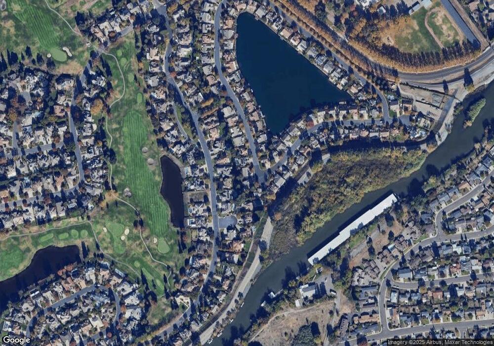
Map
Nearby Homes
- 4240 Pinehurst Cir
- 4239 Saint Andrews Dr
- 4224 Pinehurst Cir
- 3621 de Ovan Ave
- 3011 de Ovan Ave
- 3865 Gleneagles Dr
- 2903 Raintree Ct
- 3469 W Euclid Ave
- 3425 Kirk Ave
- 3005 W Euclid Ave
- 4368 Boulder Creek Cir
- 2926 Snowbrook Ct
- 4135 Boulder Creek Cir
- 3627 Saint Andrews Dr Unit 4
- 2755 Inman Ave
- 3112 Wendell Ave
- 3607 Crystal Tree Ct
- 2754 Country Club Ct
- 3635 Country Club Blvd
- 2540 Rosemarie Ln
- 4256 Pinehurst Cir
- 4252 Pinehurst Cir
- 4334 Saint Andrews Dr
- 4258 Pinehurst Cir
- 4340 Saint Andrews Dr
- 4247 Pinehurst Cir
- 4250 Pinehurst Cir
- 4328 Saint Andrews Dr
- 4346 Saint Andrews Dr
- 4259 Pinehurst Cir
- 4260 Pinehurst Cir
- 4248 Pinehurst Cir
- 4243 Pinehurst Cir
- 4364 Saint Andrews Dr
- 4246 Pinehurst Cir
- 4322 Saint Andrews Dr
- 4261 Pinehurst Cir
- 4350 Saint Andrews Dr
- 4302 Pinehurst Cir
- 4244 Pinehurst Cir
Your Personal Tour Guide
Ask me questions while you tour the home.