42577 Olmsted Dr Ashburn, VA 20148
Estimated Value: $963,000 - $1,096,000
5
Beds
4
Baths
2,846
Sq Ft
$360/Sq Ft
Est. Value
About This Home
This home is located at 42577 Olmsted Dr, Ashburn, VA 20148 and is currently estimated at $1,024,676, approximately $360 per square foot. 42577 Olmsted Dr is a home located in Loudoun County with nearby schools including Legacy Elementary School, Brambleton Middle School, and Independence High School.
Ownership History
Date
Name
Owned For
Owner Type
Purchase Details
Closed on
Jan 25, 2021
Sold by
Morasco Robert A and Morasco Ann Marie
Bought by
Robert And Ann Marie Morasco Living Trust and Morasco
Current Estimated Value
Purchase Details
Closed on
Dec 29, 2003
Sold by
Centex Homes
Bought by
Morasco Robert A
Home Financials for this Owner
Home Financials are based on the most recent Mortgage that was taken out on this home.
Original Mortgage
$326,600
Interest Rate
6.01%
Mortgage Type
New Conventional
Create a Home Valuation Report for This Property
The Home Valuation Report is an in-depth analysis detailing your home's value as well as a comparison with similar homes in the area
Home Values in the Area
Average Home Value in this Area
Purchase History
| Date | Buyer | Sale Price | Title Company |
|---|---|---|---|
| Robert And Ann Marie Morasco Living Trust | -- | Schmidt Carl | |
| Morasco Robert A | $408,305 | -- |
Source: Public Records
Mortgage History
| Date | Status | Borrower | Loan Amount |
|---|---|---|---|
| Previous Owner | Morasco Robert A | $326,600 |
Source: Public Records
Tax History Compared to Growth
Tax History
| Year | Tax Paid | Tax Assessment Tax Assessment Total Assessment is a certain percentage of the fair market value that is determined by local assessors to be the total taxable value of land and additions on the property. | Land | Improvement |
|---|---|---|---|---|
| 2025 | $7,652 | $950,590 | $351,800 | $598,790 |
| 2024 | $7,645 | $883,830 | $311,800 | $572,030 |
| 2023 | $7,372 | $842,470 | $311,800 | $530,670 |
| 2022 | $6,959 | $781,900 | $271,800 | $510,100 |
| 2021 | $6,671 | $680,730 | $246,800 | $433,930 |
| 2020 | $6,474 | $625,490 | $226,800 | $398,690 |
| 2019 | $6,213 | $594,570 | $226,800 | $367,770 |
| 2018 | $6,156 | $567,360 | $201,800 | $365,560 |
| 2017 | $6,315 | $561,300 | $201,800 | $359,500 |
| 2016 | $6,412 | $559,980 | $0 | $0 |
| 2015 | $6,474 | $388,560 | $0 | $388,560 |
| 2014 | $6,470 | $378,370 | $0 | $378,370 |
Source: Public Records
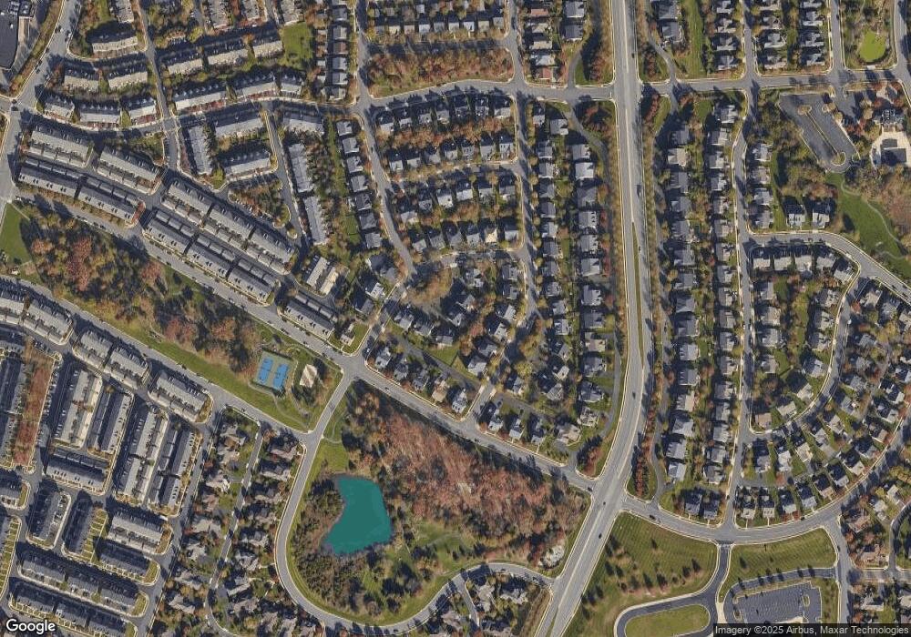
Map
Nearby Homes
- 22838 Arbor View Dr
- 42533 Magellan Square
- 22995 Lois Ln
- 42464 Regal Wood Dr
- 22879 Ember Brook Cir
- 42481 Rockrose Square Unit 204
- 42455 Hollyhock Terrace
- 22966 Cabral Terrace
- 42634 Hollyhock Terrace
- 42539 Mayflower Terrace Unit 204
- 22700 Parkland Farms Terrace
- 42628 Emperor Dr
- 22691 Blue Elder Terrace Unit 204
- 22687 Blue Elder Terrace Unit 104
- 42683 Explorer Dr
- 23069 Rushmore Ct
- 22796 Breezy Hollow Dr
- 23251 Christopher Thomas Ln
- 22520 Highcroft Terrace
- 23156 Horseshoe Trail Square
- 42581 Olmsted Dr
- 42569 Olmsted Dr
- 42573 Olmsted Dr
- 42593 Olmsted Dr
- 42565 Olmsted Dr
- 22899 Courtland Park Dr
- 22903 Courtland Park Dr
- 22891 Courtland Park Dr
- 22883 Courtland Park Dr
- 22907 Courtland Park Dr
- 22879 Courtland Park Dr
- 42580 Olmsted Dr
- 42584 Olmsted Dr
- 42554 Legacy Park Dr
- 42558 Legacy Park Dr
- 42588 Olmsted Dr
- 42568 Olmsted Dr
- 42550 Legacy Park Dr
- 42564 Olmsted Dr
- 42562 Legacy Park Dr