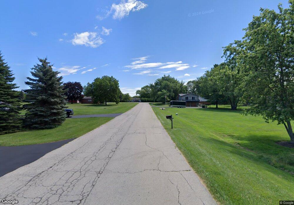
42583 N Berrong Ave Winthrop Harbor, IL 60096
Estimated Value: $369,000 - $467,000
3
Beds
3
Baths
3,164
Sq Ft
$133/Sq Ft
Est. Value
About This Home
This home is located at 42583 N Berrong Ave, Winthrop Harbor, IL 60096 and is currently estimated at $420,552, approximately $132 per square foot. 42583 N Berrong Ave is a home located in Lake County with nearby schools including Westfield School, North Prairie Junior High School, and Zion-Benton Township High School.
Ownership History
Date
Name
Owned For
Owner Type
Purchase Details
Closed on
Apr 15, 2025
Sold by
Whiteside David W and Whiteside Arlene M
Bought by
Whiteside Family 2025 Trust and Whiteside
Current Estimated Value
Create a Home Valuation Report for This Property
The Home Valuation Report is an in-depth analysis detailing your home's value as well as a comparison with similar homes in the area
Home Values in the Area
Average Home Value in this Area
Purchase History
| Date | Buyer | Sale Price | Title Company |
|---|---|---|---|
| Whiteside Family 2025 Trust | -- | None Listed On Document |
Source: Public Records
Mortgage History
| Date | Status | Borrower | Loan Amount |
|---|---|---|---|
| Previous Owner | Whiteside David W | $260,000 | |
| Previous Owner | Whiteside David W | $180,400 | |
| Previous Owner | Whiteside David W | $125,000 | |
| Previous Owner | Whiteside David W | $100,000 | |
| Previous Owner | Whiteside David W | $100,000 | |
| Previous Owner | Whiteside David W | $132,000 | |
| Previous Owner | Whiteside David W | $100,000 | |
| Previous Owner | Whiteside David W | $132,000 | |
| Previous Owner | Whiteside David W | $479,000 | |
| Previous Owner | Whiteside David W | $90,000 | |
| Previous Owner | Whiteside David W | $160,000 |
Source: Public Records
Tax History Compared to Growth
Tax History
| Year | Tax Paid | Tax Assessment Tax Assessment Total Assessment is a certain percentage of the fair market value that is determined by local assessors to be the total taxable value of land and additions on the property. | Land | Improvement |
|---|---|---|---|---|
| 2024 | $10,450 | $122,082 | $16,239 | $105,843 |
| 2023 | $10,450 | $113,493 | $15,676 | $97,817 |
| 2022 | $9,390 | $96,805 | $15,225 | $81,580 |
| 2021 | $9,602 | $94,343 | $14,838 | $79,505 |
| 2020 | $9,292 | $90,031 | $14,160 | $75,871 |
| 2019 | $9,047 | $85,419 | $13,435 | $71,984 |
| 2018 | $11,024 | $101,396 | $16,301 | $85,095 |
| 2017 | $10,931 | $95,387 | $15,335 | $80,052 |
| 2016 | $10,631 | $90,810 | $14,599 | $76,211 |
| 2015 | $10,413 | $83,282 | $13,389 | $69,893 |
| 2014 | $8,053 | $70,193 | $15,698 | $54,495 |
| 2012 | $7,915 | $72,943 | $16,313 | $56,630 |
Source: Public Records
Map
Nearby Homes
- 3109 11th St
- 3106 13th St
- 830 Russell Ave
- 429 Megan Place
- 0 13th St Unit MRD12432014
- 3015 13th St
- 1228 Pennsylvania Ave
- 0 Garnett Ave
- 919 Charles Ave
- 2404 13th St
- 242 Thompson Ave
- 140 Old Darby Ln
- 42908 N Lewis Ave
- 630 Whitney Ave
- 0 14th St Unit MRD12502206
- 43100 N Lewis Ave
- 832 Fulton Ave
- 11279 W Russell Rd
- 1405 Lewis Ave
- 1810 5th St
- 42578 N Berrong Ct
- 10760 9th St
- 3133 Frans Ct
- 3132 Frans Ct
- 42584 N Berrong Ct
- 42584 Berrong Ct
- 42635 N Berrong Ct
- 10738 9th St
- 42608 N Berrong Ct
- 3125 Frans Ct
- 42655 N Berrong Ct
- 800 Roberts Rd
- 3121 Frans Ct
- 3205 9th St
- 42661 N Berrong Ct
- 738 Roberts Rd
- 822 Roberts Rd
- 818 Roberts Rd
- 3209 9th St
- 730 Roberts Rd
