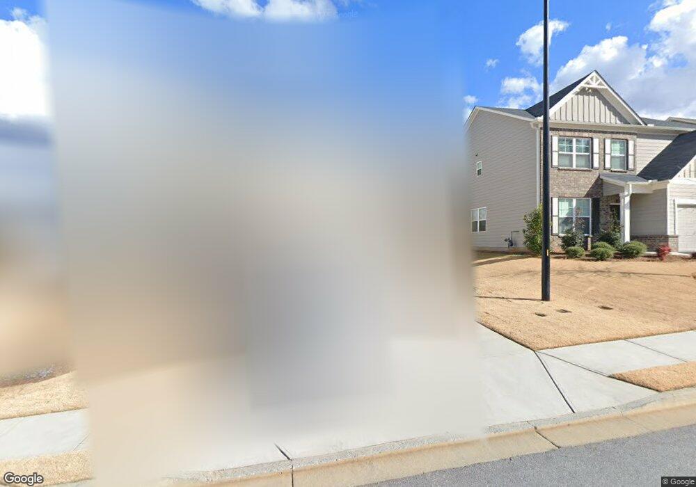
4259 Linworth Blvd Austell, GA 30106
Estimated Value: $432,000 - $491,000
4
Beds
3
Baths
2,364
Sq Ft
$193/Sq Ft
Est. Value
About This Home
This home is located at 4259 Linworth Blvd, Austell, GA 30106 and is currently estimated at $457,383, approximately $193 per square foot. 4259 Linworth Blvd is a home with nearby schools including Deerwood Elementary School, Clarkdale Elementary School, and Garrett Middle School.
Ownership History
Date
Name
Owned For
Owner Type
Purchase Details
Closed on
Feb 19, 2025
Sold by
Phillips Matthew and Sharpe Jamar
Bought by
Phillips Matthew and Howard Katherine
Current Estimated Value
Purchase Details
Closed on
Dec 6, 2018
Sold by
Beazer Gain Llc
Bought by
Phillips Matthew and Sharpe Jamar
Home Financials for this Owner
Home Financials are based on the most recent Mortgage that was taken out on this home.
Original Mortgage
$256,080
Interest Rate
4.9%
Mortgage Type
New Conventional
Create a Home Valuation Report for This Property
The Home Valuation Report is an in-depth analysis detailing your home's value as well as a comparison with similar homes in the area
Home Values in the Area
Average Home Value in this Area
Purchase History
| Date | Buyer | Sale Price | Title Company |
|---|---|---|---|
| Phillips Matthew | -- | None Listed On Document | |
| Phillips Matthew | $264,000 | -- |
Source: Public Records
Mortgage History
| Date | Status | Borrower | Loan Amount |
|---|---|---|---|
| Previous Owner | Phillips Matthew | $256,080 |
Source: Public Records
Tax History Compared to Growth
Tax History
| Year | Tax Paid | Tax Assessment Tax Assessment Total Assessment is a certain percentage of the fair market value that is determined by local assessors to be the total taxable value of land and additions on the property. | Land | Improvement |
|---|---|---|---|---|
| 2025 | $4,339 | $172,200 | $36,000 | $136,200 |
| 2024 | $5,105 | $207,360 | $36,000 | $171,360 |
| 2023 | $4,679 | $212,748 | $36,000 | $176,748 |
| 2022 | $3,239 | $120,316 | $26,000 | $94,316 |
| 2021 | $3,239 | $120,316 | $26,000 | $94,316 |
| 2020 | $2,922 | $105,856 | $26,000 | $79,856 |
| 2019 | $2,878 | $103,856 | $24,000 | $79,856 |
| 2018 | $304 | $10,000 | $10,000 | $0 |
Source: Public Records
Map
Nearby Homes
- 4265 Linworth Blvd
- 4265 Linworth Blvd Unit 12
- 4253 Linworth Blvd
- 4271 Linworth Blvd
- 4256 Linworth Blvd
- 4250 Linworth Blvd
- 4250 Linworth Blvd Unit 6
- 4262 Linworth Blvd
- 4277 Linworth Blvd
- 2016 Anderson Mill Rd
- 4268 Linworth Blvd
- 4244 Linworth Blvd Unit 7
- 4244 Linworth Blvd
- 4232 Linworth Blvd
- 4232 Linworth Blvd
- 4238 Linworth Blvd Unit 8
- 0 Anderson Ridge Dr Unit 8212664
- 4240 Rhinehart Dr
- 4280 Linworth Blvd
- 4241 Rhinehart Dr